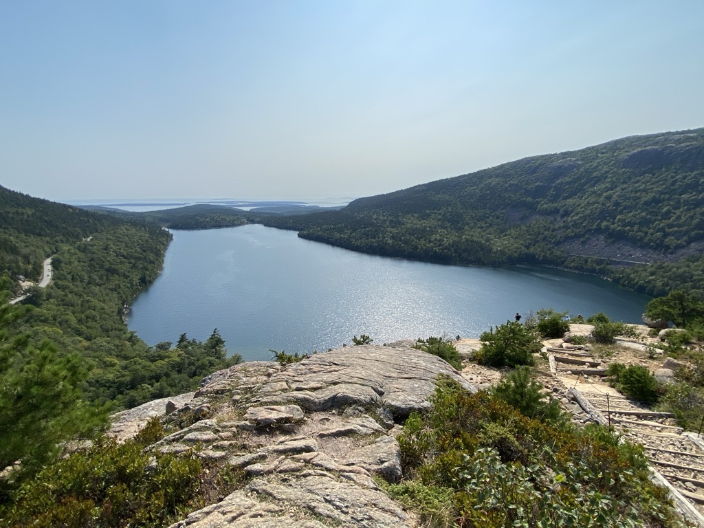
Jordan Pond is an oligotrophic tarn in Acadia National Park near the town of Bar Harbor, Maine. The pond covers 187 acres (76 ha) to a maximum depth of 150 feet (46 m) with a shoreline of 3.6 miles (5.8 km). The pond was formed by the Wisconsin Ice Sheet during the last glacial period. Penobscot Mountain (1194 ft) rises to the west, while Pemetic Mountain (1247 ft) rises to the east. Two roche moutonnées known as The Bubbles (North and South) rise above the northeastern shoreline. The southern end is constrained by glacial debris and an artificial dam. The pond has clear water, with visibility normally 44 feet (13.4 m) and occasionally recorded up to 61 feet (18.6 m), the deepest recordings in Maine. The pond exhibits high levels of dissolved oxygen, and low levels of plant nutrients and plant life. Some types of boating are permitted, but people and pets are prohibited from entering the water as it is the water supply for the village of Seal Harbor.
We use GPS information embedded into the photo when it is available.
3D mountains overlay
Adjust mountain panorama to perfectly match your photos because recorded by camera photo position might be imprecise.
Move tool
Rotate tool
Zoom
More customization
Choose which peak labels should make into the final photo and what photo title should be.
Next
Photo Location
Satellitte
Flat map
Relief map
Latitude
Longitude
Altitude
OR
Latitude
°'''
Longitude
°'''
Apply
Register Peak
Peak Name
Latitude
Longitude
Altitude
Register
Teleport
PeakVisor
This 3D model of Sagarmatha National Park in Nepal was made using the PeakVisor app topographic data. The mobile app features higher precision models worldwide, more topographic details, and works offline. Download PeakVisor maps today.
Download OBJ model
PeakVisor
The download should start shortly. If you find it useful please consider supporting the PeakVisor app.
PeakVisor for iOS and Android
Be a superhero of outdoor navigation with state-of-the-art 3D maps and mountain identification in the palm of your hand!


.jpg)


