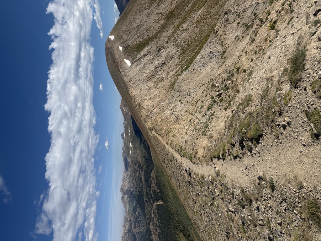
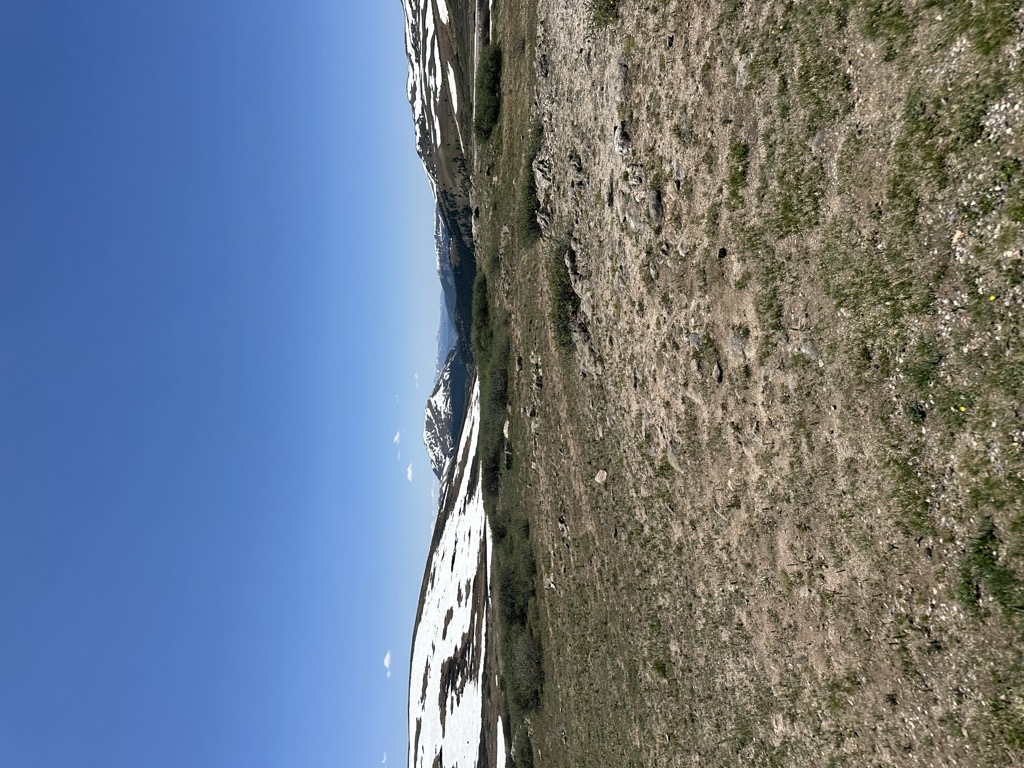
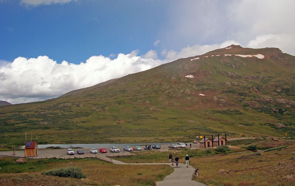
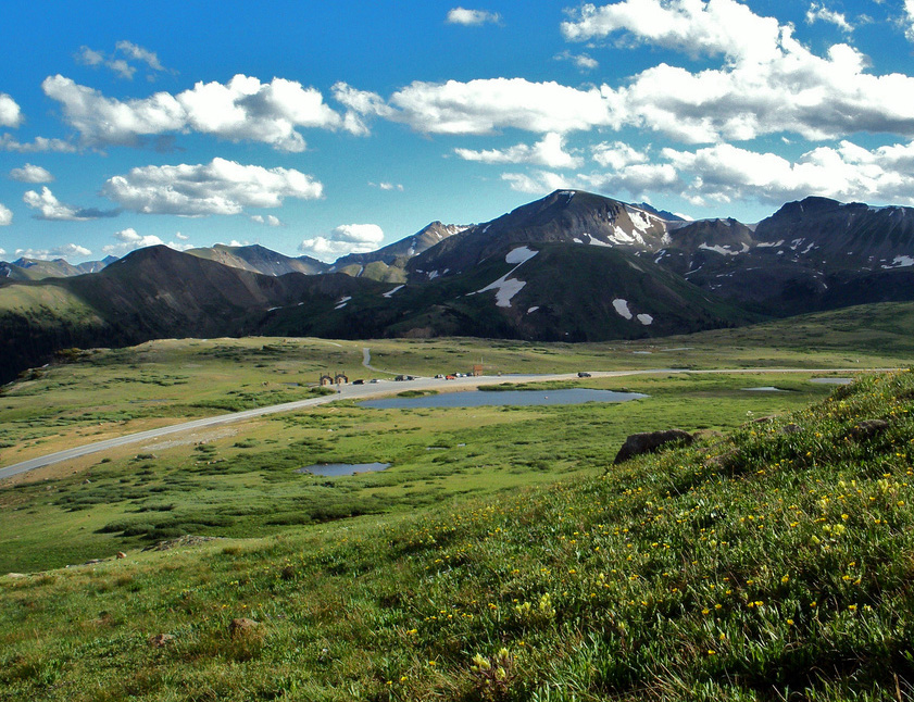
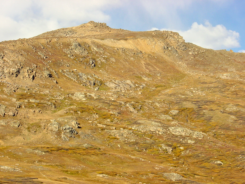
Independence Pass, originally known as Hunter Pass, is a high mountain pass in central Colorado, United States. It is at elevation 12,095 ft (3,687 m) on the Continental Divide in the Sawatch Range of the Rocky Mountains. The pass is midway between Aspen and Twin Lakes, on the border between Pitkin and Lake counties. State Highway 82 traverses it, and after Cottonwood Pass to the south, is the second highest elevation of a paved Colorado state highway on a through road. It is also the second-highest pass with an improved road in the state, the fourth-highest paved road in the state and the second highest paved crossing of the Continental Divide in the U.S. Because of the heavy snowfall at its elevation, it is closed in wintertime, isolating Aspen from direct access from the east during the ski season. When the pass is open in warmer weather, it is a popular destination. A scenic overlook near the pass allows visitors to take in the alpine tundra environment above treeline, and offers excellent views to the east of Mount Elbert, Colorado's highest peak and the second-highest mountain in the contiguous United States. Rock climbers are drawn to nearby bouldering opportunities, and informal paths lead to nearby mountain summits of even higher elevation. Backcountry skiers make use of the slopes during the late spring and early summer. Since 2011 the pass has been on the route of the USA Pro Cycling Challenge. The pass was formed by glacial action and erosion in the region, and its first recorded sighting was by Zebulon Pike in 1806. Ferdinand Hayden surveyed it in 1873. As part of the Continental Divide, it was the limit of European settlement in the region at the time, with the land to the west reserved for the Ute people. Prospectors who defied governor Frederick Walker Pitkin's order crossed the pass on July 4, 1879, giving it its current name and setting up a similarly named village (now a ghost town) to its west. A toll road built across the pass was abandoned and neglected after a railroad connection was made to Aspen. A new road replaced it in the 1920s; portions of the old route can still be seen along the western approach. The Independence Pass Foundation, based in Aspen, works to repair damage to the pass's environment caused by both roads since 1984.
We use GPS information embedded into the photo when it is available.
3D mountains overlay
Adjust mountain panorama to perfectly match your photos because recorded by camera photo position might be imprecise.
Move tool
Rotate tool
Zoom
More customization
Choose which peak labels should make into the final photo and what photo title should be.
Next
Photo Location
Satellitte
Flat map
Relief map
Latitude
Longitude
Altitude
OR
Latitude
°'''
Longitude
°'''
Apply
Register Peak
Peak Name
Latitude
Longitude
Altitude
Register
Teleport
PeakVisor
This 3D model of Sagarmatha National Park in Nepal was made using the PeakVisor app topographic data. The mobile app features higher precision models worldwide, more topographic details, and works offline. Download PeakVisor maps today.
Download OBJ model
PeakVisor
The download should start shortly. If you find it useful please consider supporting the PeakVisor app.
PeakVisor for iOS and Android
Be a superhero of outdoor navigation with state-of-the-art 3D maps and mountain identification in the palm of your hand!