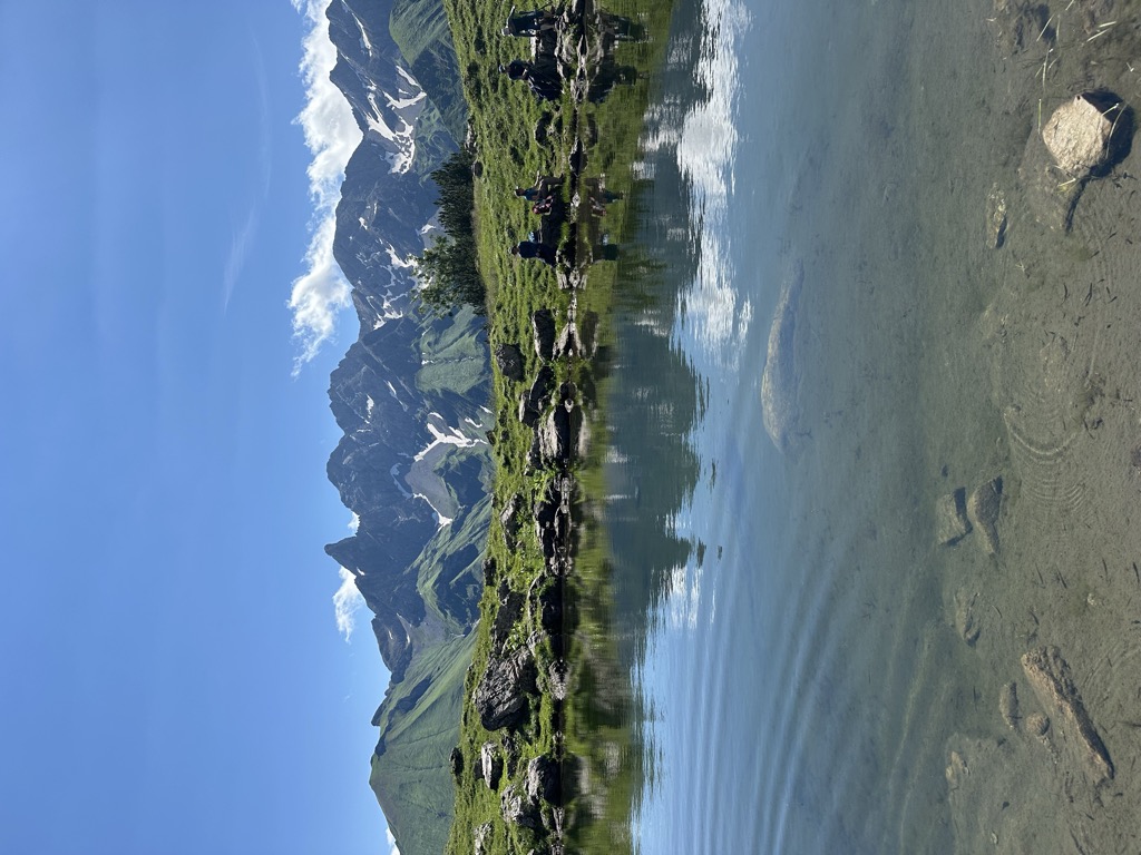
The Guggersee is a small mountain lake in the Southeastern Walsertal Mountains (Südöstliche Walsertaler Berge), a subgroup of the Allgäu Alps. It is located at a height of 1,709 metres, above the Rappenalpbach valley in the municipality of Oberstdorf. The lake lies 1,035 metres as the crow flies southwest of and below the Alpgundkopf (2,177 m) on a Panorama Way (Panoramaweg) between Birgsau in the valley and the Mindelheim Hut (2,013 m). On this path, 455 metres southwest at a height of 1,727 metres, is the alm of Vordere Tauferbergsalpe. From Birgsau the lake is about 2 hours walk. The lake is 49 metres long and a maximum of 25 metres wide. It has a shore length of 119 metres and an area of around 843 m². Formerly it was up to 75 metres long, but the northern part has silted up.
We use GPS information embedded into the photo when it is available.
3D mountains overlay
Adjust mountain panorama to perfectly match your photos because recorded by camera photo position might be imprecise.
Move tool
Rotate tool
Zoom
More customization
Choose which peak labels should make into the final photo and what photo title should be.
Next
Photo Location
Satellitte
Flat map
Relief map
Latitude
Longitude
Altitude
OR
Latitude
°'''
Longitude
°'''
Apply
Register Peak
Peak Name
Latitude
Longitude
Altitude
Register
Teleport
PeakVisor
This 3D model of Sagarmatha National Park in Nepal was made using the PeakVisor app topographic data. The mobile app features higher precision models worldwide, more topographic details, and works offline. Download PeakVisor maps today.
Download OBJ model
PeakVisor
The download should start shortly. If you find it useful please consider supporting the PeakVisor app.
PeakVisor for iOS and Android
Be a superhero of outdoor navigation with state-of-the-art 3D maps and mountain identification in the palm of your hand!