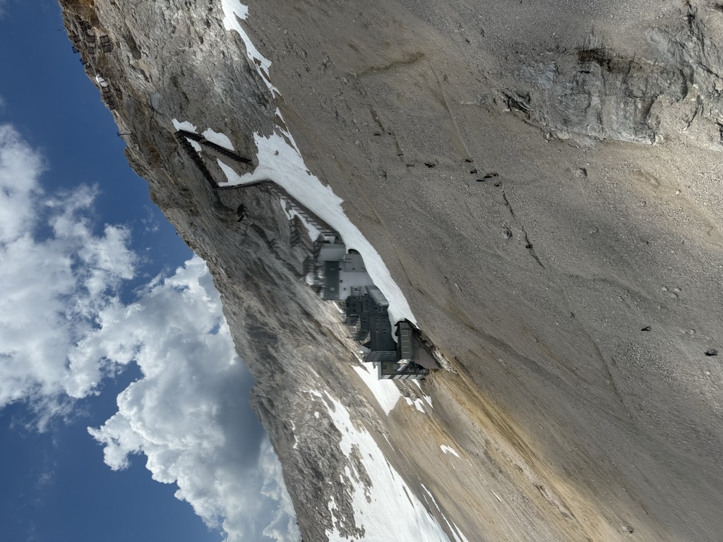
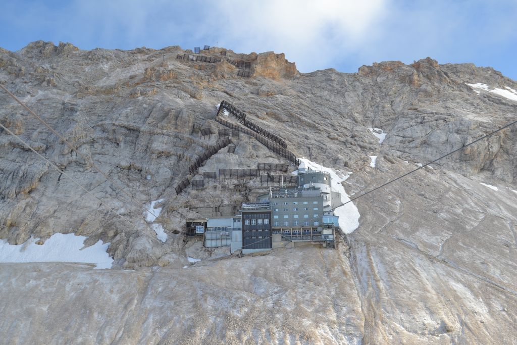
The Schneefernerhaus is a former hotel in the Alps, that is now used as an environmental research station. It lies immediately below the summit of the Zugspitze at a height of 2,650 m and was opened on 20 January 1931. It used to house the top station of the Bavarian Zugspitze Railway as well as a tourist hotel. There was then a cable car from the Schneefernerhaus to the Zugspitze summit. In 1938 a gallery for pedestrians was opened from the ridge station of the Tyrolean Zugspitze Cable Car to the Schneefernerhaus. From 1945 to 1952 the hotel was commandeered for use as a "recreation facility" by the US Forces. On 15 May 1965 an avalanche, that swept over the sun terrace of the hotel and the lifts on the Zugspitzplatt, claimed 10 lives and injured 21. This tragedy was the impetus behind the introduction of a state avalanche warning service and local avalanche commissions. In 1988, after the new station of the Zugspitze Railway was opened on the plateau and, in 1989, the SonnAlpin restaurant there was extended, the hotel and restaurant operation at the Schneefernerhaus finally closed on 14 January 1992. The trackage of the Zugspitze Railway is still there but is now only used to serve the research station.
We use GPS information embedded into the photo when it is available.
3D mountains overlay
Adjust mountain panorama to perfectly match your photos because recorded by camera photo position might be imprecise.
Move tool
Rotate tool
Zoom
More customization
Choose which peak labels should make into the final photo and what photo title should be.
Next
Photo Location
Satellitte
Flat map
Relief map
Latitude
Longitude
Altitude
OR
Latitude
°'''
Longitude
°'''
Apply
Register Peak
Peak Name
Latitude
Longitude
Altitude
Register
Teleport
PeakVisor
This 3D model of Sagarmatha National Park in Nepal was made using the PeakVisor app topographic data. The mobile app features higher precision models worldwide, more topographic details, and works offline. Download PeakVisor maps today.
Download OBJ model
PeakVisor
The download should start shortly. If you find it useful please consider supporting the PeakVisor app.
PeakVisor for iOS and Android
Be a superhero of outdoor navigation with state-of-the-art 3D maps and mountain identification in the palm of your hand!