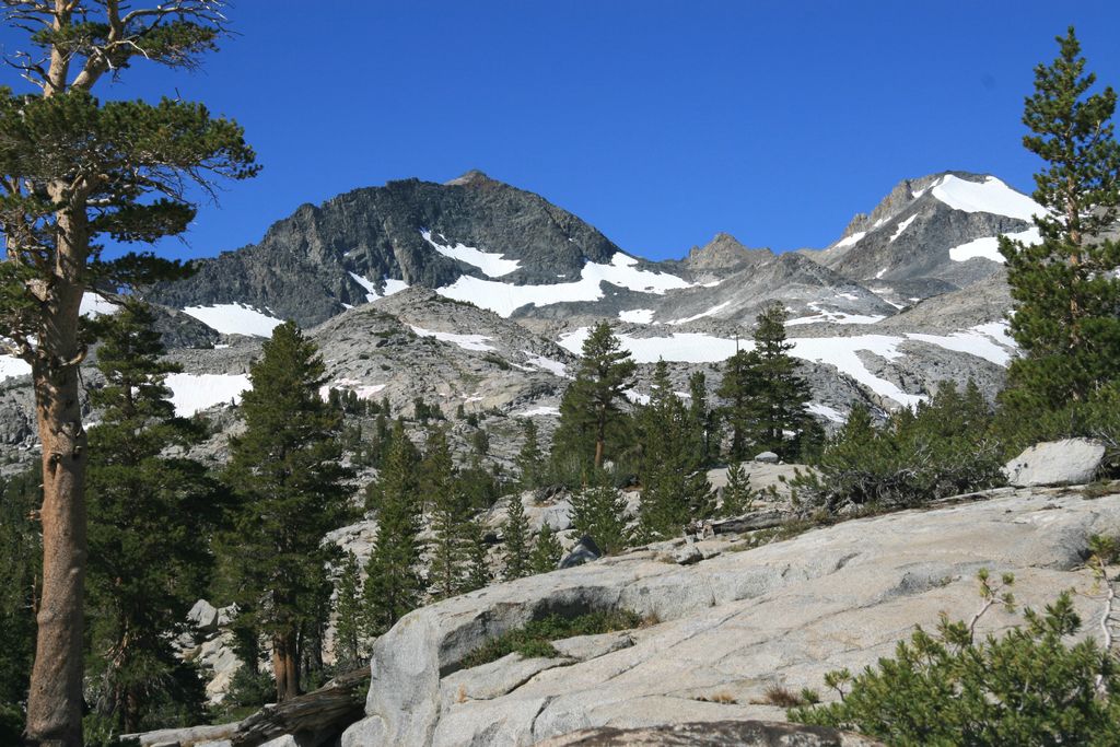
Donohue Pass is a high mountain pass on the boundary between Yosemite National Park and the Ansel Adams Wilderness. Its elevation is 11,066 feet (3,373 m). It is situated between Mount Lyell and Donohue Peak. The John Muir Trail and the Pacific Crest Trail both transverse the pass. Following the John Muir Trail, the pass is 6.3 miles (10.1 km) from Thousand Island Lake, and 12.8 miles (20.6 km) from Tuolumne Meadows. Donohue Pass is the sixth highest pass of the ten named passes on the John Muir Trail. The pass and Donohue Peak were named in 1895 for Sergeant Donohue, Troop K, 4th Cavalry who made the first ascent of the peak.
We use GPS information embedded into the photo when it is available.
3D mountains overlay
Adjust mountain panorama to perfectly match your photos because recorded by camera photo position might be imprecise.
Move tool
Rotate tool
Zoom
More customization
Choose which peak labels should make into the final photo and what photo title should be.
Next
Photo Location
Satellitte
Flat map
Relief map
Latitude
Longitude
Altitude
OR
Latitude
°'''
Longitude
°'''
Apply
Register Peak
Peak Name
Latitude
Longitude
Altitude
Register
Teleport
PeakVisor
This 3D model of Sagarmatha National Park in Nepal was made using the PeakVisor app topographic data. The mobile app features higher precision models worldwide, more topographic details, and works offline. Download PeakVisor maps today.
Download OBJ model
PeakVisor
The download should start shortly. If you find it useful please consider supporting the PeakVisor app.
PeakVisor for iOS and Android
Be a superhero of outdoor navigation with state-of-the-art 3D maps and mountain identification in the palm of your hand!


.jpg)


