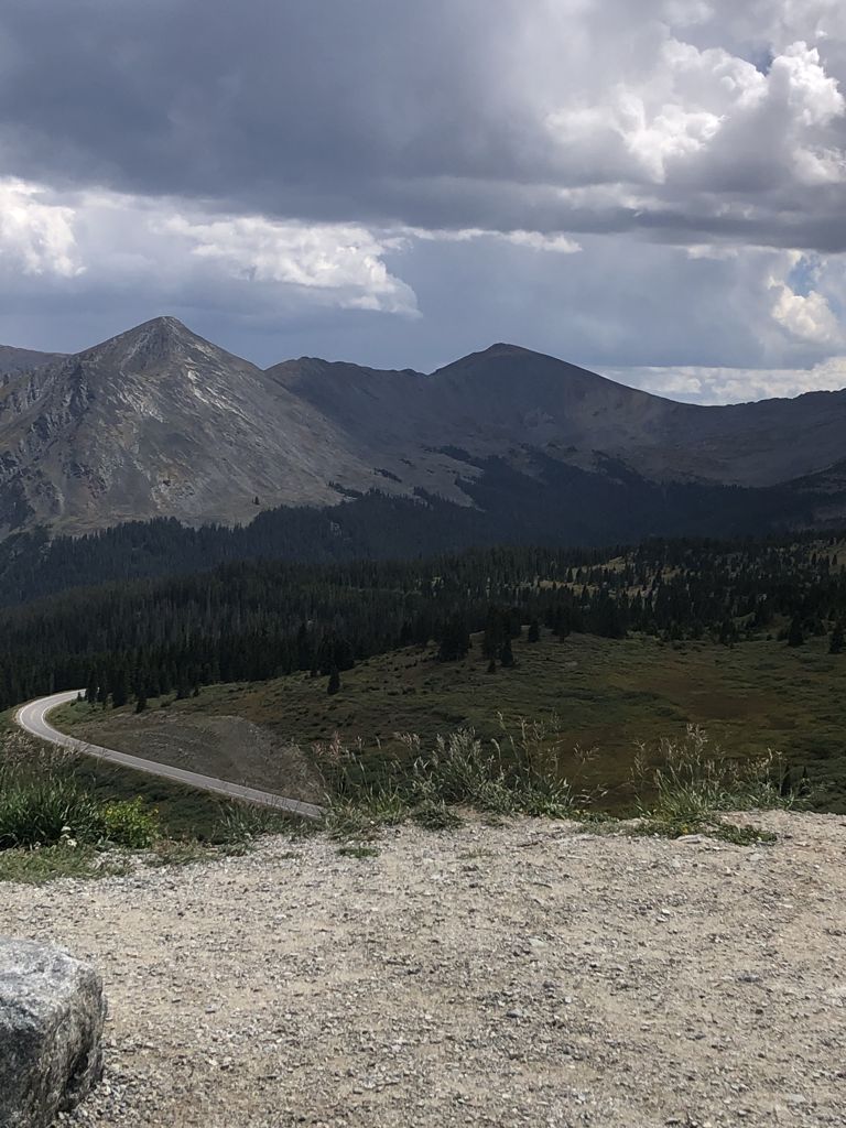
Cottonwood Pass (elevation 12,119 feet (3,694 m)) is a high mountain pass on the Continental Divide in south-central Colorado in the Rocky Mountains of the western United States. It is located along the border of Gunnison and Chaffee counties in Colorado, and is in the Sawatch Range. The road over Cottonwood Pass is the highest paved crossing of the Continental Divide in the U.S., and the second highest pass with an improved road in the state (the highest is Trail Ridge Road, US HWY 34 at 12,183 ft). It is the fourth-highest paved road in the state after Mount Blue Sky Scenic Byway, Pikes Peak Highway, and Trail Ridge Road. The pass is closed seasonally due to heavy snowfall, typically from around October until sometime in May. When open, the pass can be accessed from Buena Vista to the east by following Chaffee County Road 306. Near the summit, the road name changes to Gunnison County Road 209 as it continues to the west, passing near Taylor Park Reservoir and continuing down into the town of Almont. The road is fully paved on both sides. When open, the pass is one of the few routes through the Sawatch Range accessible in a standard two-wheel drive passenger vehicle. Independence Pass is another such seasonal route through this mountain range, while efforts are made to ensure that U.S. 50 at Monarch Pass remains open year-round for all vehicles, barring extreme weather conditions. The area surrounding the pass is mostly forest, with the San Isabel National Forest to the east and the Gunnison National Forest to the west.
We use GPS information embedded into the photo when it is available.
3D mountains overlay
Adjust mountain panorama to perfectly match your photos because recorded by camera photo position might be imprecise.
Move tool
Rotate tool
Zoom
More customization
Choose which peak labels should make into the final photo and what photo title should be.
Next
Photo Location
Satellitte
Flat map
Relief map
Latitude
Longitude
Altitude
OR
Latitude
°'''
Longitude
°'''
Apply
Register Peak
Peak Name
Latitude
Longitude
Altitude
Register
Teleport
PeakVisor
This 3D model of Sagarmatha National Park in Nepal was made using the PeakVisor app topographic data. The mobile app features higher precision models worldwide, more topographic details, and works offline. Download PeakVisor maps today.
Download OBJ model
PeakVisor
The download should start shortly. If you find it useful please consider supporting the PeakVisor app.
PeakVisor for iOS and Android
Be a superhero of outdoor navigation with state-of-the-art 3D maps and mountain identification in the palm of your hand!