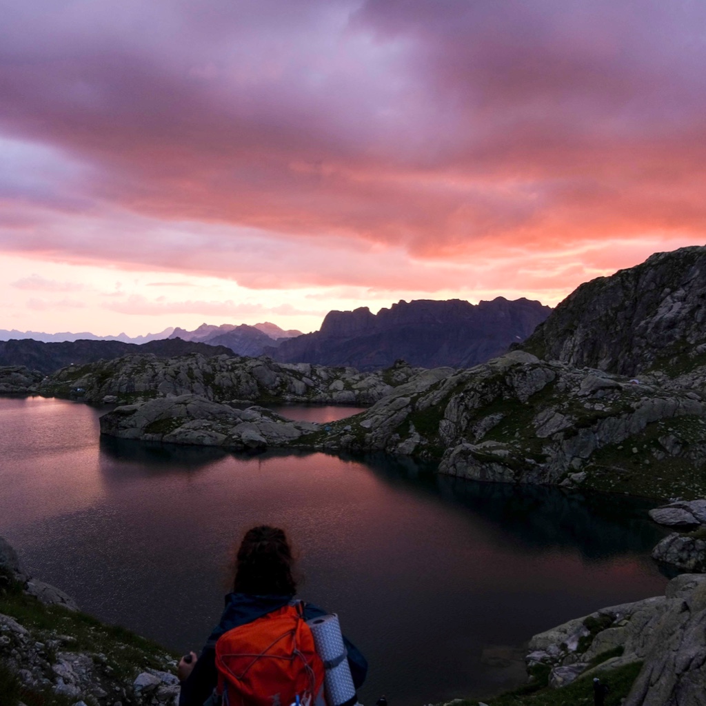
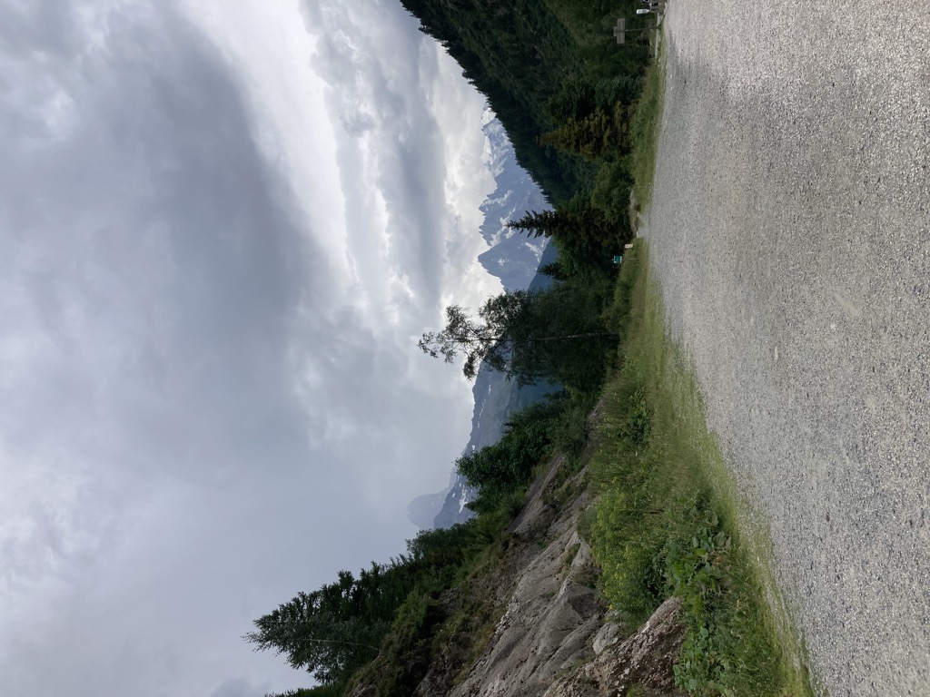
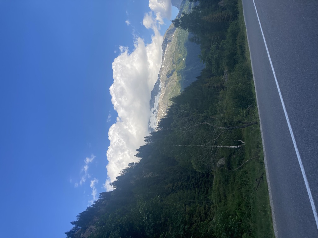
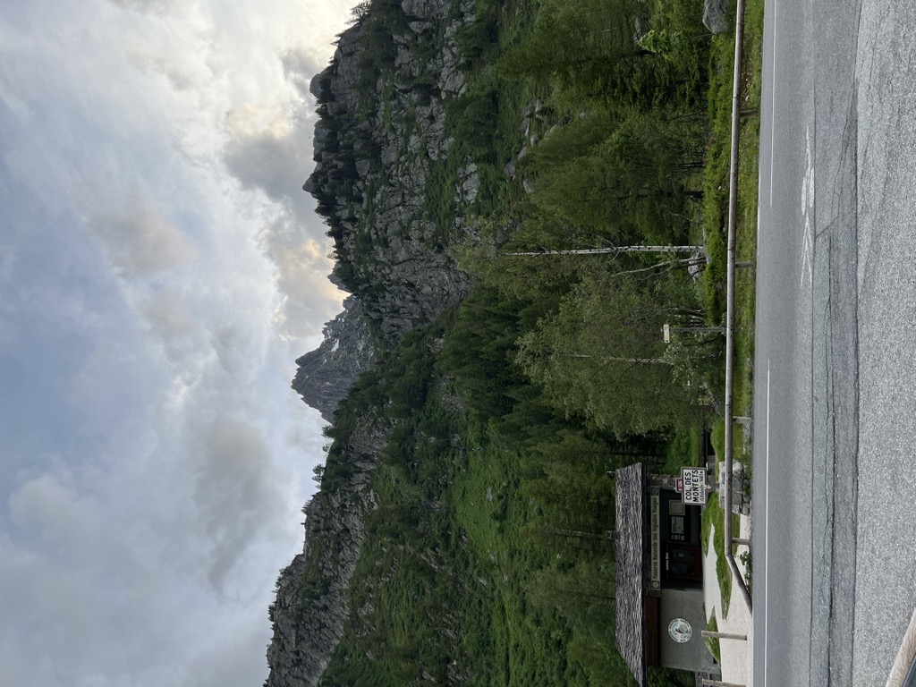
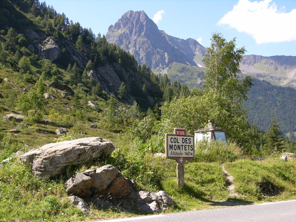
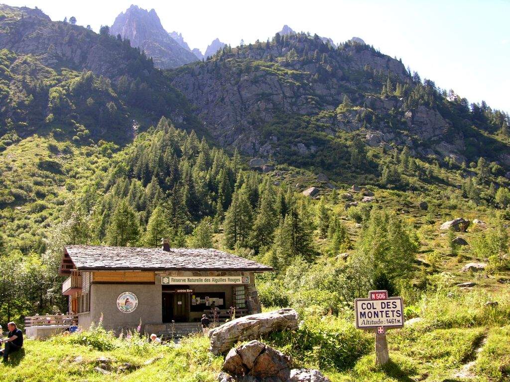
Col des Montets (elevation 1,461 m or 4,793 ft) is a mountain pass in the French Alps in the Haute-Savoie department of France. It is on the road between Chamonix, the Swiss Col de la Forclaz and Martigny in the canton of Valais, Switzerland. The pass is generally open in winter, but it can be closed in extreme weather and frequently requires snow chains and/or winter tires. Conditions can be checked with Chamonix tourist office. The railway tunnel of the Saint-Gervais–Vallorcine railway has been modified to also carry road traffic on a convoy basis between trains when the pass is closed. Elizabeth Robins Pennell bicycled through the pass in the 1890s. The pass appeared in the Tour de France five times from 1959 to 1977: Charly Gaul was the first rider to cross the pass in 1959.
We use GPS information embedded into the photo when it is available.
3D mountains overlay
Adjust mountain panorama to perfectly match your photos because recorded by camera photo position might be imprecise.
Move tool
Rotate tool
Zoom
More customization
Choose which peak labels should make into the final photo and what photo title should be.
Next
Photo Location
Satellitte
Flat map
Relief map
Latitude
Longitude
Altitude
OR
Latitude
°'''
Longitude
°'''
Apply
Register Peak
Peak Name
Latitude
Longitude
Altitude
Register
Teleport
PeakVisor
This 3D model of Sagarmatha National Park in Nepal was made using the PeakVisor app topographic data. The mobile app features higher precision models worldwide, more topographic details, and works offline. Download PeakVisor maps today.
Download OBJ model
PeakVisor
The download should start shortly. If you find it useful please consider supporting the PeakVisor app.
PeakVisor for iOS and Android
Be a superhero of outdoor navigation with state-of-the-art 3D maps and mountain identification in the palm of your hand!


.jpg)
.jpg)


