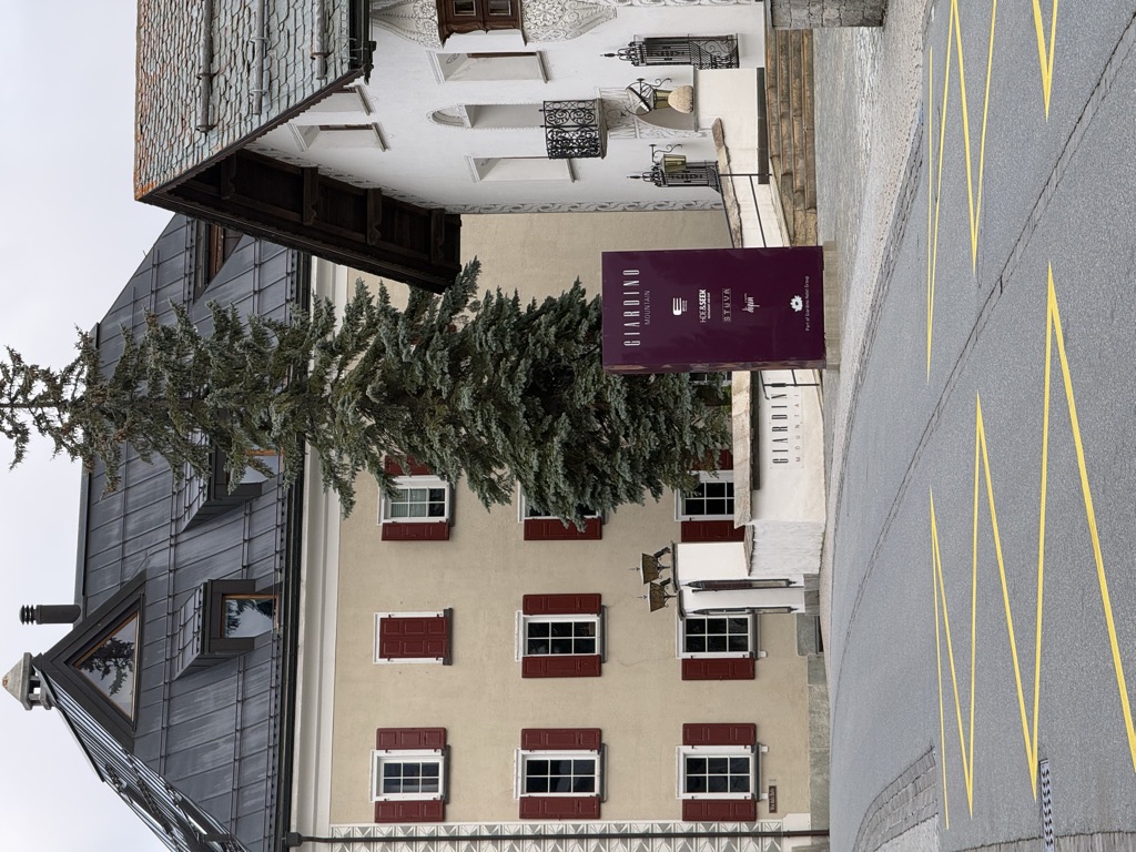
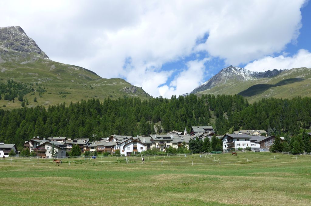
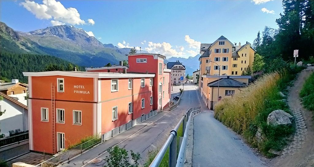
Champfèr (Romansh pronunciation: [tɕɐmpˈfɛːr] ) is a village in the Upper Engadin valley of the canton of Graubünden, Switzerland. The Western part of the village belongs to the municipality of Silvaplana and part of the village belongs to the municipality of St. Moritz. The two halves of the town are separated by the creek Ova da Suvretta. Lej da Champfèr, a basin of Lake Silvaplana, takes its name from the village. The village used to house a convent that has since been converted to the hotel Chesa Guardalej. The village is also home to the famous restaurant Joehri's Talvo run until March 2011 by chef Roland Joehri and his wife Brigitte. The Michelin Guide has awarded the restaurant, located in an old farmhouse, two stars. The etymology of Champfèr is unclear. One possibility is that it is based on a glacier. In 1129, its name was "Campofare", in 1471, Campher, and in 1519 Chiamfer (from Campus ferri). Another explanation could be that the name is meant to say fruitful fields or meadows, chan'ver. The Church San Rochus was built in 1521. The gourmet restaurant Talvo is located in Champfèr.
We use GPS information embedded into the photo when it is available.
3D mountains overlay
Adjust mountain panorama to perfectly match your photos because recorded by camera photo position might be imprecise.
Move tool
Rotate tool
Zoom
More customization
Choose which peak labels should make into the final photo and what photo title should be.
Next
Photo Location
Satellitte
Flat map
Relief map
Latitude
Longitude
Altitude
OR
Latitude
°'''
Longitude
°'''
Apply
Register Peak
Peak Name
Latitude
Longitude
Altitude
Register
Teleport
PeakVisor
This 3D model of Sagarmatha National Park in Nepal was made using the PeakVisor app topographic data. The mobile app features higher precision models worldwide, more topographic details, and works offline. Download PeakVisor maps today.
Download OBJ model
PeakVisor
The download should start shortly. If you find it useful please consider supporting the PeakVisor app.
PeakVisor for iOS and Android
Be a superhero of outdoor navigation with state-of-the-art 3D maps and mountain identification in the palm of your hand!