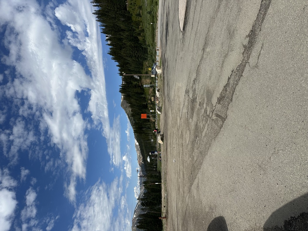
Berthoud Pass ( BURTH-əd; elevation 11,307 ft (3,446 m)) is a high mountain pass in central Colorado, in the Front Range of the Rocky Mountains of the western United States. The pass is located west of Denver, and provides a high route between upper Clear Creek Canyon to the upper valley of the Fraser River in Middle Park to the north. It traverses the continental divide at the Front Range, on the border between Clear Creek County and Grand County. The pass is named for Edward L. Berthoud, the chief surveyor of the Colorado Central Railroad during the 1870s. Accompanied by Jim Bridger, Berthoud discovered the pass in July 1861 while surveying a possible route for the railroad. Berthoud concluded that the pass was suitable as a wagon road, but not as a railroad, and was then hired by the Central Overland California and Pikes Peak Express Company to survey a route over the pass to Salt Lake. The route of U.S. Highway 40 currently traverses the pass north of its junction with Interstate 70 in Clear Creek Canyon. It provides primary road access to Winter Park and a secondary route to Steamboat Springs from Denver and the Colorado Front Range. However, the pass is one of the most notoriously difficult passes in Colorado for motorists, based on its height as well as the steep grades on both sides (6.3%) and the large number of switchbacks on the southern side of the pass. At least 55 avalanche paths have been mapped on Berthoud Pass, some of them intersecting U.S. Highway 40 and some of those intersecting the roadway at multiple points on the pass. In 2015, CDOT installed an automated propane-fueled avalanche mitigation system consisting of five units that create concussive blasts to mitigate snow slab buildup on avalanche path #5, Stanley.
We use GPS information embedded into the photo when it is available.
3D mountains overlay
Adjust mountain panorama to perfectly match your photos because recorded by camera photo position might be imprecise.
Move tool
Rotate tool
Zoom
More customization
Choose which peak labels should make into the final photo and what photo title should be.
Next
Photo Location
Satellitte
Flat map
Relief map
Latitude
Longitude
Altitude
OR
Latitude
°'''
Longitude
°'''
Apply
Register Peak
Peak Name
Latitude
Longitude
Altitude
Register
Teleport
PeakVisor
This 3D model of Sagarmatha National Park in Nepal was made using the PeakVisor app topographic data. The mobile app features higher precision models worldwide, more topographic details, and works offline. Download PeakVisor maps today.
Download OBJ model
PeakVisor
The download should start shortly. If you find it useful please consider supporting the PeakVisor app.
PeakVisor for iOS and Android
Be a superhero of outdoor navigation with state-of-the-art 3D maps and mountain identification in the palm of your hand!


.jpg)


