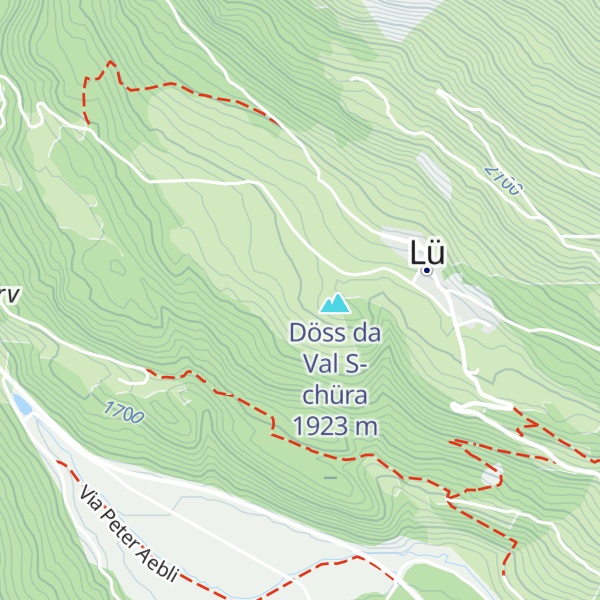
Alpine Astrovillage (AAV) is a center for astrophotography and stargazing in the eastern Swiss Alps, high above the valley floor of the Val Müstair in the canton Graubünden. It was founded by Drs. Vaclav & Jitka Ourednik during the International Year of Astronomy 2009. The complete name is Alpine Astrovillage Lü-Stailas (for “star light” in the Romansh language of the Canton). With its geographic location at an altitude above 1,900 metres (6,200 ft) and an exquisite sky quality with minimal light pollution, AAV is a unique place in Central Europe for all astronomical purposes. The program includes multi-day courses in astrophotography and sky observation. In collaboration with schools, AAV offers students the possibility to accomplish, under competent guidance, the practical parts of their matura (or Bachelor) or Masters projects. AAV also organizes and supervises astrophotography trips to the darkest places on Earth, including visits to the most famous and biggest professional observatories. Meanwhile, the Center enjoys, thanks to its educative activities, great national and international popularity and respect. For years, it has been known as an Erlebnisperle des Kantons Graubünden (Destination Pearl of the canton Graubünden). With its activity, the Center contributes in an important way to the preservation of the last dark sky oases on the planet for the coming generations.
We use GPS information embedded into the photo when it is available.
3D mountains overlay
Adjust mountain panorama to perfectly match your photos because recorded by camera photo position might be imprecise.
Move tool
Rotate tool
Zoom
More customization
Choose which peak labels should make into the final photo and what photo title should be.
Next
Photo Location
Satellitte
Flat map
Relief map
Latitude
Longitude
Altitude
OR
Latitude
°'''
Longitude
°'''
Apply
Register Peak
Peak Name
Latitude
Longitude
Altitude
Register
Teleport
PeakVisor
This 3D model of Sagarmatha National Park in Nepal was made using the PeakVisor app topographic data. The mobile app features higher precision models worldwide, more topographic details, and works offline. Download PeakVisor maps today.
Download OBJ model
PeakVisor
The download should start shortly. If you find it useful please consider supporting the PeakVisor app.
PeakVisor for iOS and Android
Be a superhero of outdoor navigation with state-of-the-art 3D maps and mountain identification in the palm of your hand!