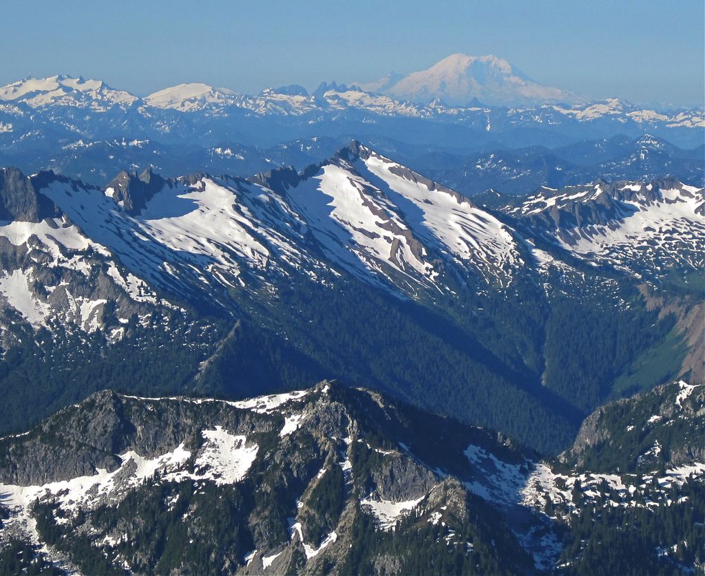
Whittier Peak is a 7,281-foot (2,219-metre) mountain summit located in the Glacier Peak Wilderness of the North Cascades in Washington state. The mountain is situated in Chelan County, in the Wenatchee National Forest. Its nearest higher neighbor is Mount David, 2.26 mi (3.64 km) to the northeast, and Indian Head Peak is 5.2 mi (8.4 km) to the northwest. Precipitation runoff from Whittier Peak drains into tributaries of the Wenatchee River. The peak was named for poet John Greenleaf Whittier by Albert Hale Sylvester, pioneer surveyor, explorer, topographer, and forest supervisor in the Cascades who named thousands of natural features. Other peaks in the immediate vicinity named by Sylvester after poets include Irving Peak, Poe Mountain, Longfellow Mountain, and Bryant Peak.
We use GPS information embedded into the photo when it is available.
3D mountains overlay
Adjust mountain panorama to perfectly match your photos because recorded by camera photo position might be imprecise.
Move tool
Rotate tool
Zoom
More customization
Choose which peak labels should make into the final photo and what photo title should be.
Next
Photo Location
Satellitte
Flat map
Relief map
Latitude
Longitude
Altitude
OR
Latitude
°'''
Longitude
°'''
Apply
Register Peak
Peak Name
Latitude
Longitude
Altitude
Register
Teleport
PeakVisor
This 3D model of Sagarmatha National Park in Nepal was made using the PeakVisor app topographic data. The mobile app features higher precision models worldwide, more topographic details, and works offline. Download PeakVisor maps today.
Download OBJ model
PeakVisor
The download should start shortly. If you find it useful please consider supporting the PeakVisor app.
PeakVisor for iOS and Android
Be a superhero of outdoor navigation with state-of-the-art 3D maps and mountain identification in the palm of your hand!