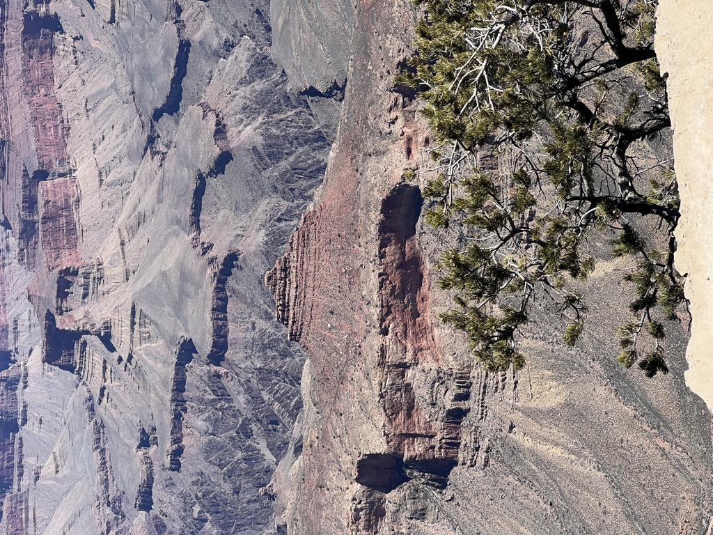
The Howlands Butte, elevation 5,572 feet (1,698 m), is a minor butte in the southeast drainage of the very large Clear Creek drainage. Clear Creek is a medium length flowing creek, just upstream of the major Bright Angel Creek outfall into the Colorado River, Granite Gorge. The Howlands Butte was officially named in 1932 for brothers Seneca and Oramel G. Howland, members of the Powell Geographic Expedition of 1869. Just two days from the expedition's intended destination, the pair and William H. Dunn left the expedition, fearing they could not survive the dangers of the river much longer. They hiked out of the canyon and were never seen again. Separation Rapids on the river is where they departed from Powell.
By prominence The Howlands Butte is
# 59 out of 280 in Grand Canyon National Park # 44 out of 203 in the Kaibab Plateau
We use GPS information embedded into the photo when it is available.
3D mountains overlay
Adjust mountain panorama to perfectly match your photos because recorded by camera photo position might be imprecise.
Move tool
Rotate tool
Zoom
More customization
Choose which peak labels should make into the final photo and what photo title should be.
Next
Photo Location
Satellitte
Flat map
Relief map
Latitude
Longitude
Altitude
OR
Latitude
°'''
Longitude
°'''
Apply
Register Peak
Peak Name
Latitude
Longitude
Altitude
Register
Teleport
PeakVisor
This 3D model of Sagarmatha National Park in Nepal was made using the PeakVisor app topographic data. The mobile app features higher precision models worldwide, more topographic details, and works offline. Download PeakVisor maps today.
Download OBJ model
PeakVisor
The download should start shortly. If you find it useful please consider supporting the PeakVisor app.
PeakVisor for iOS and Android
Be a superhero of outdoor navigation with state-of-the-art 3D maps and mountain identification in the palm of your hand!