Teisenberg is a mountain in Bavaria located between the villages Inzell, Anger and Teisendorf.
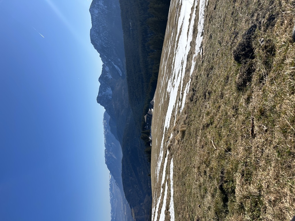
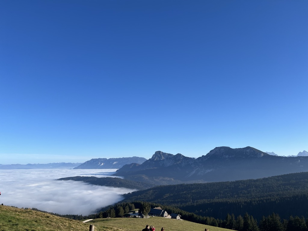
It's the northernmost thousand-metre peak in the German Alps and belongs to the Chiemgau Alps. It offers a view of the Northern Limestone Alps, which tower over it here by about 500 metres in altitude.
Below the summit at an altitude of 1270 m is the Stoißer Alm, popular among hikers and mountain bikers. It is open all year round. Also located on the Teisenberg is the Bäcker Alm at 1067 m above sea level, which is open from May to October.
Routes:
Five routes to the Teisenberg are supervised by the DAV section Teisendorf. The summit can be reached in 1½ - 2 hours.
Feilenreit - large tiled stone - Schneid
Seiberstadt - shortest way to Stoißer Alm / summit
Neukirchen/Lochmühle - joins the trail from Seiberstadt at 1000 m.
Hub - possible via Achterhütte or Schneid
Numerous smaller paths and forest roads offer the possibility to determine your own tours. Other well-known trails are the Klostersteig and the Zickzackweg.
There's a hiking trail (T1) leading to the summit.
The nearest mountain hut is Stoißer Alm located 305m/1 000ft ESE of the summit.
By prominence Teisenberg is
# 73 out of 8134 in Bavaria # 84 out of 37308 in Germany # 13 out of 321 in Landkreis Berchtesgadener Land # 71 out of 2187 in the Bavarian Alps # 18 out of 377 in the Chiemgau Alps
We use GPS information embedded into the photo when it is available.
3D mountains overlay
Adjust mountain panorama to perfectly match your photos because recorded by camera photo position might be imprecise.
Move tool
Rotate tool
Zoom
More customization
Choose which peak labels should make into the final photo and what photo title should be.
Next
Photo Location
Satellitte
Flat map
Relief map
Latitude
Longitude
Altitude
OR
Latitude
°'''
Longitude
°'''
Apply
Register Peak
Peak Name
Latitude
Longitude
Altitude
Register
Teleport
PeakVisor
This 3D model of Sagarmatha National Park in Nepal was made using the PeakVisor app topographic data. The mobile app features higher precision models worldwide, more topographic details, and works offline. Download PeakVisor maps today.
Download OBJ model
PeakVisor
The download should start shortly. If you find it useful please consider supporting the PeakVisor app.
PeakVisor for iOS and Android
Be a superhero of outdoor navigation with state-of-the-art 3D maps and mountain identification in the palm of your hand!