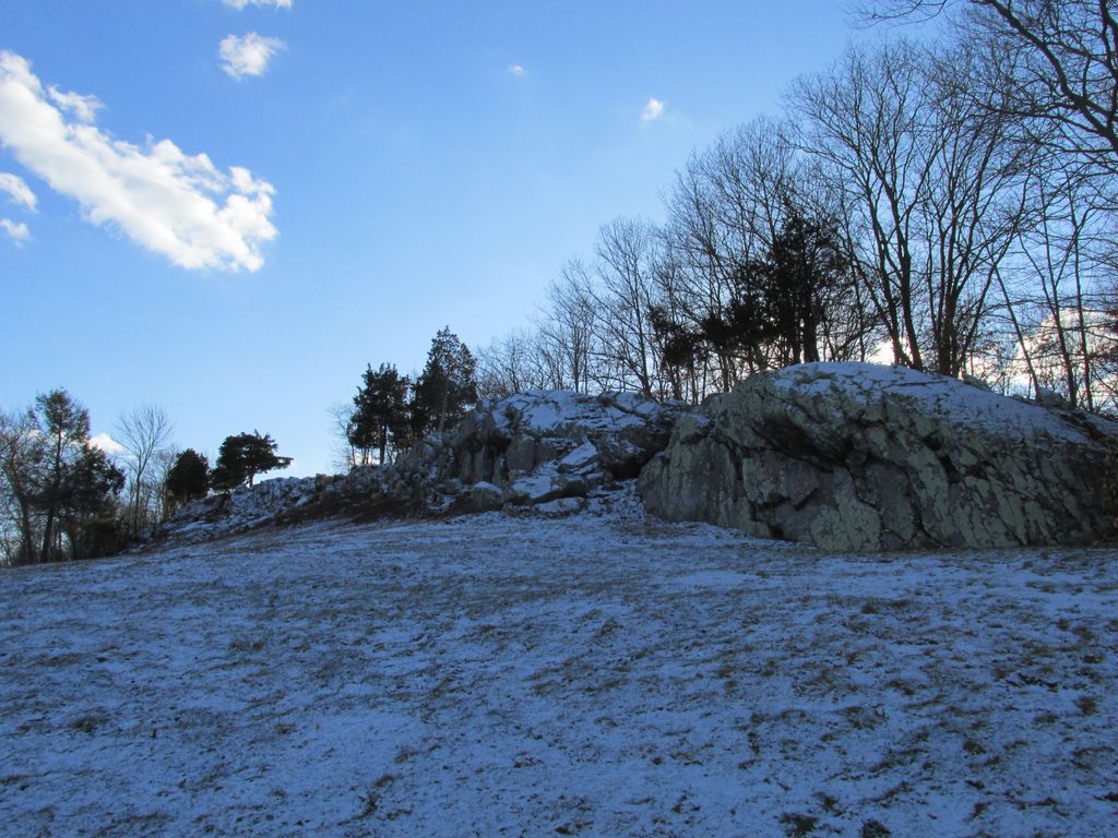
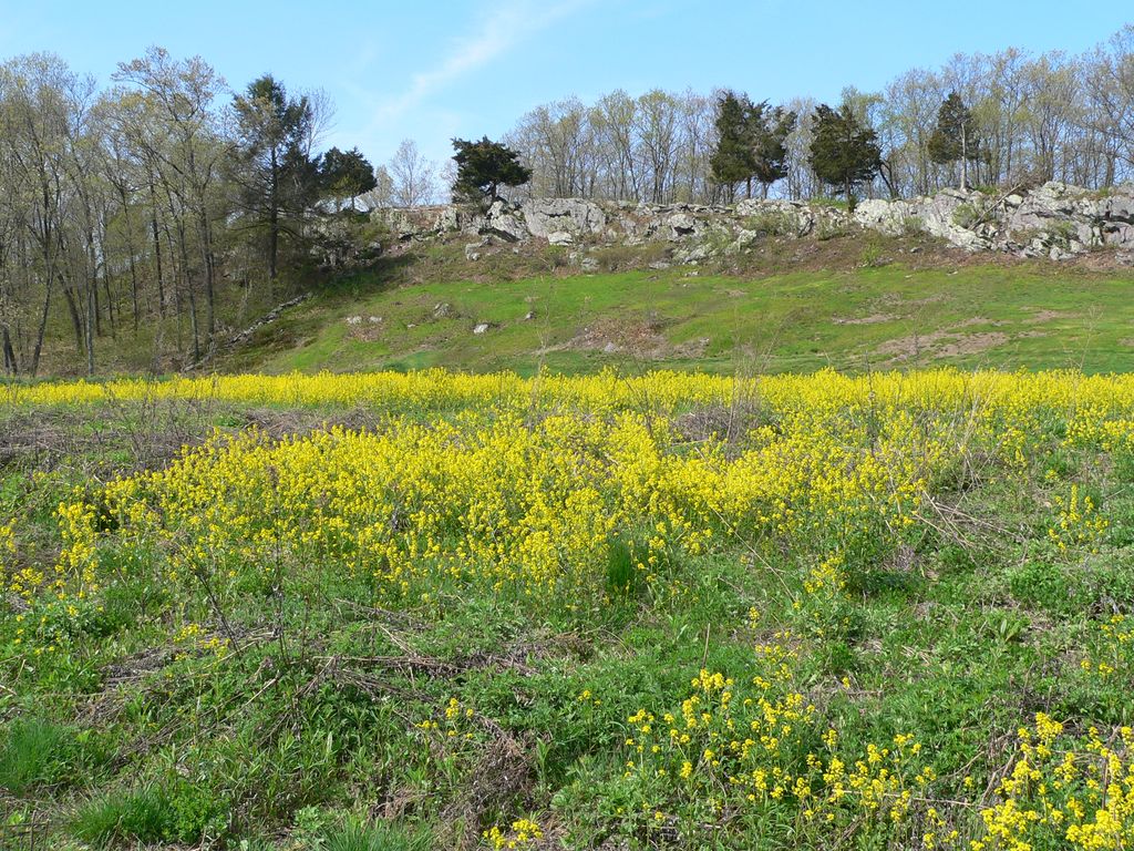
Signal Hill is a 150-acre (61 ha) open space preserve located in Canton, in the U.S. state of Massachusetts; it is centered on a 188-foot (57 m) rocky knoll by the same name. The property, acquired in 2005 by the land conservation non-profit organization The Trustees of Reservations, offers frontage on the Neponset River and views of Great Blue Hill and Downtown Boston from open ledges. The Signal Hill preserve also includes wetlands, open fields, and a car-top boating access point.
Signal Hill contains the Wamsutta archaeological site, discovered during construction of Interstate 95, which was a seasonal camp for Paleo-Indians radiocarbon dated by nearby charcoal remains to 12,140 before present, around the time of the last glacial retreat, when rapid melting of the Wisconsin continental glacier created the mile-wide channel through which today's Neponset River flows. At this time, Signal Hill was a peninsula extending into a large lake of glacial meltwater.
It is currently abutted by Interstate 95 as well as industrial and suburban land to the east, and river floodplain to the west. The preserve is open to non-motorized carry-in boating, hiking, picnicking, fishing, and similar pursuits. A trailhead for the 1.3 mile trail system is located on University Road in Canton.
We use GPS information embedded into the photo when it is available.
3D mountains overlay
Adjust mountain panorama to perfectly match your photos because recorded by camera photo position might be imprecise.
Move tool
Rotate tool
Zoom
More customization
Choose which peak labels should make into the final photo and what photo title should be.
Next
Photo Location
Satellitte
Flat map
Relief map
Latitude
Longitude
Altitude
OR
Latitude
°'''
Longitude
°'''
Apply
Register Peak
Peak Name
Latitude
Longitude
Altitude
Register
Teleport
PeakVisor
This 3D model of Sagarmatha National Park in Nepal was made using the PeakVisor app topographic data. The mobile app features higher precision models worldwide, more topographic details, and works offline. Download PeakVisor maps today.
Download OBJ model
PeakVisor
The download should start shortly. If you find it useful please consider supporting the PeakVisor app.
PeakVisor for iOS and Android
Be a superhero of outdoor navigation with state-of-the-art 3D maps and mountain identification in the palm of your hand!