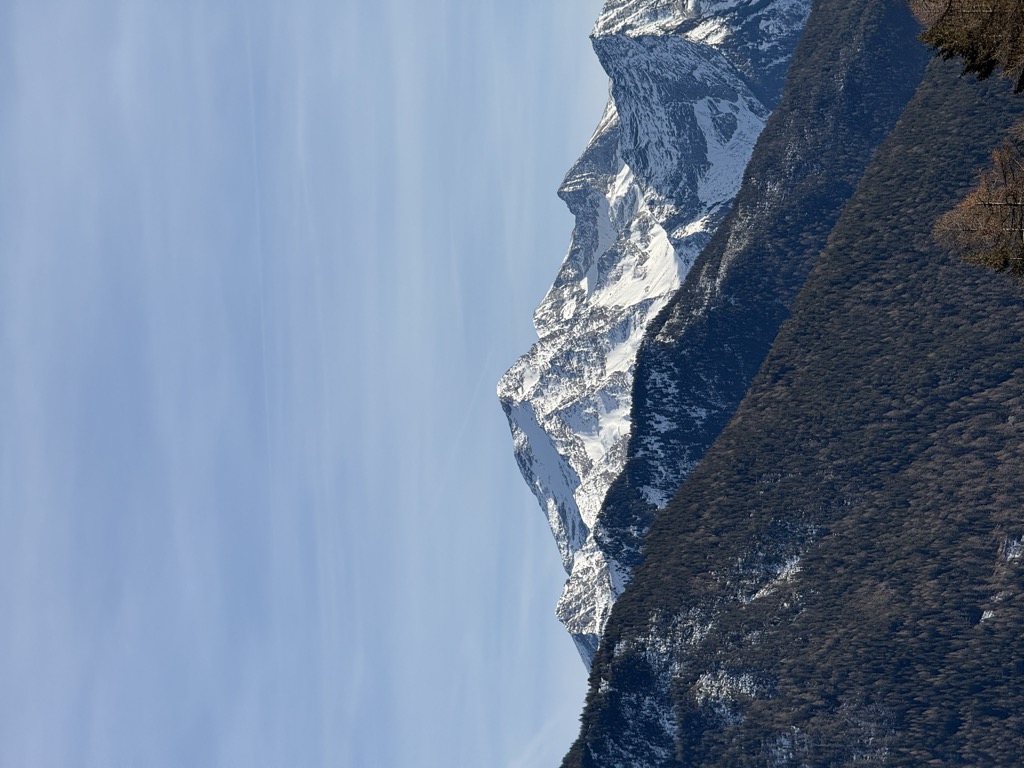
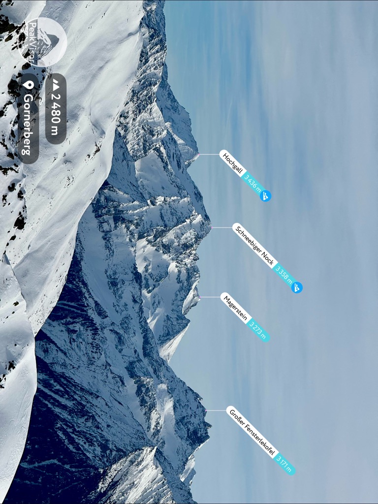
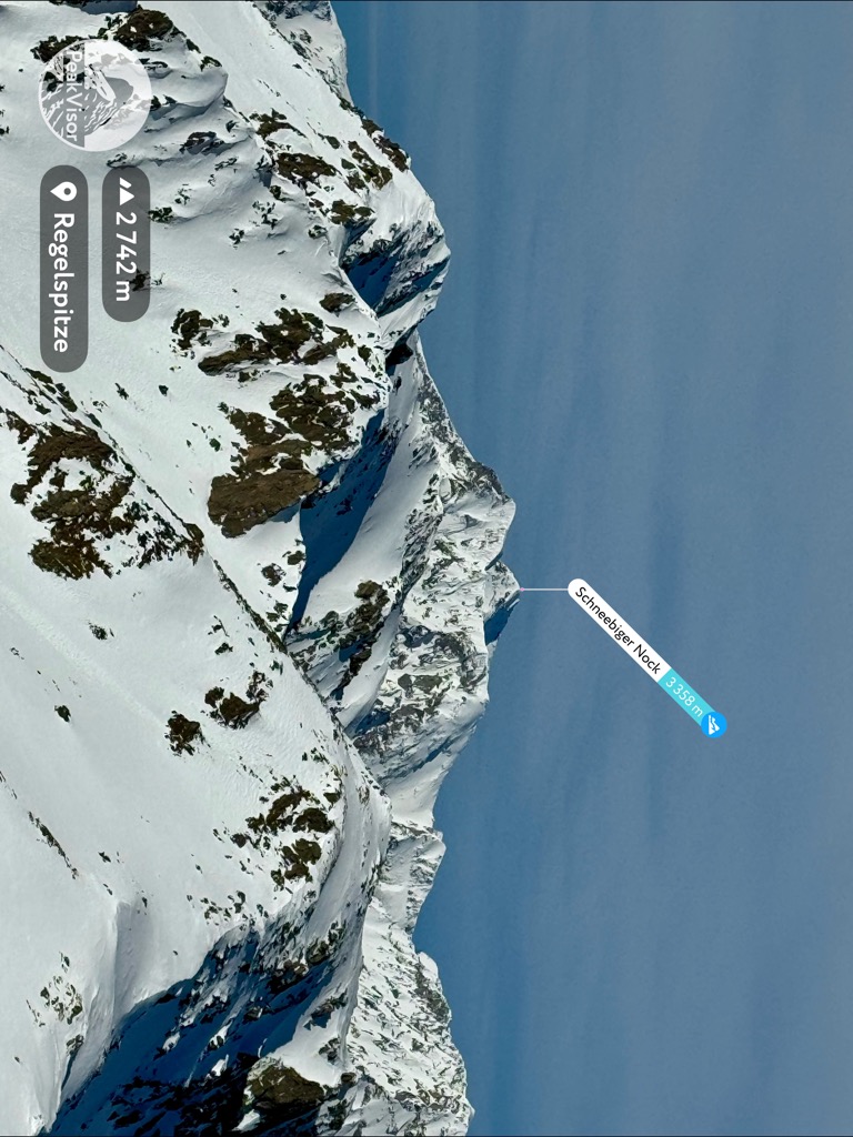
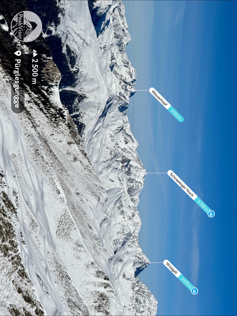
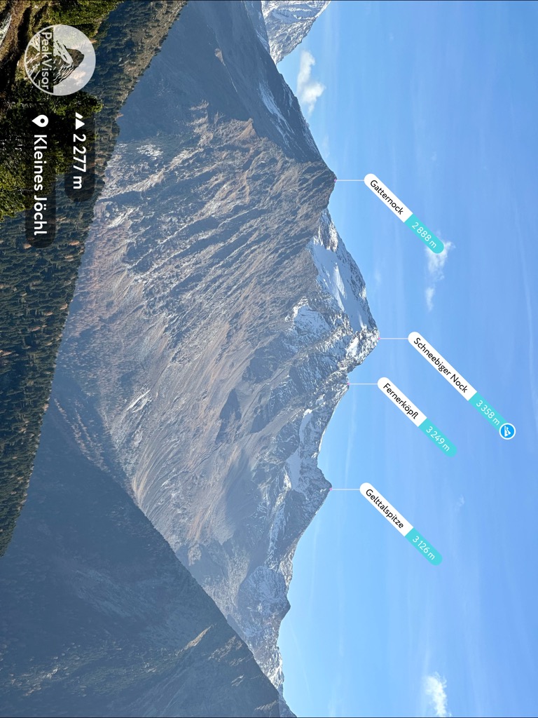
The Schneebiger Nock (Italian: Monte Nevoso), in old literature also called the Ruthnerhorn, is 3,358 metres high and, after the Hochgall, the second highest mountain of the Rieserferner Group, a range in the western part of the High Tauern. The mountain rises in the Italian province of South Tyrol in the Rieserferner-Ahrn Nature Park (Parco Naturale Vedrette di Ries-Aurina). It was first climbed on 6 October 1866 by Archduke Rainer Ferdinand of Austria, Count Heinrich Wurmbrand, and mountain guides, Georg Auer, Johann Oberarzbacher from Rein in Taufers and Georg Weiss, an innkeeper from St. Johann im Reintal. Today the Schneebige Nock may be reached from the Kasseler Hut (also Hochgall Hut) to the northeast or from the Rieserferner Hut to the south. Thanks to its prominent pyramidal shape and its distinct arêtes it is a frequently visited viewing summit.
There's an alpine trail (T4) leading to the summit.
The nearest mountain hut is Rieserfernerhütte Rif. Vedrette di Ries located 1 746m/5 729ft SSW of the summit.
By elevation Schneebiger Nock is
# 54 out of 3311 in the Western Tauern Alps # 3 out of 101 in the Rieserferner Group
By prominence Schneebiger Nock is
# 26 out of 3311 in the Western Tauern Alps # 65 out of 3872 in Trentino-Alto Adige/Südtirol # 38 out of 2178 in South Tyrol # 2 out of 101 in the Rieserferner Group
We use GPS information embedded into the photo when it is available.
3D mountains overlay
Adjust mountain panorama to perfectly match your photos because recorded by camera photo position might be imprecise.
Move tool
Rotate tool
Zoom
More customization
Choose which peak labels should make into the final photo and what photo title should be.
Next
Photo Location
Satellitte
Flat map
Relief map
Latitude
Longitude
Altitude
OR
Latitude
°'''
Longitude
°'''
Apply
Register Peak
Peak Name
Latitude
Longitude
Altitude
Register
Teleport
PeakVisor
This 3D model of Sagarmatha National Park in Nepal was made using the PeakVisor app topographic data. The mobile app features higher precision models worldwide, more topographic details, and works offline. Download PeakVisor maps today.
Download OBJ model
PeakVisor
The download should start shortly. If you find it useful please consider supporting the PeakVisor app.
PeakVisor for iOS and Android
Be a superhero of outdoor navigation with state-of-the-art 3D maps and mountain identification in the palm of your hand!