Punkatasset Hill is a hill in Concord, Massachusetts, in the United States. At 289 feet (88 m), it is one of the highest points in the town.
The hill was formerly called Broad-topped Hill by the native Indians and was cultivated and farmed from the 17th century on.
It was used as a vantage point by Concord Minutemen during the Battles of Lexington and Concord, in 1775.
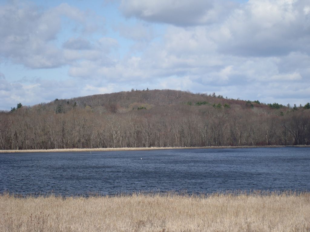
In the late 19th century, on clear days, Boston, Mount Wachusett, and Mount Monadnock were visible from the summit. In the early 20th century, Punkatasset Hill had Concord's only ski slope. There was never a ski lift, but ski jumping contests were held there in the 1930s. Today the slope is cleared, but not used for skiing.
In 1971 the land ceased to be private property, when it was sold to the town and designated as conservation land. Today, Punkatasset Hill and the adjacent Estabrook Woods are popular hiking and walking destinations.
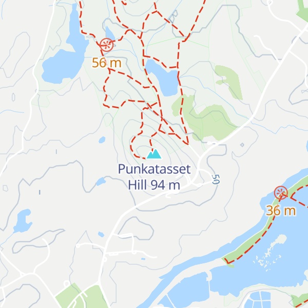
There's a trail called Connecting Trail (Blue) leading to the summit. Punkatasset Hill is one of the 2 peaks along the Punkatasset Estabrook Loop.
By elevation Punkatasset Hill is
# 1 out of 1 in Punkatasset
By prominence Punkatasset Hill is
# 77 out of 366 in Middlesex County # 1 out of 1 in Punkatasset
We use GPS information embedded into the photo when it is available.
3D mountains overlay
Adjust mountain panorama to perfectly match your photos because recorded by camera photo position might be imprecise.
Move tool
Rotate tool
Zoom
More customization
Choose which peak labels should make into the final photo and what photo title should be.
Next
Photo Location
Satellitte
Flat map
Relief map
Latitude
Longitude
Altitude
OR
Latitude
°'''
Longitude
°'''
Apply
Register Peak
Peak Name
Latitude
Longitude
Altitude
Register
Teleport
PeakVisor
This 3D model of Sagarmatha National Park in Nepal was made using the PeakVisor app topographic data. The mobile app features higher precision models worldwide, more topographic details, and works offline. Download PeakVisor maps today.
Download OBJ model
PeakVisor
The download should start shortly. If you find it useful please consider supporting the PeakVisor app.
PeakVisor for iOS and Android
Be a superhero of outdoor navigation with state-of-the-art 3D maps and mountain identification in the palm of your hand!