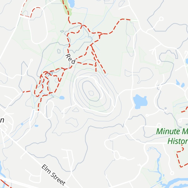
Annursnac Hill is located in Concord, Massachusetts. It is the highest point in the town at 361 ft. Early settlers herded swine near the base of the hill and referred to the area as the “hog pens.” Harvard University purchased land on the north side of the hill in 1949 for antenna research. 118 acres were bought by the Town of Concord in 1970. Part of the area was developed into private residences while a majority of the land north of the hill became conservation land.
There's a trail called Reservoir Driveway leading to the summit.
By elevation Annursnac Hill is
# 1 out of 1 in Northeast Correctional Center Land
By prominence Annursnac Hill is
# 1 out of 1 in Northeast Correctional Center Land # 25 out of 366 in Middlesex County
We use GPS information embedded into the photo when it is available.
3D mountains overlay
Adjust mountain panorama to perfectly match your photos because recorded by camera photo position might be imprecise.
Move tool
Rotate tool
Zoom
More customization
Choose which peak labels should make into the final photo and what photo title should be.
Next
Photo Location
Satellitte
Flat map
Relief map
Latitude
Longitude
Altitude
OR
Latitude
°'''
Longitude
°'''
Apply
Register Peak
Peak Name
Latitude
Longitude
Altitude
Register
Teleport
PeakVisor
This 3D model of Sagarmatha National Park in Nepal was made using the PeakVisor app topographic data. The mobile app features higher precision models worldwide, more topographic details, and works offline. Download PeakVisor maps today.
Download OBJ model
PeakVisor
The download should start shortly. If you find it useful please consider supporting the PeakVisor app.
PeakVisor for iOS and Android
Be a superhero of outdoor navigation with state-of-the-art 3D maps and mountain identification in the palm of your hand!