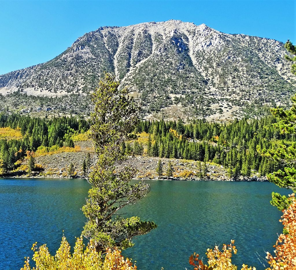
Pointless Peak, elevation 12,256 feet (3,736 m), is a mountain summit located in Inyo County of northern California, United States. Set one-half mile east of the crest of the Sierra Nevada mountain range, the peak is situated in the John Muir Wilderness on land managed by Inyo National Forest. It rises at the northern end of Little Lakes Valley, and is immediately west of Rock Creek Lake. Topographic relief is significant as the summit rises 2,550 feet (780 meters) above this lake in approximately one mile (1.6 km). Neighbors include Mount Starr, 2.5 miles to the south, and line parent Mount Huntington, 1.4 mile to the northwest. This landform is also known as "Mono Mesa", but neither name is official and it will remain unofficial so long as the USGS policy of not adopting new toponyms in designated wilderness areas remains in effect.
We use GPS information embedded into the photo when it is available.
3D mountains overlay
Adjust mountain panorama to perfectly match your photos because recorded by camera photo position might be imprecise.
Move tool
Rotate tool
Zoom
More customization
Choose which peak labels should make into the final photo and what photo title should be.
Next
Photo Location
Satellitte
Flat map
Relief map
Latitude
Longitude
Altitude
OR
Latitude
°'''
Longitude
°'''
Apply
Register Peak
Peak Name
Latitude
Longitude
Altitude
Register
Teleport
PeakVisor
This 3D model of Sagarmatha National Park in Nepal was made using the PeakVisor app topographic data. The mobile app features higher precision models worldwide, more topographic details, and works offline. Download PeakVisor maps today.
Download OBJ model
PeakVisor
The download should start shortly. If you find it useful please consider supporting the PeakVisor app.
PeakVisor for iOS and Android
Be a superhero of outdoor navigation with state-of-the-art 3D maps and mountain identification in the palm of your hand!