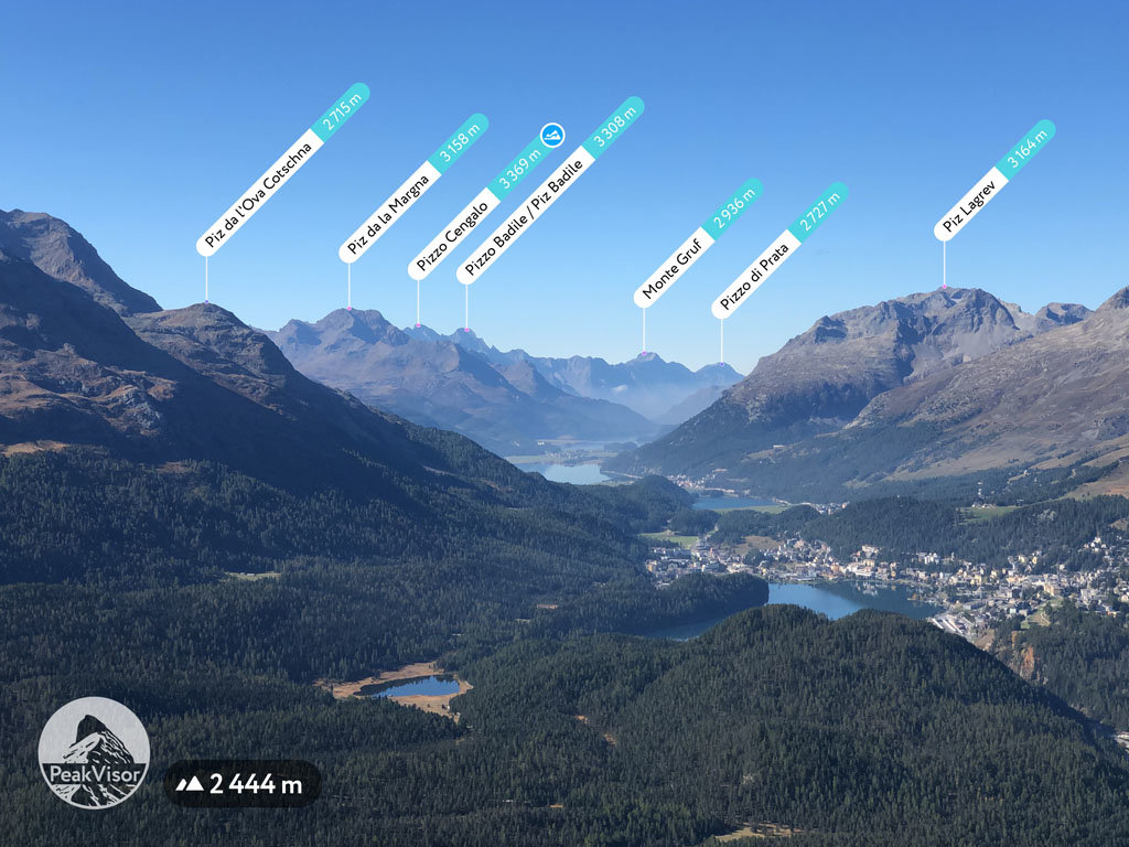
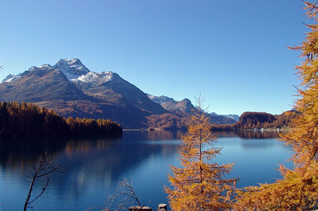
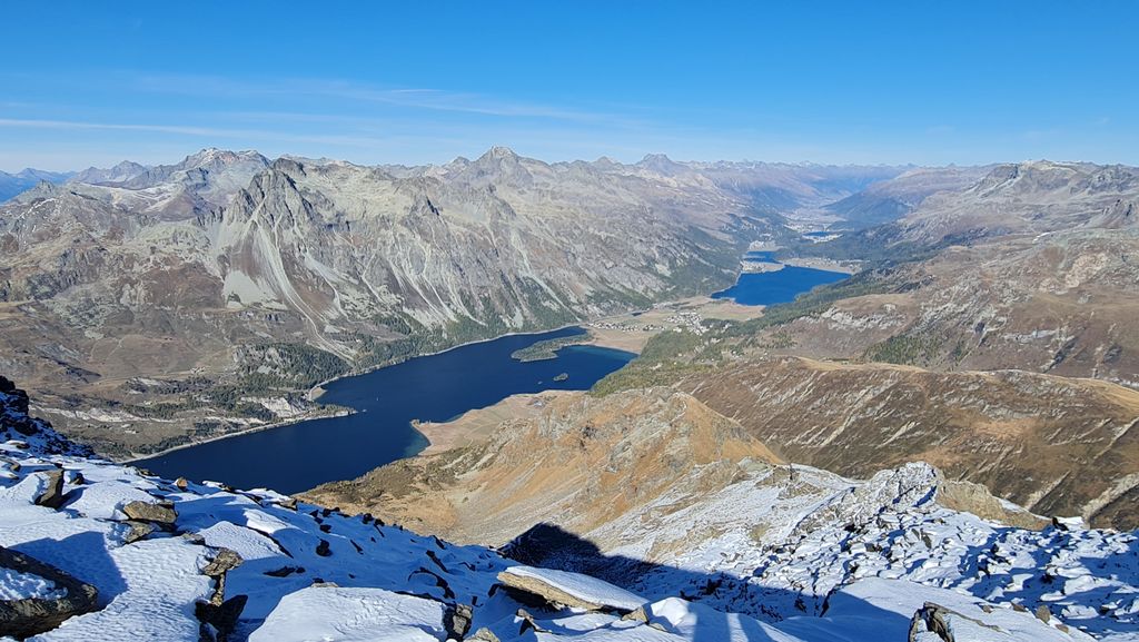
Piz da la Margna (3,158 m) is a mountain in the Bernina Range of the Alps, overlooking Lake Sils in the Swiss canton of Graubünden. It lies to the south-east of the Maloja Pass at the south-western end of the Engadin valley.
Ascents can be made from Maloja via the north ridge (F); a slightly easier route is via the Val Fedoz and the east flank. The south-east ridge from the Fuorcla da la Margna (AD, IV) was first climbed by Hans Frick, Christian Zippert and Hans Casper on 14 August 1918.
The first recorded ‘tourist’ ascent of the mountain was made by J. Caviezel, Krättli, Robbi and Zaun in June 1857.
There's a demanding alpine trail (T5) leading to the summit.
By elevation Piz da la Margna is
# 65 out of 221 in the Bernina Range
By prominence Piz da la Margna is
# 39 out of 419 in Maloja # 17 out of 221 in the Bernina Range
We use GPS information embedded into the photo when it is available.
3D mountains overlay
Adjust mountain panorama to perfectly match your photos because recorded by camera photo position might be imprecise.
Move tool
Rotate tool
Zoom
More customization
Choose which peak labels should make into the final photo and what photo title should be.
Next
Photo Location
Satellitte
Flat map
Relief map
Latitude
Longitude
Altitude
OR
Latitude
°'''
Longitude
°'''
Apply
Register Peak
Peak Name
Latitude
Longitude
Altitude
Register
Teleport
PeakVisor
This 3D model of Sagarmatha National Park in Nepal was made using the PeakVisor app topographic data. The mobile app features higher precision models worldwide, more topographic details, and works offline. Download PeakVisor maps today.
Download OBJ model
PeakVisor
The download should start shortly. If you find it useful please consider supporting the PeakVisor app.
PeakVisor for iOS and Android
Be a superhero of outdoor navigation with state-of-the-art 3D maps and mountain identification in the palm of your hand!