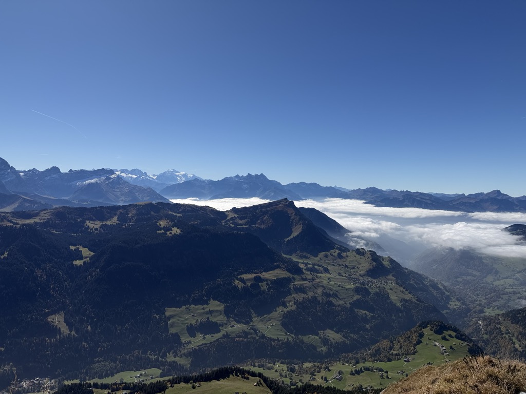
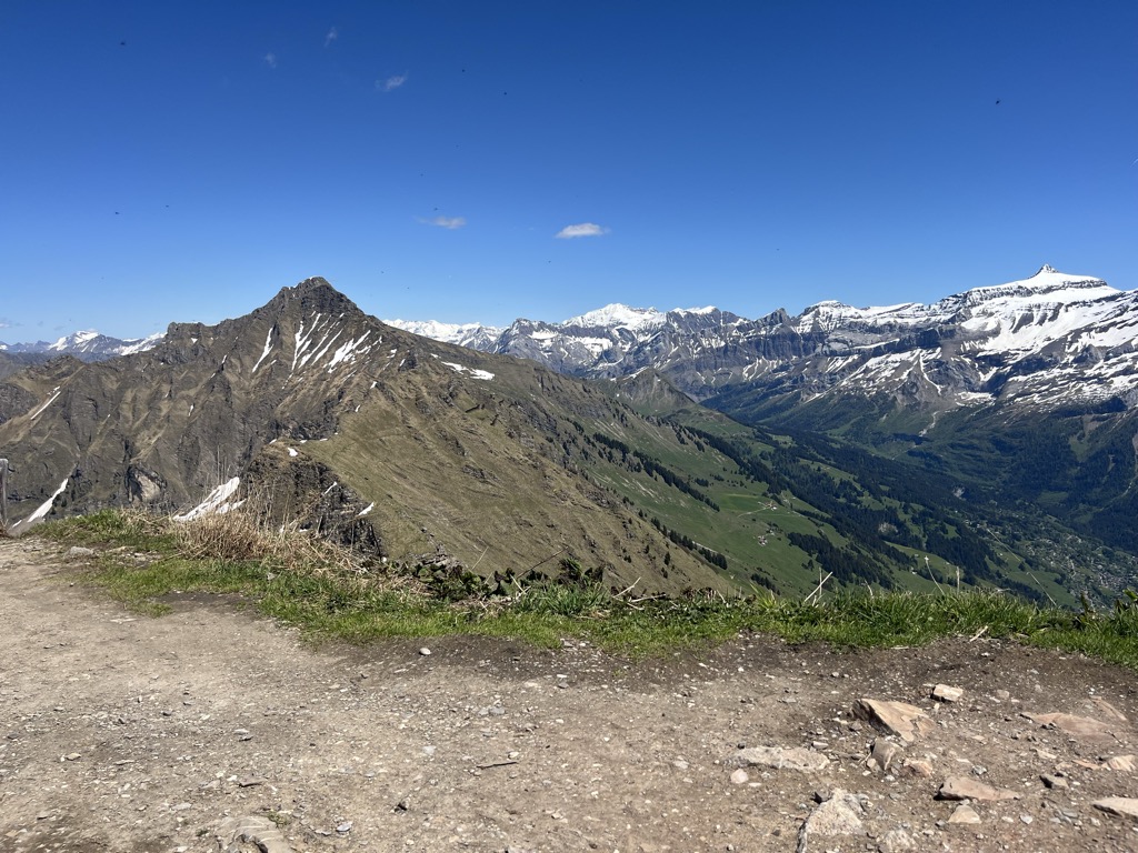
Pic Chaussy is a mountain of the Vaud Alps, overlooking Les Diablerets to the south. On its northern side lies the Lac Lioson, whilst the Col des Mosses pass flanks its western side. To the east, a ridgeline connects to the peaks of the Châtillon and Le Tarent. Its summit reaches an altitude of 2,351 metres (7,713 ft).
The peak lies on the border between the municipalities of Ormont-Dessous and Ormont-Dessus, both in the Swiss canton of Vaud.
There's a hiking trail (T2) leading to the summit.
By elevation Pic Chaussy is
# 49 out of 387 in Vaud # 11 out of 172 in Gruyère Pays-d'Enhaut Regional Nature Park # 44 out of 134 in District d'Aigle
By prominence Pic Chaussy is
# 78 out of 387 in Vaud # 63 out of 172 in Gruyère Pays-d'Enhaut Regional Nature Park # 29 out of 134 in District d'Aigle
We use GPS information embedded into the photo when it is available.
3D mountains overlay
Adjust mountain panorama to perfectly match your photos because recorded by camera photo position might be imprecise.
Move tool
Rotate tool
Zoom
More customization
Choose which peak labels should make into the final photo and what photo title should be.
Next
Photo Location
Satellitte
Flat map
Relief map
Latitude
Longitude
Altitude
OR
Latitude
°'''
Longitude
°'''
Apply
Register Peak
Peak Name
Latitude
Longitude
Altitude
Register
Teleport
PeakVisor
This 3D model of Sagarmatha National Park in Nepal was made using the PeakVisor app topographic data. The mobile app features higher precision models worldwide, more topographic details, and works offline. Download PeakVisor maps today.
Download OBJ model
PeakVisor
The download should start shortly. If you find it useful please consider supporting the PeakVisor app.
PeakVisor for iOS and Android
Be a superhero of outdoor navigation with state-of-the-art 3D maps and mountain identification in the palm of your hand!


.jpg)
.jpg)
.jpg)
.jpg)
.jpg)
.jpg)
.jpg)
.jpg)


