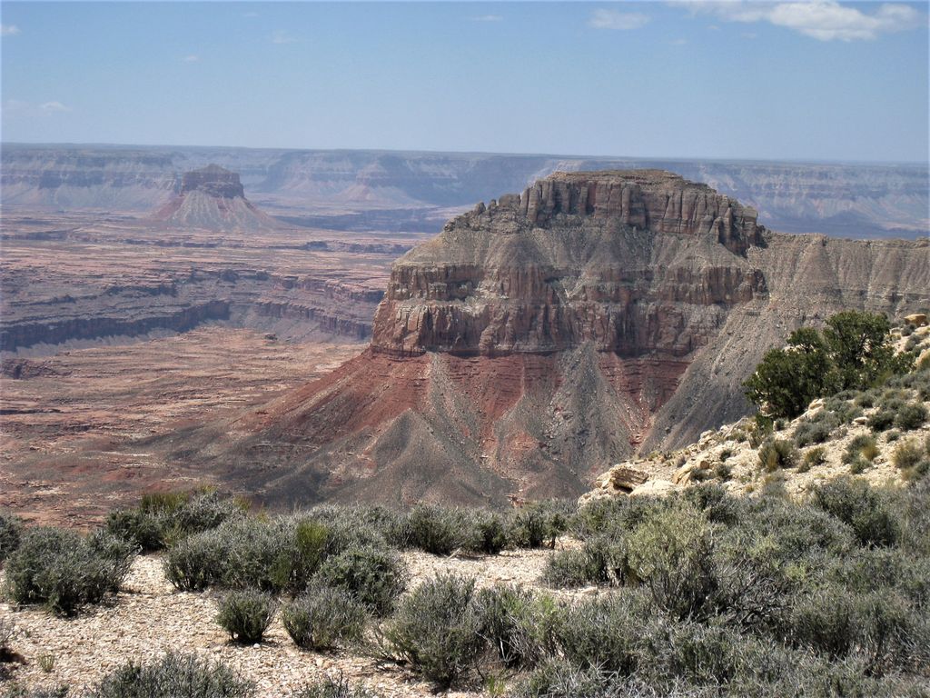
Paguekwash Point is a 5,663-foot (1,726 m)-elevation summit located in western Grand Canyon, in Mohave County of northern Arizona, United States. It is located on the North Rim, about 4.5 miles northwest of Mount Sinyella and across the Colorado River. An excursion of the west-flowing Colorado is ~1.0 mile east, and also ~1.5 miles west. Kanab Point lies about 2.0 miles northwest. Paguekwash Point is in an arid section of the Grand Canyon, with the landform virtually devoid of vegetation.
By elevation Paguekwash Point is
# 99 out of 296 in Mohave County # 30 out of 54 in the Unikaret Plateau
By prominence Paguekwash Point is
# 98 out of 280 in Grand Canyon National Park # 20 out of 54 in the Unikaret Plateau
We use GPS information embedded into the photo when it is available.
3D mountains overlay
Adjust mountain panorama to perfectly match your photos because recorded by camera photo position might be imprecise.
Move tool
Rotate tool
Zoom
More customization
Choose which peak labels should make into the final photo and what photo title should be.
Next
Photo Location
Satellitte
Flat map
Relief map
Latitude
Longitude
Altitude
OR
Latitude
°'''
Longitude
°'''
Apply
Register Peak
Peak Name
Latitude
Longitude
Altitude
Register
Teleport
PeakVisor
This 3D model of Sagarmatha National Park in Nepal was made using the PeakVisor app topographic data. The mobile app features higher precision models worldwide, more topographic details, and works offline. Download PeakVisor maps today.
Download OBJ model
PeakVisor
The download should start shortly. If you find it useful please consider supporting the PeakVisor app.
PeakVisor for iOS and Android
Be a superhero of outdoor navigation with state-of-the-art 3D maps and mountain identification in the palm of your hand!