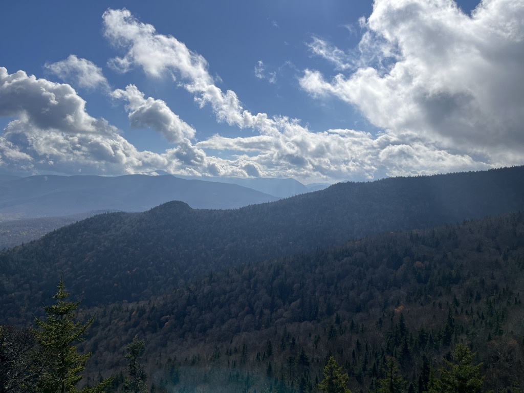
Owl's Head, or Owlshead, is a 3,258-foot (993 m) peak of Cherry Mountain, in Carroll, New Hampshire, United States, and (at least since 2001) the White Mountain National Forest (WMNF). The lower reaches of the mountain also extend northward into the town of Jefferson.
It is known both as the namesake of the nearby Owl's Head Highway, and as a hiking destination on the Owl's Head Trail.
In 2005 the Trust for Public Land (TPL) acquired private land including about three-quarters of the trail, and a road easement that could provide access in place of the part of the trail lying on land that remains private. TPL at that time anticipated transferring its land to the U.S. Forest Service in the following year, for inclusion in the WMNF.
There's a trail called Owl's Head Trail leading to the summit.
We use GPS information embedded into the photo when it is available.
3D mountains overlay
Adjust mountain panorama to perfectly match your photos because recorded by camera photo position might be imprecise.
Move tool
Rotate tool
Zoom
More customization
Choose which peak labels should make into the final photo and what photo title should be.
Next
Photo Location
Satellitte
Flat map
Relief map
Latitude
Longitude
Altitude
OR
Latitude
°'''
Longitude
°'''
Apply
Register Peak
Peak Name
Latitude
Longitude
Altitude
Register
Teleport
PeakVisor
This 3D model of Sagarmatha National Park in Nepal was made using the PeakVisor app topographic data. The mobile app features higher precision models worldwide, more topographic details, and works offline. Download PeakVisor maps today.
Download OBJ model
PeakVisor
The download should start shortly. If you find it useful please consider supporting the PeakVisor app.
PeakVisor for iOS and Android
Be a superhero of outdoor navigation with state-of-the-art 3D maps and mountain identification in the palm of your hand!