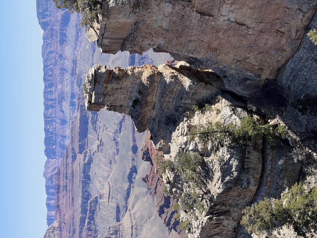
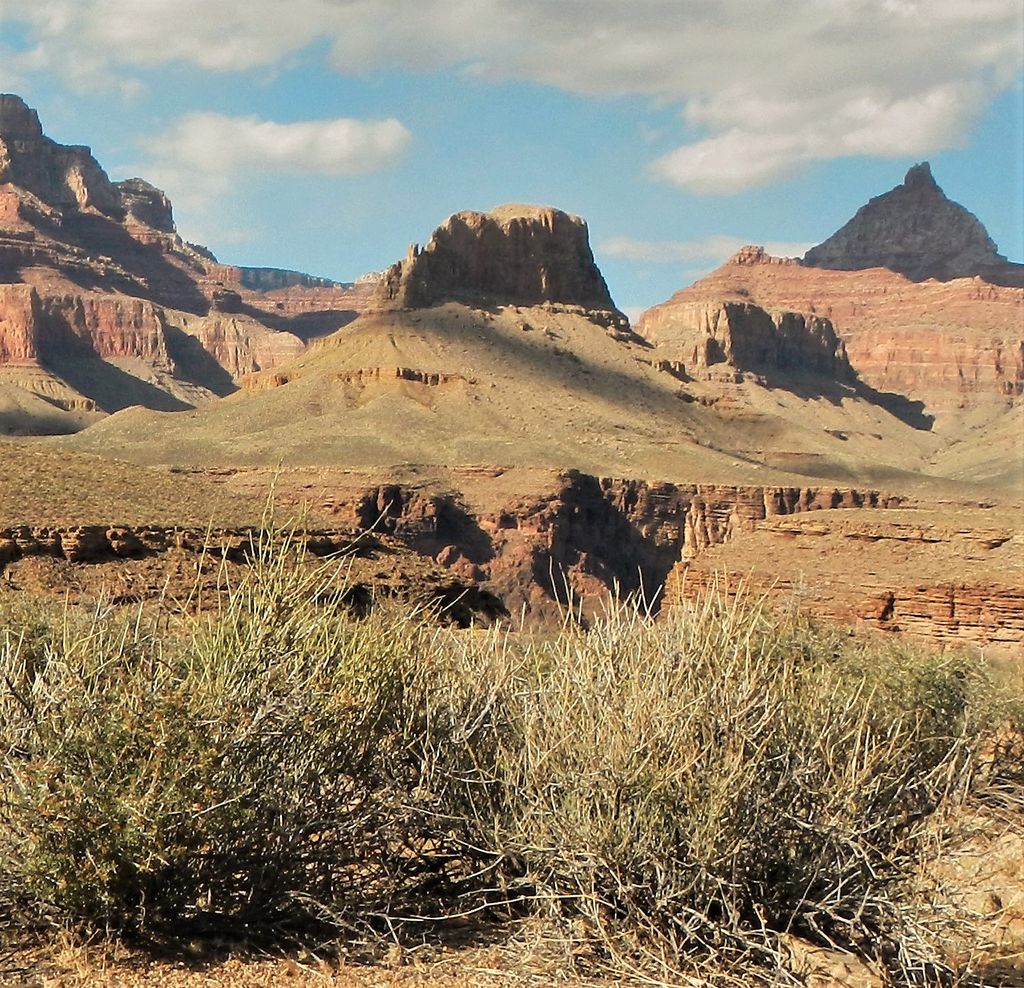
Newberry Butte is a 5,105-foot-elevation (1,556-meter) summit located in the Grand Canyon, in Coconino County of northern Arizona, US. It is situated 4.5 miles north of the South Rim's Grandview Point, three miles southwest of Vishnu Temple, and 2.5 miles south of Wotans Throne. Topographic relief is significant as it rises over 2,500 feet (760 meters) above the Colorado River and Granite Gorge in one mile. According to the Köppen climate classification system, Newberry Butte is located in a Cold semi-arid climate zone.
By prominence Newberry Butte is
# 47 out of 280 in Grand Canyon National Park # 36 out of 203 in the Kaibab Plateau
We use GPS information embedded into the photo when it is available.
3D mountains overlay
Adjust mountain panorama to perfectly match your photos because recorded by camera photo position might be imprecise.
Move tool
Rotate tool
Zoom
More customization
Choose which peak labels should make into the final photo and what photo title should be.
Next
Photo Location
Satellitte
Flat map
Relief map
Latitude
Longitude
Altitude
OR
Latitude
°'''
Longitude
°'''
Apply
Register Peak
Peak Name
Latitude
Longitude
Altitude
Register
Teleport
PeakVisor
This 3D model of Sagarmatha National Park in Nepal was made using the PeakVisor app topographic data. The mobile app features higher precision models worldwide, more topographic details, and works offline. Download PeakVisor maps today.
Download OBJ model
PeakVisor
The download should start shortly. If you find it useful please consider supporting the PeakVisor app.
PeakVisor for iOS and Android
Be a superhero of outdoor navigation with state-of-the-art 3D maps and mountain identification in the palm of your hand!