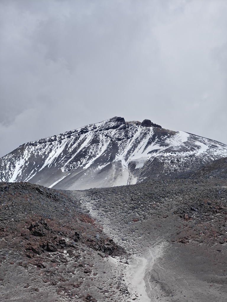
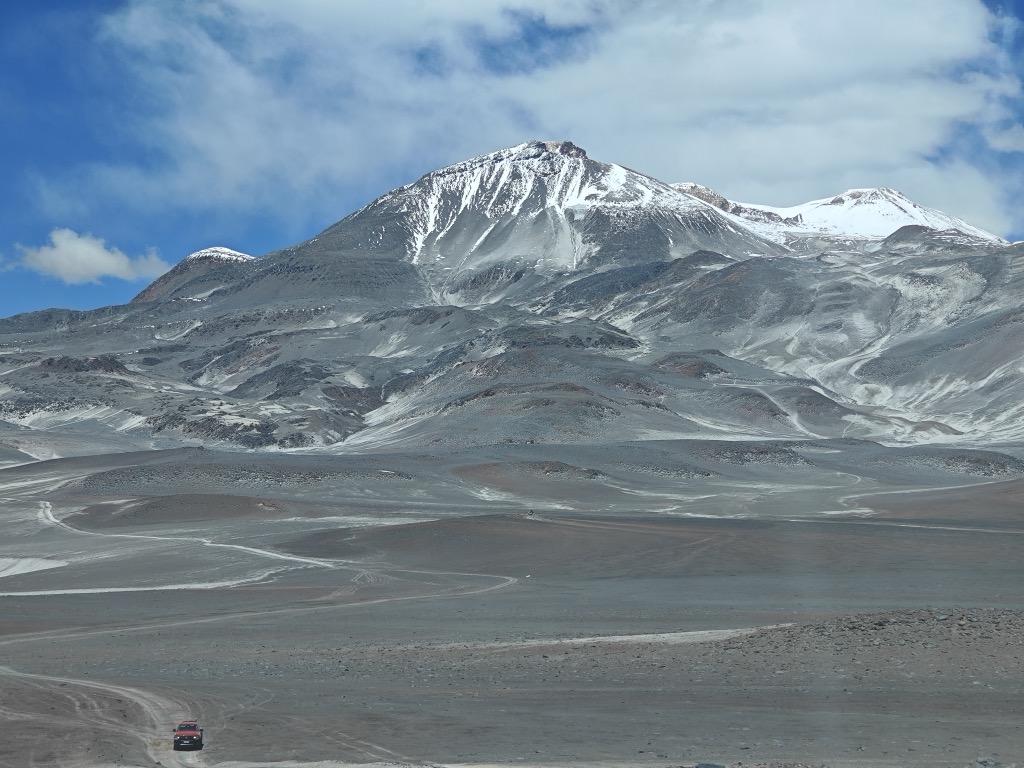
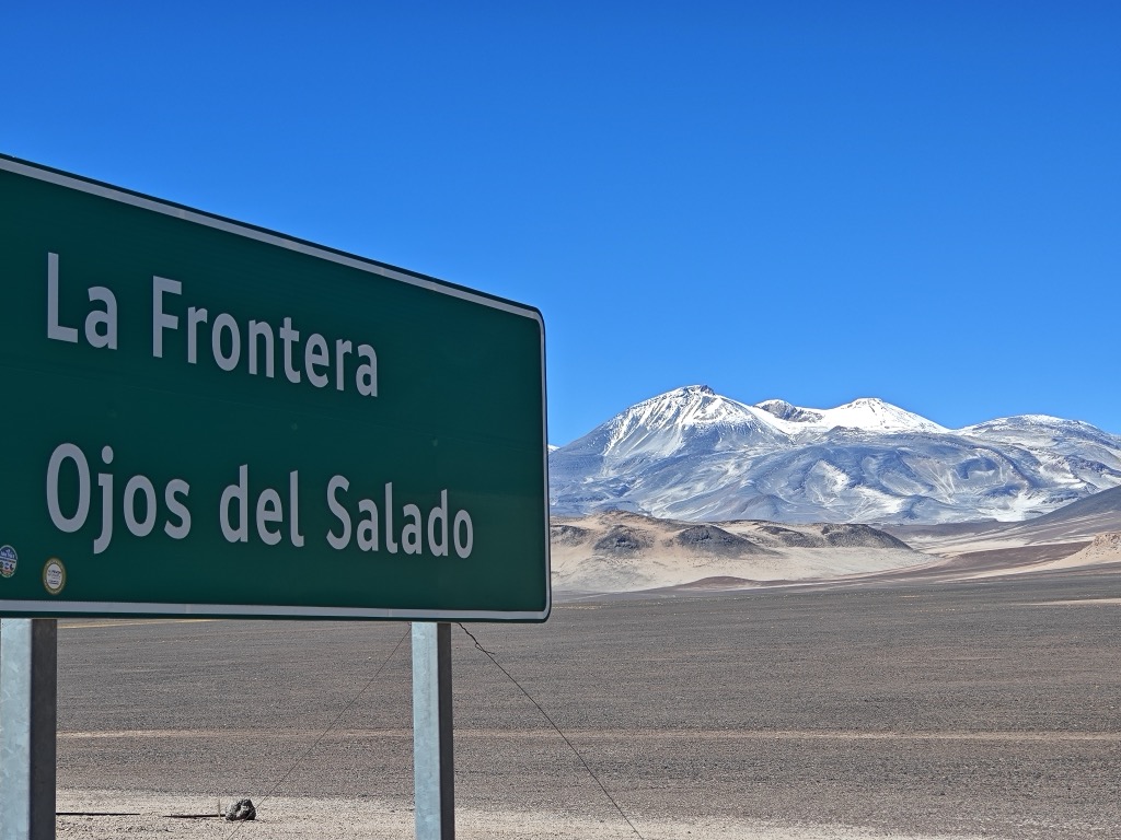
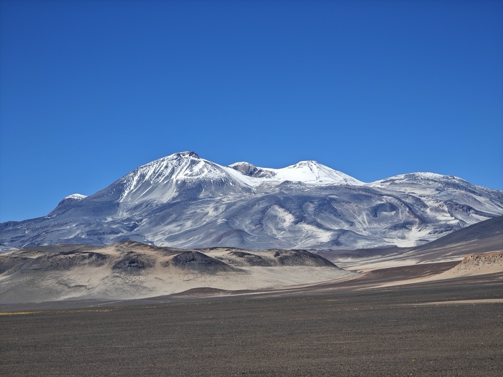
Nevado Ojos del Salado is a dormant complex volcano in the Andes on the Argentina–Chile border. It is the highest volcano on Earth and the highest peak in Chile. The upper reaches of Ojos del Salado consist of several overlapping lava domes, lava flows and volcanic craters, with sparse ice cover. The complex extends over an area of 70–160 square kilometres (27–62 sq mi) and its highest summit reaches an altitude of 6,893 metres (22,615 ft) above sea level. Numerous other volcanoes rise around Ojos del Salado.
Being close to the Arid Diagonal of South America, the mountain has extremely dry conditions, which prevent the formation of substantial glaciers and a permanent snow cover. Despite the arid climate, there is a permanent crater lake about 100 m (330 ft) in diameter at an elevation of 6,480 metres (21,260 ft)-6,500 metres (21,300 ft) within the summit crater and east of the main summit. This is the highest lake of any kind in the world. Owing to its altitude and the desiccated climate, the mountain lacks vegetation.
Ojos del Salado was volcanically active during the Pleistocene and Holocene, during which it mainly produced lava flows. Activity was in two phases and a depression or caldera formed in the course of its growth. The volcano was also impacted by eruptions of its neighbour to the west, Nevado Tres Cruces. The last eruption occurred around 750 CE; steam emissions observed in November 1993 may have constituted another eruptive event.
An international highway between Argentina and Chile crosses north of the mountain. Ojos del Salado can be ascended from both countries; the first ascent was made in 1937 by Jan Alfred Szczepański and Justyn Wojsznis, members of a Polish expedition in the Andes. During the middle of the 20th century there was a debate on whether Ojos del Salado or Aconcagua was the highest mountain in South America which was eventually resolved in favour of Aconcagua.
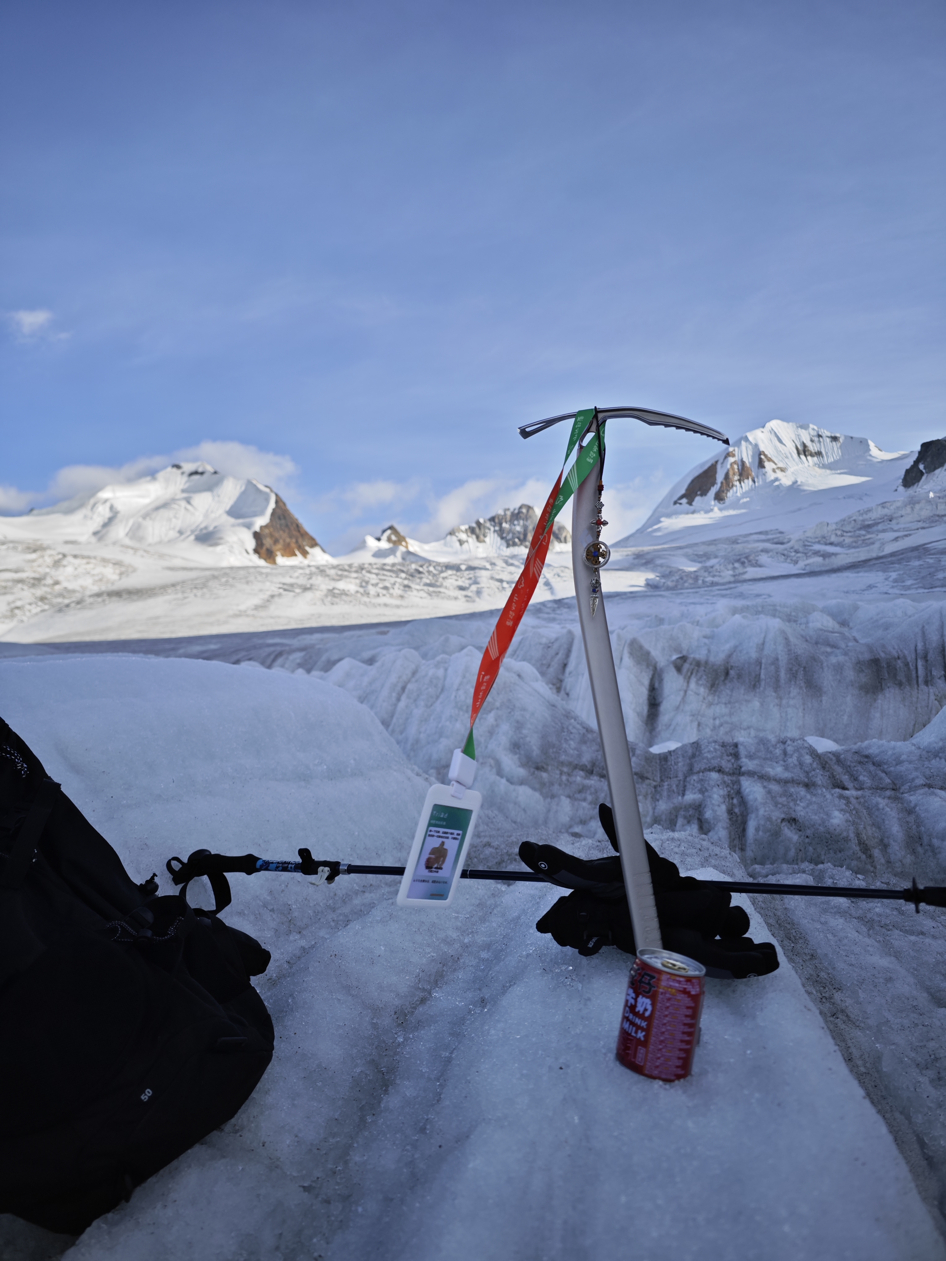
There's an alpine trail (T4) leading to the summit.
By elevation Nevado Ojos del Salado is
# 1 out of 500 in Catamarca # 1 out of 450 in Provincia de Copiapó # 1 out of 10580 in Chile # 1 out of 935 in Región de Atacama # 3 out of 8452 in Argentina # 3 out of 16361 in the Andes (Chile, Argentina)
By prominence Nevado Ojos del Salado is
# 1 out of 500 in Catamarca # 1 out of 450 in Provincia de Copiapó # 2 out of 10580 in Chile # 1 out of 935 in Región de Atacama # 2 out of 8452 in Argentina # 3 out of 16361 in the Andes (Chile, Argentina)
We use GPS information embedded into the photo when it is available.
3D mountains overlay
Adjust mountain panorama to perfectly match your photos because recorded by camera photo position might be imprecise.
Move tool
Rotate tool
Zoom
More customization
Choose which peak labels should make into the final photo and what photo title should be.
Next
Photo Location
Satellitte
Flat map
Relief map
Latitude
Longitude
Altitude
OR
Latitude
°'''
Longitude
°'''
Apply
Register Peak
Peak Name
Latitude
Longitude
Altitude
Register
Teleport
PeakVisor
This 3D model of Sagarmatha National Park in Nepal was made using the PeakVisor app topographic data. The mobile app features higher precision models worldwide, more topographic details, and works offline. Download PeakVisor maps today.
Download OBJ model
PeakVisor
The download should start shortly. If you find it useful please consider supporting the PeakVisor app.
PeakVisor for iOS and Android
Be a superhero of outdoor navigation with state-of-the-art 3D maps and mountain identification in the palm of your hand!