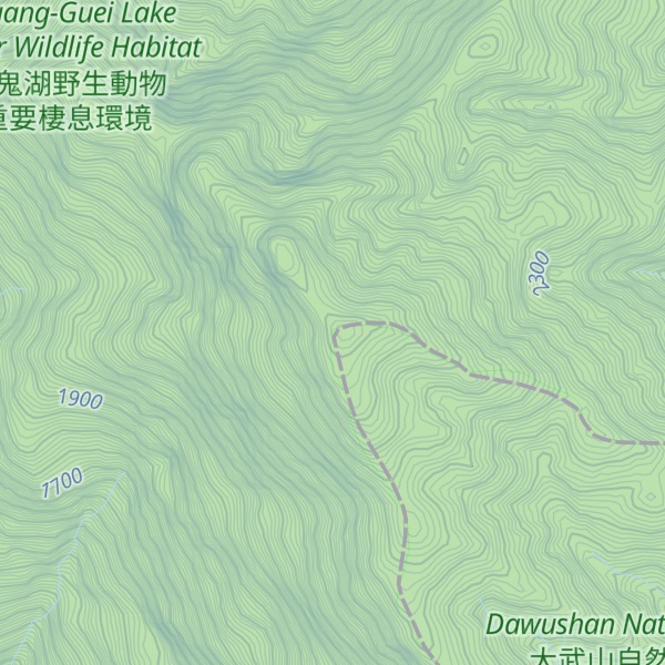
Mt. Wutou (2 730m/8 957ft a.s.l.) is a mountain in the Central Mountain Range in Taiwan. The prominence is 652m/2 139ft.
There's a trail leading to the summit.
By elevation Mt. Wutou is
# 4 out of 289 in Pingtung County # 41 out of 394 in Taitung County # 4 out of 46 in 大武山自然保留區 # 4 out of 55 in 雙鬼湖野生動物重要棲息環境
By prominence Mt. Wutou is
# 28 out of 4492 in the Taiwan Mountains # 3 out of 289 in Pingtung County # 6 out of 394 in Taitung County # 22 out of 2855 in Taiwan Province # 28 out of 4586 in Taiwan # 2 out of 46 in 大武山自然保留區 # 2 out of 55 in 雙鬼湖野生動物重要棲息環境 # 14 out of 1249 in the Central Mountain Range
We use GPS information embedded into the photo when it is available.
3D mountains overlay
Adjust mountain panorama to perfectly match your photos because recorded by camera photo position might be imprecise.
Move tool
Rotate tool
Zoom
More customization
Choose which peak labels should make into the final photo and what photo title should be.
Next
Photo Location
Satellitte
Flat map
Relief map
Latitude
Longitude
Altitude
OR
Latitude
°'''
Longitude
°'''
Apply
Register Peak
Peak Name
Latitude
Longitude
Altitude
Register
Teleport
PeakVisor
This 3D model of Sagarmatha National Park in Nepal was made using the PeakVisor app topographic data. The mobile app features higher precision models worldwide, more topographic details, and works offline. Download PeakVisor maps today.
Download OBJ model
PeakVisor
The download should start shortly. If you find it useful please consider supporting the PeakVisor app.
PeakVisor for iOS and Android
Be a superhero of outdoor navigation with state-of-the-art 3D maps and mountain identification in the palm of your hand!