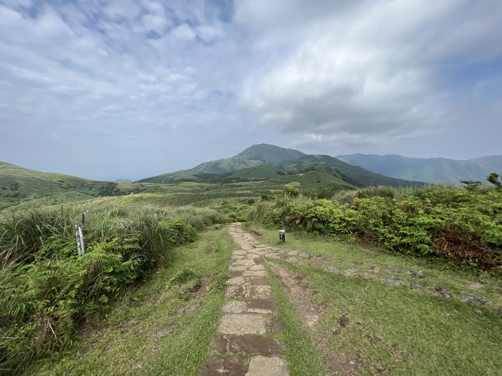
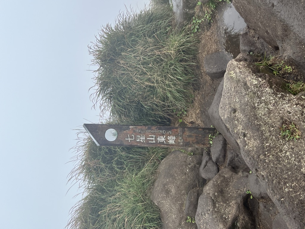
Mt. Qingtiangang East Peak (791m/2 595ft a.s.l.) is a mountain in Taiwan. The prominence is 31m/102ft.
There's a hiking trail (T1) called 頂山石梯嶺步道 leading to the summit. Mt. Qingtiangang East Peak is one of the 67 peaks along the multi-day Taipei Skyline.
By elevation Mt. Qingtiangang East Peak is
# 35 out of 236 in Taipei # 52 out of 98 in Yangmingshan National Park # 2 out of 4 in 大油坑與金包里大路史蹟保存區 # 16 out of 31 in 七星山自然文化景觀核心特別景觀區 # 6 out of 8 in 磺嘴山生態保護區
By prominence Mt. Qingtiangang East Peak is
# 75 out of 236 in Taipei # 34 out of 98 in Yangmingshan National Park # 2 out of 4 in 大油坑與金包里大路史蹟保存區 # 8 out of 31 in 七星山自然文化景觀核心特別景觀區 # 5 out of 8 in 磺嘴山生態保護區
We use GPS information embedded into the photo when it is available.
3D mountains overlay
Adjust mountain panorama to perfectly match your photos because recorded by camera photo position might be imprecise.
Move tool
Rotate tool
Zoom
More customization
Choose which peak labels should make into the final photo and what photo title should be.
Next
Photo Location
Satellitte
Flat map
Relief map
Latitude
Longitude
Altitude
OR
Latitude
°'''
Longitude
°'''
Apply
Register Peak
Peak Name
Latitude
Longitude
Altitude
Register
Teleport
PeakVisor
This 3D model of Sagarmatha National Park in Nepal was made using the PeakVisor app topographic data. The mobile app features higher precision models worldwide, more topographic details, and works offline. Download PeakVisor maps today.
Download OBJ model
PeakVisor
The download should start shortly. If you find it useful please consider supporting the PeakVisor app.
PeakVisor for iOS and Android
Be a superhero of outdoor navigation with state-of-the-art 3D maps and mountain identification in the palm of your hand!