Mount Snow (previously known as Mount Pisgah) is a mountain and ski resort in southern Vermont located in the Green Mountains. It is Vermont's southernmost big mountain, and therefore, closest to many Northeast metropolitan areas.
In September 2019, Mount Snow joined Vail Resorts' portfolio of 37 resorts and its Epic Pass, along with all other 16 resorts owned by Peak Resorts
Mount Snow is home to Carinthia Parks, which debuted in the 2008–2009 season. Carinthia is home to ten terrain parks, with both natural and man-made features and a superpipe. Mount Snow was co-host of the first Extreme Games in 1995 and host of the X Games in 2000 and 2001. Carinthia at Mount Snow claimed home to the second stop of the first annual winter Dew Tour as well as many other events including the Freeski Open and Carinthia Classic.
In the summer of 2011, Mount Snow installed a brand new Leitner-Poma high-speed detachable six-pack bubble chair. This lift transports skiers to the top of the mountain in seven minutes. The bubble shields skiers and riders from wind and snow and keeps them warm. If it is a warm skiing day riders can choose to leave the bubble up. As of 2022, Mount Snow has two high-speed detachable lifts from the base to the 3600-foot summit and a total of six high-speed detachable chairlifts, one leaving from the Carinthia Base Area, one leaving from the Sunbrook base area and four leaving from the Main Base Area.
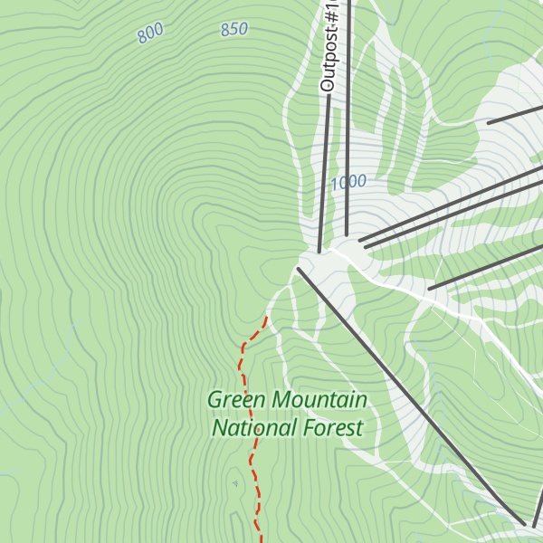
There's a trail leading to the summit.
By elevation Mount Snow is
# 13 out of 84 in Green Mountain National Forest # 38 out of 1311 in Vermont # 2 out of 101 in Windham County # 34 out of 683 in the Green Mountains
By prominence Mount Snow is
# 6 out of 84 in Green Mountain National Forest # 34 out of 1311 in Vermont # 2 out of 101 in Windham County # 21 out of 683 in the Green Mountains
We use GPS information embedded into the photo when it is available.
3D mountains overlay
Adjust mountain panorama to perfectly match your photos because recorded by camera photo position might be imprecise.
Move tool
Rotate tool
Zoom
More customization
Choose which peak labels should make into the final photo and what photo title should be.
Next
Photo Location
Satellitte
Flat map
Relief map
Latitude
Longitude
Altitude
OR
Latitude
°'''
Longitude
°'''
Apply
Register Peak
Peak Name
Latitude
Longitude
Altitude
Register
Teleport
PeakVisor
This 3D model of Sagarmatha National Park in Nepal was made using the PeakVisor app topographic data. The mobile app features higher precision models worldwide, more topographic details, and works offline. Download PeakVisor maps today.
Download OBJ model
PeakVisor
The download should start shortly. If you find it useful please consider supporting the PeakVisor app.
PeakVisor for iOS and Android
Be a superhero of outdoor navigation with state-of-the-art 3D maps and mountain identification in the palm of your hand!