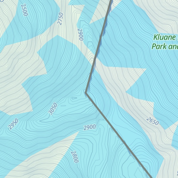
Mount Seattle is a 10,350-foot (3,150 m) peak in the Saint Elias Mountains of Alaska in the United States. It was named for the city of Seattle, home of the "camp hands" of a 19th-century National Geographic Society–United States Geological Survey scientific expedition to the Hubbard Glacier and Mount Saint Elias. It is called the "most prominent Alaskan coastal peak" and blocks sight of larger inland peaks, even Mount Logan nearly twice its height.
It was first ascended in May 1966 by Fred Beckey, Eric Bjornstad and four other climbers.
By elevation Mount Seattle is
# 19 out of 83 in Yakutat # 63 out of 1341 in Yukon # 50 out of 109 in Wrangell–St. Elias National Park # 57 out of 191 in Kluane National Park and Reserve
By prominence Mount Seattle is
# 52 out of 3806 in Alaska # 73 out of 27097 in Canada # 93 out of 91437 in USA # 8 out of 83 in Yakutat # 11 out of 1341 in Yukon # 14 out of 109 in Wrangell–St. Elias National Park # 10 out of 191 in Kluane National Park and Reserve # 13 out of 423 in the Saint Elias Mountains
We use GPS information embedded into the photo when it is available.
3D mountains overlay
Adjust mountain panorama to perfectly match your photos because recorded by camera photo position might be imprecise.
Move tool
Rotate tool
Zoom
More customization
Choose which peak labels should make into the final photo and what photo title should be.
Next
Photo Location
Satellitte
Flat map
Relief map
Latitude
Longitude
Altitude
OR
Latitude
°'''
Longitude
°'''
Apply
Register Peak
Peak Name
Latitude
Longitude
Altitude
Register
Teleport
PeakVisor
This 3D model of Sagarmatha National Park in Nepal was made using the PeakVisor app topographic data. The mobile app features higher precision models worldwide, more topographic details, and works offline. Download PeakVisor maps today.
Download OBJ model
PeakVisor
The download should start shortly. If you find it useful please consider supporting the PeakVisor app.
PeakVisor for iOS and Android
Be a superhero of outdoor navigation with state-of-the-art 3D maps and mountain identification in the palm of your hand!


.jpg)