Mount Price is a small stratovolcano in the Garibaldi Ranges of the Pacific Ranges in southwestern British Columbia, Canada. It has an elevation of 2,049 metres (6,722 feet) and rises above the surrounding landscape on the western side of Garibaldi Lake in New Westminster Land District. The mountain contains a number of subfeatures, including Clinker Peak on its western flank, which was the source of two thick lava flows between 15,000 and 8,000 years ago that ponded against glacial ice. These lava flows are structurally unstable, having produced large landslides as recently as the 1850s. A large provincial park surrounds Mount Price and other volcanoes in its vicinity. It lies within an ecological region that surrounds much of the Pacific Ranges.
Mount Price is associated with a small group of volcanoes called the Garibaldi Lake volcanic field. This forms part of the larger Garibaldi Volcanic Belt, a north−south trending volcanic zone that represents a portion of the Canadian Cascade Arc. Mount Price began its formation 1.2 million years ago and continued intermittently until sometime in the last 15,000 years. Although the mountain is not known to have been volcanically active for thousands of years, it could erupt again, which would potentially endanger the nearby populace. If this were to happen, relief efforts could be organized by teams such as the Interagency Volcanic Event Notification Plan who are prepared to notify people threatened by volcanic eruptions in Canada.
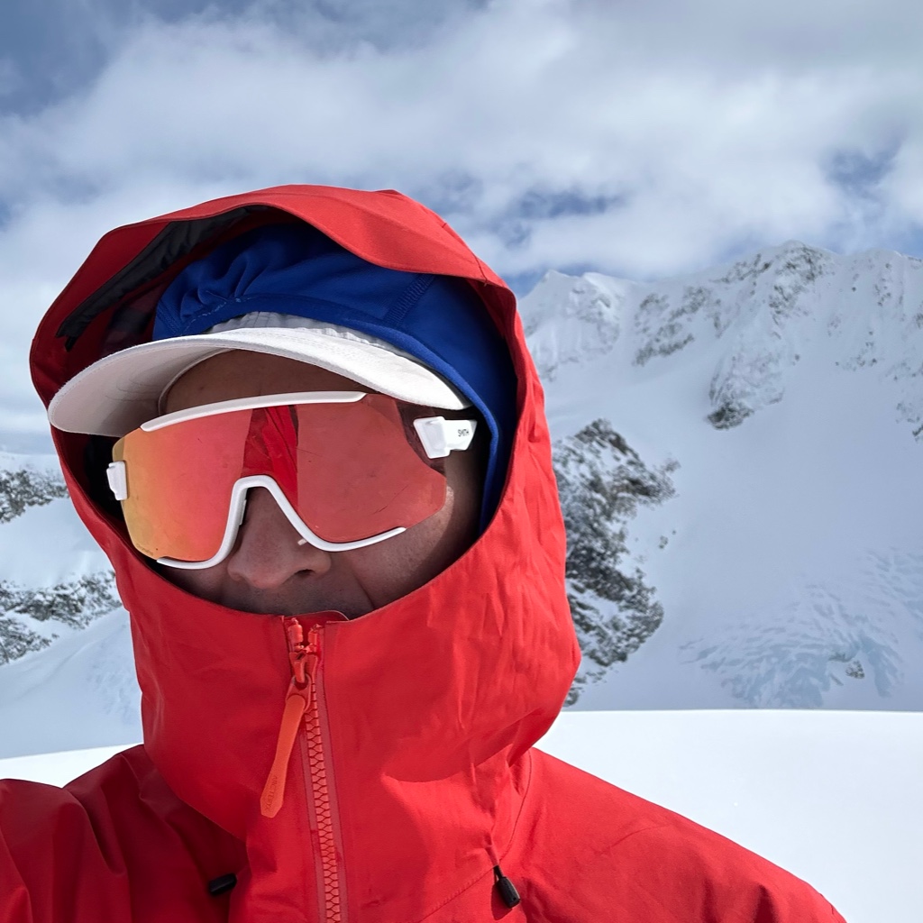
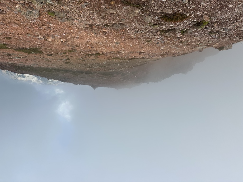
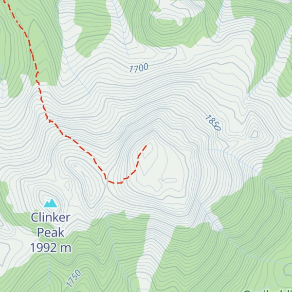
There's a hiking trail (T2) called Mount Price Trail leading to the summit.
By elevation Mount Price is
# 28 out of 42 in the Garibaldi Neve
By prominence Mount Price is
# 6 out of 42 in the Garibaldi Neve # 23 out of 134 in Garibaldi Provincial Park
We use GPS information embedded into the photo when it is available.
3D mountains overlay
Adjust mountain panorama to perfectly match your photos because recorded by camera photo position might be imprecise.
Move tool
Rotate tool
Zoom
More customization
Choose which peak labels should make into the final photo and what photo title should be.
Next
Photo Location
Satellitte
Flat map
Relief map
Latitude
Longitude
Altitude
OR
Latitude
°'''
Longitude
°'''
Apply
Register Peak
Peak Name
Latitude
Longitude
Altitude
Register
Teleport
PeakVisor
This 3D model of Sagarmatha National Park in Nepal was made using the PeakVisor app topographic data. The mobile app features higher precision models worldwide, more topographic details, and works offline. Download PeakVisor maps today.
Download OBJ model
PeakVisor
The download should start shortly. If you find it useful please consider supporting the PeakVisor app.
PeakVisor for iOS and Android
Be a superhero of outdoor navigation with state-of-the-art 3D maps and mountain identification in the palm of your hand!