Mount Frissell, 2,454 feet (748 m), which straddles the border of southwest Massachusetts and northwest Connecticut, is part of the Taconic Range. Frissell's south slopes include the highest point in Connecticut, a popular destination for highpointers.
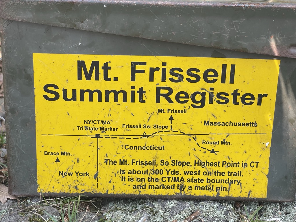
Frissell's summit and the majority of its slopes are within Massachusetts' Mount Washington State Forest. Its southern slopes are in Salisbury, Connecticut. Here the state line reaches to about 2,379 feet (725 m). The high-point marker for Connecticut is on the border with Massachusetts at 42.049633°N 73.483042°W / 42.049633; -73.483042. (The highest mountain summit in Connecticut is Bear Mountain, about 1.3 miles (2.1 km) to the east-southeast of Mount Frissell.
Mount Frissell is traversed by the Mount Frissell Trail which connects with the South Taconic Trail to the west and the Appalachian Trail to the east.
The south side of Mount Frissell drains into Riga Lake and South Pond, then into Wachocostinook Brook, Salmon Creek, the Housatonic River, and Long Island Sound. The northwest side drains into Ashley Hill Brook, thence Bash Bish Brook, the Roeliff Jansen Kill, the Hudson River, and Upper New York Bay. The northeast side drains into Sages Ravine, thence into Schenob Brook, the Hubbard Brook, the Housatonic River, and Long Island Sound. Mount Frissell is bordered by Round Mountain to the southeast, Mount Ashley to the north, and Brace Mountain to the west.
There's a trail leading to the summit.
The nearest mountain hut is AMC Cabin located 1 555m/5 101ft E of the summit.
By elevation Mount Frissell is
# 1 out of 1258 in Connecticut # 1 out of 295 in Litchfield County # 22 out of 2241 in Massachusetts # 20 out of 209 in Berkshire County # 44 out of 274 in the Taconic Mountains
By prominence Mount Frissell is
# 3 out of 1258 in Connecticut # 2 out of 295 in Litchfield County # 14 out of 2241 in Massachusetts # 9 out of 209 in Berkshire County # 25 out of 274 in the Taconic Mountains
We use GPS information embedded into the photo when it is available.
3D mountains overlay
Adjust mountain panorama to perfectly match your photos because recorded by camera photo position might be imprecise.
Move tool
Rotate tool
Zoom
More customization
Choose which peak labels should make into the final photo and what photo title should be.
Next
Photo Location
Satellitte
Flat map
Relief map
Latitude
Longitude
Altitude
OR
Latitude
°'''
Longitude
°'''
Apply
Register Peak
Peak Name
Latitude
Longitude
Altitude
Register
Teleport
PeakVisor
This 3D model of Sagarmatha National Park in Nepal was made using the PeakVisor app topographic data. The mobile app features higher precision models worldwide, more topographic details, and works offline. Download PeakVisor maps today.
Download OBJ model
PeakVisor
The download should start shortly. If you find it useful please consider supporting the PeakVisor app.
PeakVisor for iOS and Android
Be a superhero of outdoor navigation with state-of-the-art 3D maps and mountain identification in the palm of your hand!