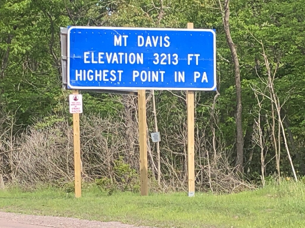
Mount Davis (3,213 ft or 979 m) is the highest point in Pennsylvania. Located in Forbes State Forest near the hamlet of Markleton in Elk Lick Township, Somerset County, it lies on a gentle crest of a 30-mile (50 km) ridge extending from central Somerset County southward into Garrett County, Maryland, where it is known as Negro Mountain. A parcel of land on top of the mountain has been protected as Mount Davis Natural Area.
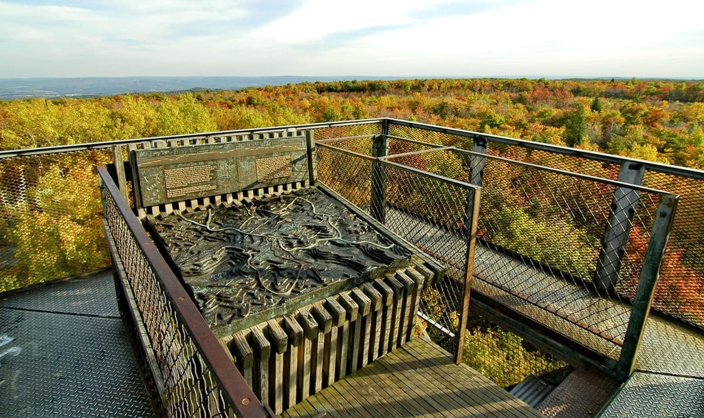
There's a trail leading to the summit.
By elevation Mount Davis is
# 1 out of 3 in Mt Davis Natural Area # 1 out of 1984 in Pennsylvania # 1 out of 37 in Somerset County # 1 out of 15 in Forbes State Forest
By prominence Mount Davis is
# 1 out of 3 in Mt Davis Natural Area # 82 out of 1984 in Pennsylvania # 2 out of 37 in Somerset County # 4 out of 15 in Forbes State Forest # 66 out of 949 in the Allegheny Mountains
We use GPS information embedded into the photo when it is available.
3D mountains overlay
Adjust mountain panorama to perfectly match your photos because recorded by camera photo position might be imprecise.
Move tool
Rotate tool
Zoom
More customization
Choose which peak labels should make into the final photo and what photo title should be.
Next
Photo Location
Satellitte
Flat map
Relief map
Latitude
Longitude
Altitude
OR
Latitude
°'''
Longitude
°'''
Apply
Register Peak
Peak Name
Latitude
Longitude
Altitude
Register
Teleport
PeakVisor
This 3D model of Sagarmatha National Park in Nepal was made using the PeakVisor app topographic data. The mobile app features higher precision models worldwide, more topographic details, and works offline. Download PeakVisor maps today.
Download OBJ model
PeakVisor
The download should start shortly. If you find it useful please consider supporting the PeakVisor app.
PeakVisor for iOS and Android
Be a superhero of outdoor navigation with state-of-the-art 3D maps and mountain identification in the palm of your hand!