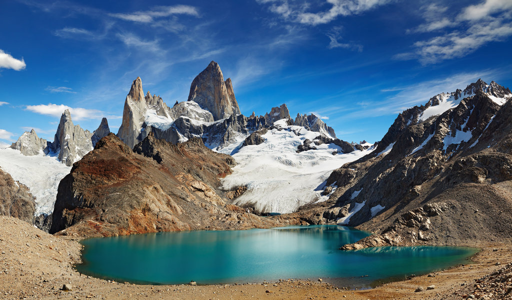
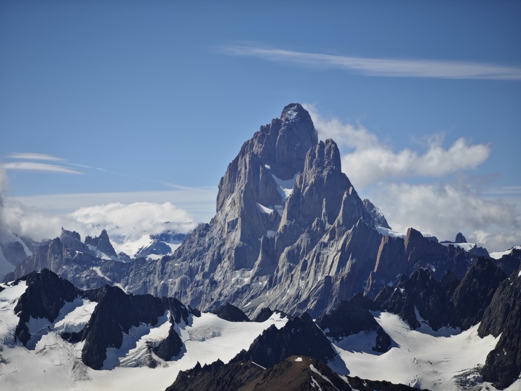
Monte Fitz Roy (also known as Cerro Chaltén, Cerro Fitz Roy, or simply Mount Fitz Roy) is a mountain in Patagonia, on the border between Argentina and Chile. It is located in the Southern Patagonian Ice Field, near El Chaltén village and Viedma Lake. It was first climbed in 1952 by French alpinists Lionel Terray and Guido Magnone.
By elevation Monte Fitz Roy is
# 1 out of 2 in Monumento Natural Provincial Cerro Chalten # 3 out of 838 in Santa Cruz Province, Argentina # 4 out of 537 in Provincia de Última Esperanza # 4 out of 1179 in XII Region of Magallanes and Chilean Antarctica # 2 out of 124 in Los Glaciares National Park
By prominence Monte Fitz Roy is
# 1 out of 2 in Monumento Natural Provincial Cerro Chalten # 4 out of 838 in Santa Cruz Province, Argentina # 22 out of 10580 in Chile # 4 out of 537 in Provincia de Última Esperanza # 6 out of 1179 in XII Region of Magallanes and Chilean Antarctica # 1 out of 124 in Los Glaciares National Park # 38 out of 16361 in the Andes (Chile, Argentina)
We use GPS information embedded into the photo when it is available.
3D mountains overlay
Adjust mountain panorama to perfectly match your photos because recorded by camera photo position might be imprecise.
Move tool
Rotate tool
Zoom
More customization
Choose which peak labels should make into the final photo and what photo title should be.
Next
Photo Location
Satellitte
Flat map
Relief map
Latitude
Longitude
Altitude
OR
Latitude
°'''
Longitude
°'''
Apply
Register Peak
Peak Name
Latitude
Longitude
Altitude
Register
Teleport
PeakVisor
This 3D model of Sagarmatha National Park in Nepal was made using the PeakVisor app topographic data. The mobile app features higher precision models worldwide, more topographic details, and works offline. Download PeakVisor maps today.
Download OBJ model
PeakVisor
The download should start shortly. If you find it useful please consider supporting the PeakVisor app.
PeakVisor for iOS and Android
Be a superhero of outdoor navigation with state-of-the-art 3D maps and mountain identification in the palm of your hand!


_01.jpg)


