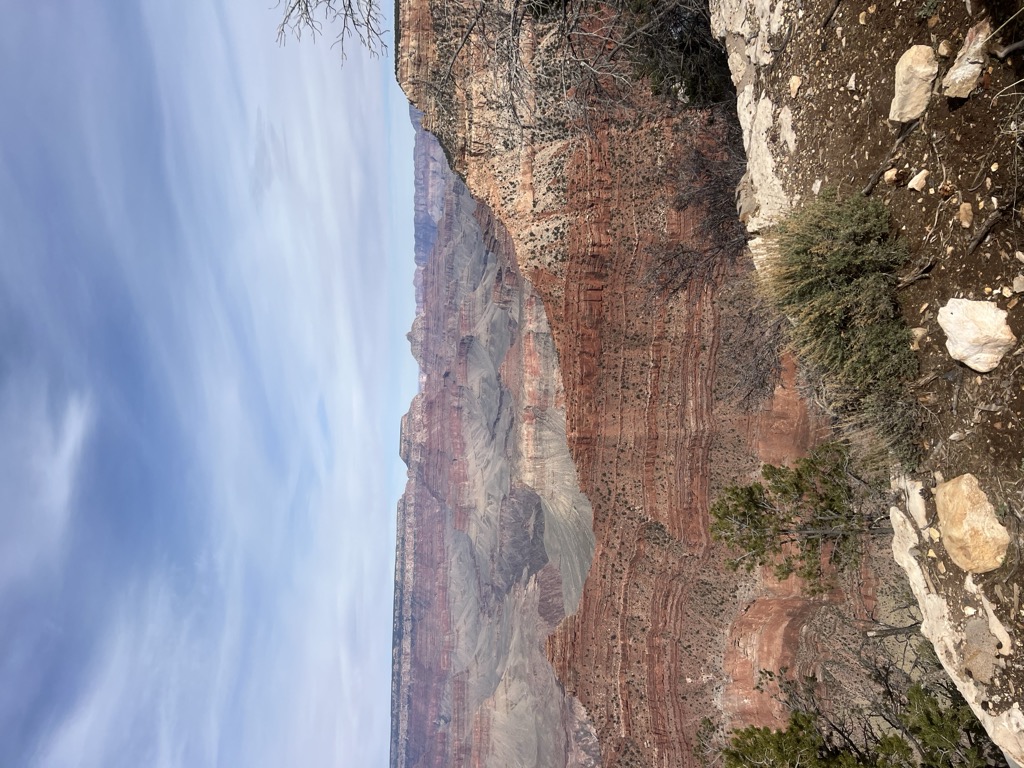
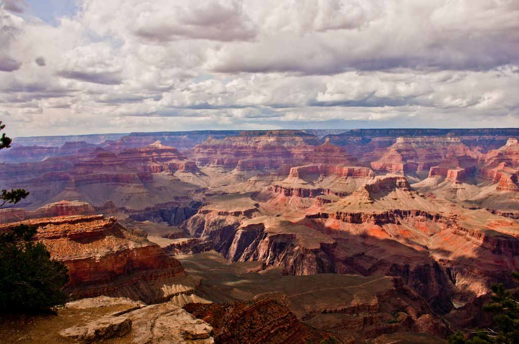
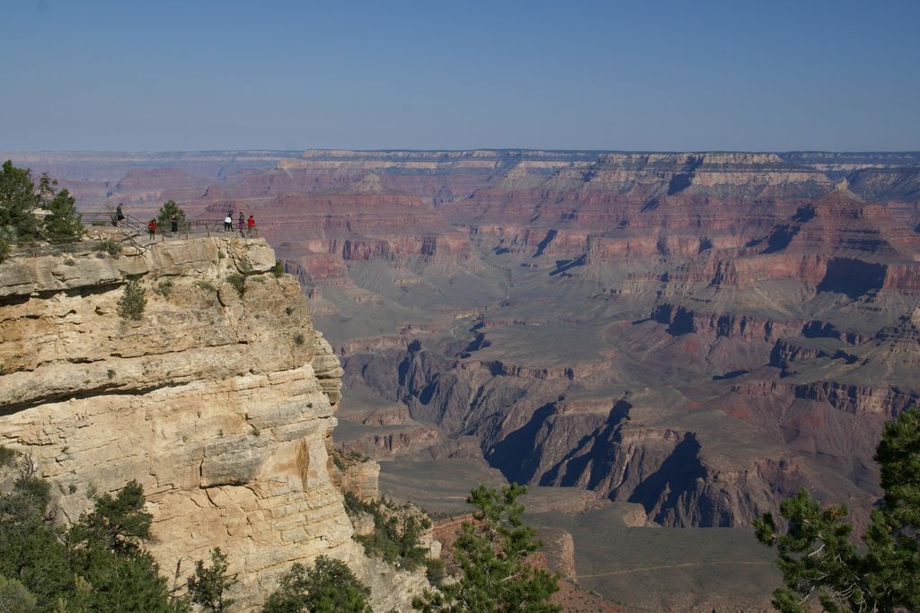
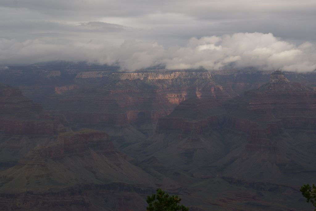
Mather Point is a 7,119 foot (2,170 m)-cliff-elevation Point located in the central Grand Canyon, Coconino County of northern Arizona, United States. It was named in honor of Stephen Tyng Mather, an American industrialist and conservationist.
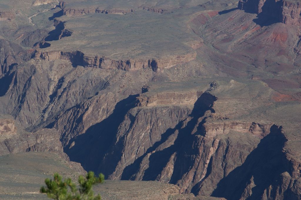
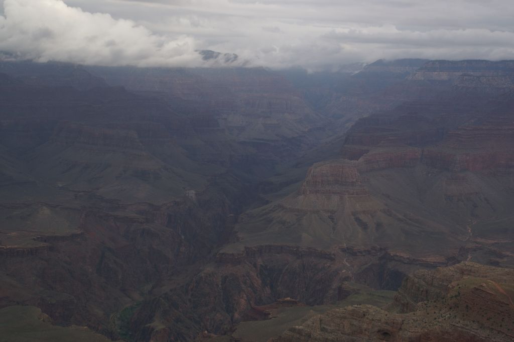
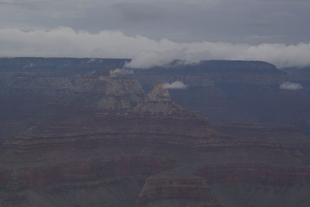
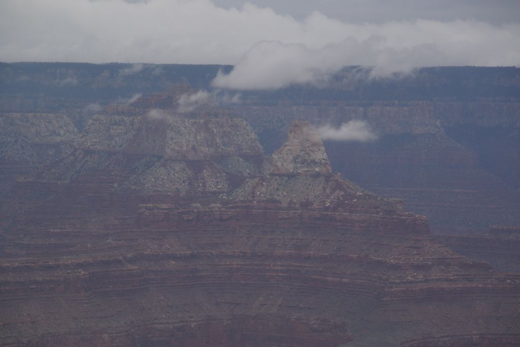
It is located about 2.0 miles east-northeast of Grand Canyon Village on the South Rim. It is about 0.75 miles east of Yavapai Point, its closest scenic viewpoint neighbor, and it lies about 1.5 miles west of Yaki Point, across Upper Pipe Creek Canyon. Pipe Creek enters Lower Garden Creek, and the Bright Angel Trail descends there to cross the Colorado River and go up Bright Angel Canyon. The viewpoints of Mather Point, (and Yavapai Point), look northwards (across Granite Gorge), up Bright Angel Canyon, and view the prominences that align it, especially the nearest of Isis Temple and Cheops Pyramid, and on the east, Zoroaster Temple, with Demaray Point, Bradley Point, and Sumner Butte.
Mather Point is about 1.0 mi north of Arizona Rt 64, South Rim Drive, the access road along the South Rim. The Rim Trail of the South Rim traverses through the major points of the South Rim, including Mather Point.
Mather Point is composed of horizontally-layered cliff-former Kaibab Limestone, and is mostly buff, or tan-white. The rock at the point is distinctive with its limestone erosion-holes, and is broken into large blocks. Mather Point is also composed of Kaibab upon Toroweap Formation slopes, upon white cliffs of Coconino Sandstone.
There's a trail leading to the summit.
By elevation Mather Point is
# 82 out of 280 in Grand Canyon National Park # 16 out of 144 in the Coconino Plateau
We use GPS information embedded into the photo when it is available.
3D mountains overlay
Adjust mountain panorama to perfectly match your photos because recorded by camera photo position might be imprecise.
Move tool
Rotate tool
Zoom
More customization
Choose which peak labels should make into the final photo and what photo title should be.
Next
Photo Location
Satellitte
Flat map
Relief map
Latitude
Longitude
Altitude
OR
Latitude
°'''
Longitude
°'''
Apply
Register Peak
Peak Name
Latitude
Longitude
Altitude
Register
Teleport
PeakVisor
This 3D model of Sagarmatha National Park in Nepal was made using the PeakVisor app topographic data. The mobile app features higher precision models worldwide, more topographic details, and works offline. Download PeakVisor maps today.
Download OBJ model
PeakVisor
The download should start shortly. If you find it useful please consider supporting the PeakVisor app.
PeakVisor for iOS and Android
Be a superhero of outdoor navigation with state-of-the-art 3D maps and mountain identification in the palm of your hand!