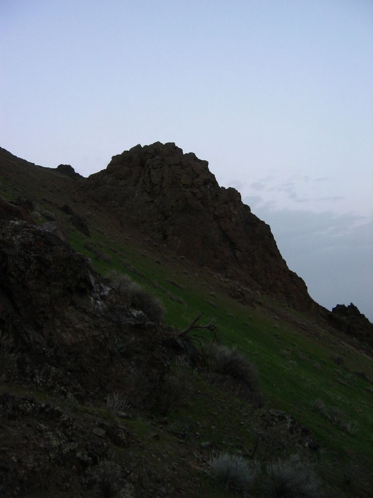
Malheur Butte is an extinct volcano located in Malheur County, Oregon. Between 20 and 15 million years ago, the region from north-central Washington to northeastern California experienced a series of volcanic eruptions and basalt lava floods that covered thousands of square miles. These ancient lava floods often dammed streams, creating lakes and swamps that may have lasted for millions of years before filling with sediment or draining as erosion slowly lowered their outlets. The western Snake River plain contained many such lakes, and geologists believe that between 8 and 2 million years ago, "Lake Idaho" covered much of central eastern Oregon. Sediment deposited in this lake once covered Malheur Butte, and during the last 2 million years the Malheur River and other eroding forces slowly exposed and shaped today's landmark.
Although Malheur Butte has been inactive for millions of years, Malheur County is still alive with geothermal activity in the form of hot springs.
The rock is slightly over 100 meters higher than the surrounding plains and the peak is 790 meters above sea level.
We use GPS information embedded into the photo when it is available.
3D mountains overlay
Adjust mountain panorama to perfectly match your photos because recorded by camera photo position might be imprecise.
Move tool
Rotate tool
Zoom
More customization
Choose which peak labels should make into the final photo and what photo title should be.
Next
Photo Location
Satellitte
Flat map
Relief map
Latitude
Longitude
Altitude
OR
Latitude
°'''
Longitude
°'''
Apply
Register Peak
Peak Name
Latitude
Longitude
Altitude
Register
Teleport
PeakVisor
This 3D model of Sagarmatha National Park in Nepal was made using the PeakVisor app topographic data. The mobile app features higher precision models worldwide, more topographic details, and works offline. Download PeakVisor maps today.
Download OBJ model
PeakVisor
The download should start shortly. If you find it useful please consider supporting the PeakVisor app.
PeakVisor for iOS and Android
Be a superhero of outdoor navigation with state-of-the-art 3D maps and mountain identification in the palm of your hand!