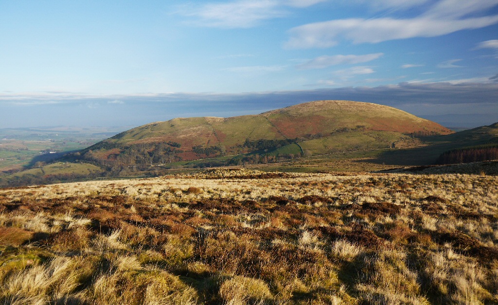
Little Mell Fell (Bare hill, with the later additions of both "Fell" and "Little") is a small fell in the English Lake District. It is an outlier of the Eastern Fells, standing to the north of Ullswater near the village of Watermillock, and connected to other high ground by a narrow col to the south.
It stands just to the east of the rather similar Great Mell Fell. Both fells are of a similar size and appearance. Both appear relatively isolated, both have a smooth, rounded outline, and unlike all other fells in the Lake District, both are composed of the same Devonian age conglomerate rock.
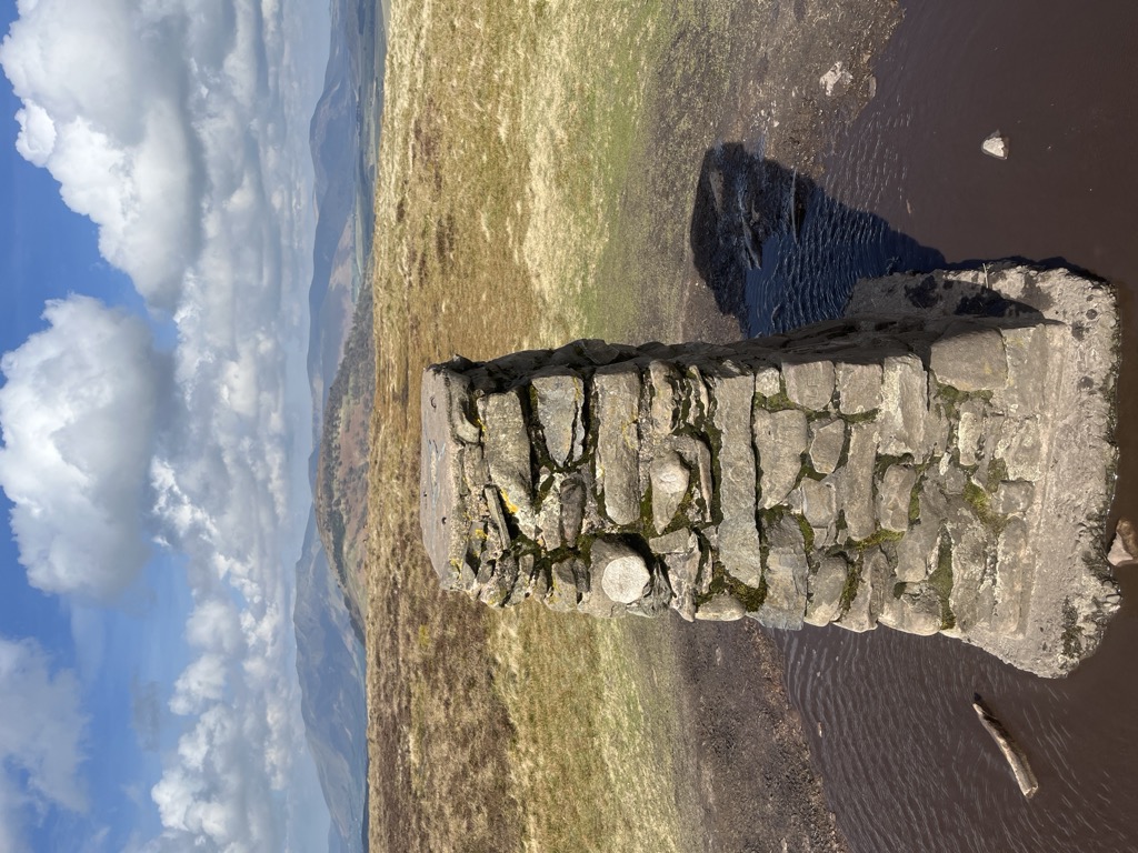
There's a trail leading to the summit.
By prominence Little Mell Fell is
# 70 out of 12948 in the England Hills # 25 out of 864 in Lake District National Park # 70 out of 13057 in England # 34 out of 1704 in Cumbria # 25 out of 838 in The English Lake District WHS
We use GPS information embedded into the photo when it is available.
3D mountains overlay
Adjust mountain panorama to perfectly match your photos because recorded by camera photo position might be imprecise.
Move tool
Rotate tool
Zoom
More customization
Choose which peak labels should make into the final photo and what photo title should be.
Next
Photo Location
Satellitte
Flat map
Relief map
Latitude
Longitude
Altitude
OR
Latitude
°'''
Longitude
°'''
Apply
Register Peak
Peak Name
Latitude
Longitude
Altitude
Register
Teleport
PeakVisor
This 3D model of Sagarmatha National Park in Nepal was made using the PeakVisor app topographic data. The mobile app features higher precision models worldwide, more topographic details, and works offline. Download PeakVisor maps today.
Download OBJ model
PeakVisor
The download should start shortly. If you find it useful please consider supporting the PeakVisor app.
PeakVisor for iOS and Android
Be a superhero of outdoor navigation with state-of-the-art 3D maps and mountain identification in the palm of your hand!