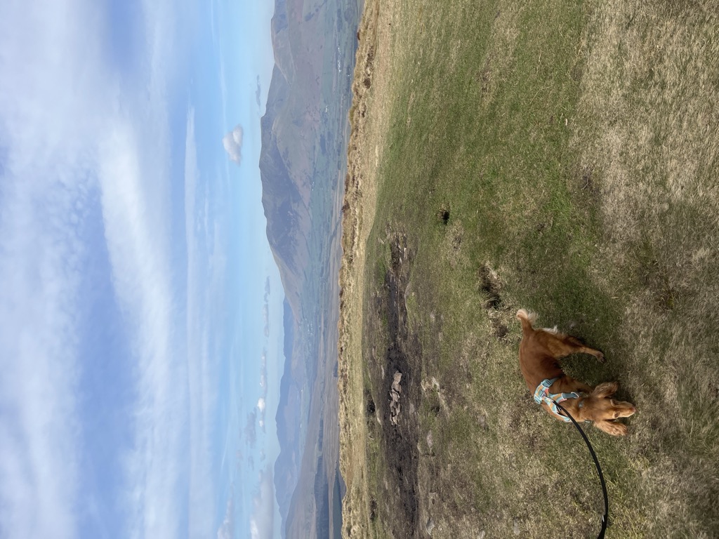
Great Mell Fell (Bare hill, with the later additions of both "Fell" and "Great") is an isolated hill or fell in the English Lake District, north of Ullswater and adjacent to the Eastern Fells. It rises from a level plain to a height of 537 m. Its top is a viewpoint for many of the surrounding higher fells. The fell is now owned and managed by the National Trust and offers a place of quiet refuge.
The fell was once well wooded, and retains a good covering of trees on the lower slopes, as well as scattered larches and pines higher up. Its rock is unusual for the Lake District, a reddish conglomerate of Devonian age, which has been eroded to form a rounded hill with smooth outlines and no rocky crags.
There's a trail leading to the summit.
The nearest mountain hut is Rookin House Camping Barn located 1 453m/4 768ft W of the summit.
By prominence Great Mell Fell is
# 93 out of 12948 in the England Hills # 28 out of 864 in Lake District National Park # 93 out of 13057 in England # 39 out of 1704 in Cumbria # 28 out of 838 in The English Lake District WHS
We use GPS information embedded into the photo when it is available.
3D mountains overlay
Adjust mountain panorama to perfectly match your photos because recorded by camera photo position might be imprecise.
Move tool
Rotate tool
Zoom
More customization
Choose which peak labels should make into the final photo and what photo title should be.
Next
Photo Location
Satellitte
Flat map
Relief map
Latitude
Longitude
Altitude
OR
Latitude
°'''
Longitude
°'''
Apply
Register Peak
Peak Name
Latitude
Longitude
Altitude
Register
Teleport
PeakVisor
This 3D model of Sagarmatha National Park in Nepal was made using the PeakVisor app topographic data. The mobile app features higher precision models worldwide, more topographic details, and works offline. Download PeakVisor maps today.
Download OBJ model
PeakVisor
The download should start shortly. If you find it useful please consider supporting the PeakVisor app.
PeakVisor for iOS and Android
Be a superhero of outdoor navigation with state-of-the-art 3D maps and mountain identification in the palm of your hand!