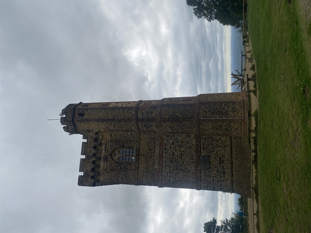
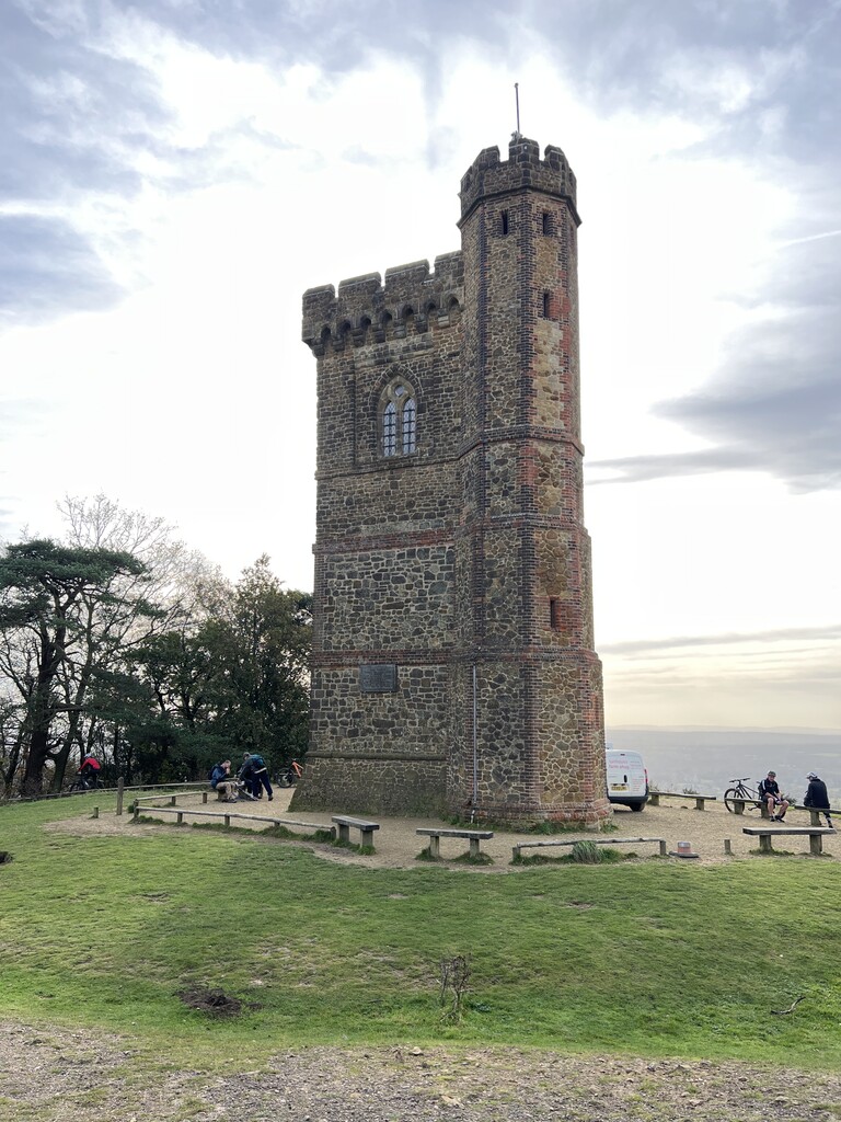
Leith Hill in southern England is the highest summit of the Greensand Ridge, approximately 6.7 km (4 mi) southwest of Dorking, Surrey and 40.5 km (30 mi) southwest of central London. It reaches 294 m (965 ft) above sea level, and is the second highest point in southeast England, after Walbury Hill in southwest Berkshire, (which is 297 m (974 ft) high). Leith Hill is the highest ground for 79 km (49 mi).
Four areas of woodland surrounding the hill comprise the 337.9-hectare (835-acre) Leith Hill Site of Special Scientific Interest, although the summit is excluded from this designation.
The nearest railway station is Holmwood station, 3.6 km (2 mi) to the east, served by Southern trains to London Victoria.
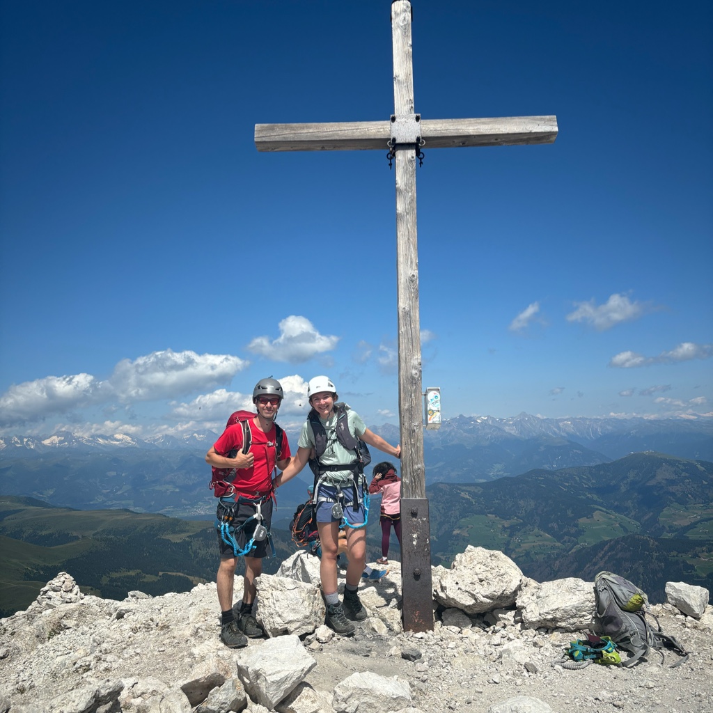
There's a trail leading to the summit.
By elevation Leith Hill is
# 1 out of 276 in Surrey # 1 out of 104 in Surrey Hills AONB
By prominence Leith Hill is
# 53 out of 12948 in the England Hills # 1 out of 276 in Surrey # 53 out of 13057 in England # 1 out of 104 in Surrey Hills AONB
We use GPS information embedded into the photo when it is available.
3D mountains overlay
Adjust mountain panorama to perfectly match your photos because recorded by camera photo position might be imprecise.
Move tool
Rotate tool
Zoom
More customization
Choose which peak labels should make into the final photo and what photo title should be.
Next
Photo Location
Satellitte
Flat map
Relief map
Latitude
Longitude
Altitude
OR
Latitude
°'''
Longitude
°'''
Apply
Register Peak
Peak Name
Latitude
Longitude
Altitude
Register
Teleport
PeakVisor
This 3D model of Sagarmatha National Park in Nepal was made using the PeakVisor app topographic data. The mobile app features higher precision models worldwide, more topographic details, and works offline. Download PeakVisor maps today.
Download OBJ model
PeakVisor
The download should start shortly. If you find it useful please consider supporting the PeakVisor app.
PeakVisor for iOS and Android
Be a superhero of outdoor navigation with state-of-the-art 3D maps and mountain identification in the palm of your hand!