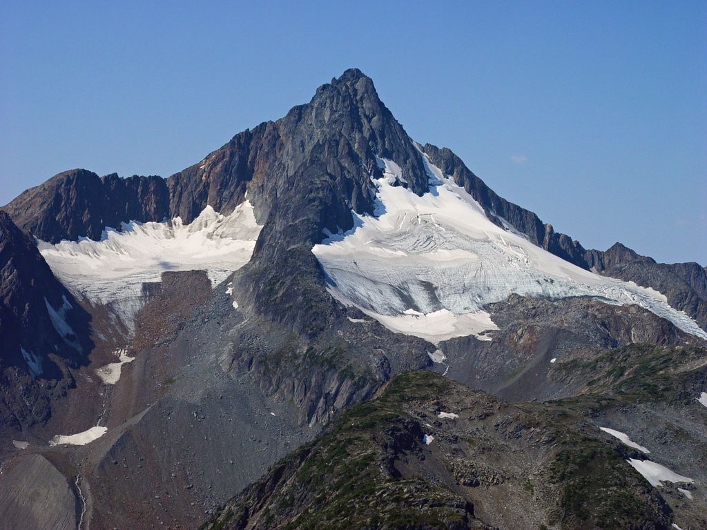
Kwoiek Needle is a 2,625-metre (8,612-foot) mountain summit located in the Lillooet Ranges of southwestern British Columbia, Canada. It is situated 24 km (15 mi) southwest of Lytton, and its nearest higher peak is Kumkan Peak, 9.2 km (6 mi) to the west. The mountain was named in association with Kwoiek Creek, Kwoiek Lake, and Kwoiek Peak. Kwoiek is a Thompson Indian word meaning "gouged out," referring to a large chunk missing from the canyon wall. The name was officially adopted on October 6, 1936, by the Geographical Names Board of Canada. Meltwater from unnamed glaciers on its north slopes and precipitation runoff from the peak drains into Kwoiek Creek and Log Creek, both tributaries of the Fraser River.
By elevation Kwoiek Needle is
# 13 out of 370 in Fraser Valley Regional District # 33 out of 382 in Thompson-Nicola Regional District # 20 out of 119 in the Lillooet Range
By prominence Kwoiek Needle is
# 58 out of 370 in Fraser Valley Regional District # 67 out of 382 in Thompson-Nicola Regional District # 16 out of 119 in the Lillooet Range
We use GPS information embedded into the photo when it is available.
3D mountains overlay
Adjust mountain panorama to perfectly match your photos because recorded by camera photo position might be imprecise.
Move tool
Rotate tool
Zoom
More customization
Choose which peak labels should make into the final photo and what photo title should be.
Next
Photo Location
Satellitte
Flat map
Relief map
Latitude
Longitude
Altitude
OR
Latitude
°'''
Longitude
°'''
Apply
Register Peak
Peak Name
Latitude
Longitude
Altitude
Register
Teleport
PeakVisor
This 3D model of Sagarmatha National Park in Nepal was made using the PeakVisor app topographic data. The mobile app features higher precision models worldwide, more topographic details, and works offline. Download PeakVisor maps today.
Download OBJ model
PeakVisor
The download should start shortly. If you find it useful please consider supporting the PeakVisor app.
PeakVisor for iOS and Android
Be a superhero of outdoor navigation with state-of-the-art 3D maps and mountain identification in the palm of your hand!