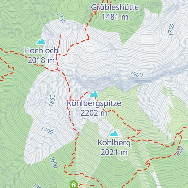
The Kohlbergspitze is a 2,202 m (AA) high summit on the main chain (Daniel ridge) of the Ammergau Alps in Tyrol, Austria. Less common names for the mountain are the Zigersteinjoch, Stapferwiesjoch and Zigerstein (also the name of a small rock pinnacle with a summit cross on the southwest side of the Kohlbergspitze). With its 300-metre-high north faces and grassy and less steep southern slopes is the first prominent summit in the western part of the main chain.
There's a demading hiking trail (T3) leading to the summit.
The nearest mountain hut is Dianahütte located 959m/3 146ft SSW of the summit.
By elevation Kohlbergspitze is
# 5 out of 378 in the Ammergau Alps
By prominence Kohlbergspitze is
# 90 out of 775 in Bezirk Reutte # 32 out of 378 in the Ammergau Alps
We use GPS information embedded into the photo when it is available.
3D mountains overlay
Adjust mountain panorama to perfectly match your photos because recorded by camera photo position might be imprecise.
Move tool
Rotate tool
Zoom
More customization
Choose which peak labels should make into the final photo and what photo title should be.
Next
Photo Location
Satellitte
Flat map
Relief map
Latitude
Longitude
Altitude
OR
Latitude
°'''
Longitude
°'''
Apply
Register Peak
Peak Name
Latitude
Longitude
Altitude
Register
Teleport
PeakVisor
This 3D model of Sagarmatha National Park in Nepal was made using the PeakVisor app topographic data. The mobile app features higher precision models worldwide, more topographic details, and works offline. Download PeakVisor maps today.
Download OBJ model
PeakVisor
The download should start shortly. If you find it useful please consider supporting the PeakVisor app.
PeakVisor for iOS and Android
Be a superhero of outdoor navigation with state-of-the-art 3D maps and mountain identification in the palm of your hand!