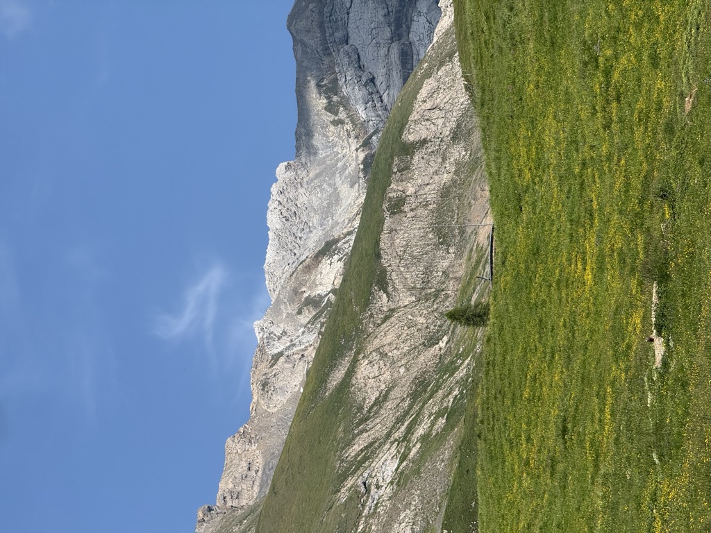
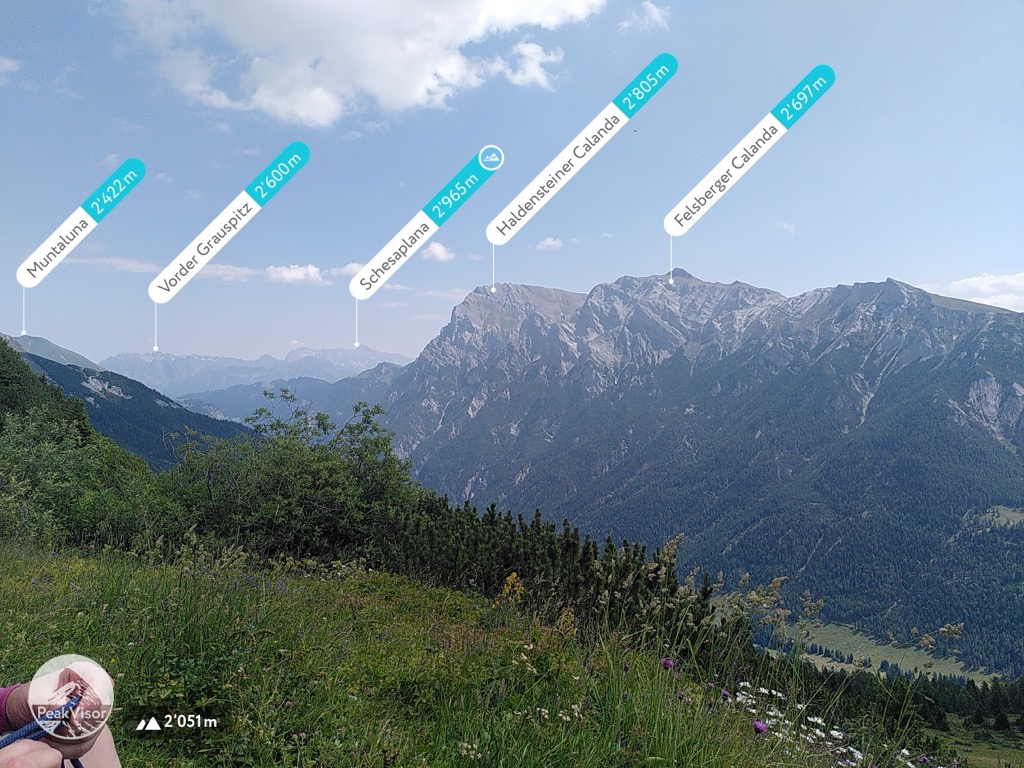
The Calanda is a mountain (more precisely, a massif) in the Glarus Alps with two main peaks: Haldensteiner Calanda (2805 m) and Felsberger Calanda (2697 m), both located on the border between the cantons of St. Gallen and Graubünden in eastern Switzerland. It looms over Chur, the capital city of Graubünden.
Although Felsberger Calanda's topographic prominence is 286 metres—enough to possibly be considered a mountain in its own right—the massif is commonly said to be one mountain with several peaks. It lies between the valleys of the Rhine (to the southeast) and the Tamina (to the northwest), and is separated from the Ringelspitz by the Kunkels Pass.
The name Calanda derives from the Latin "calare", roughly meaning roll down, which refers to the ever-moving southern face that can be seen at Felsberg and is still an active rock slide.
The shallow southeastern slopes lie in Graubünden, within the municipalities of Mastrils, Untervaz, Haldenstein, Felsberg and Tamins, whereas most of the steeper slopes on the northwest lie in the Canton of St. Gallen, in the municipality of Pfäfers.
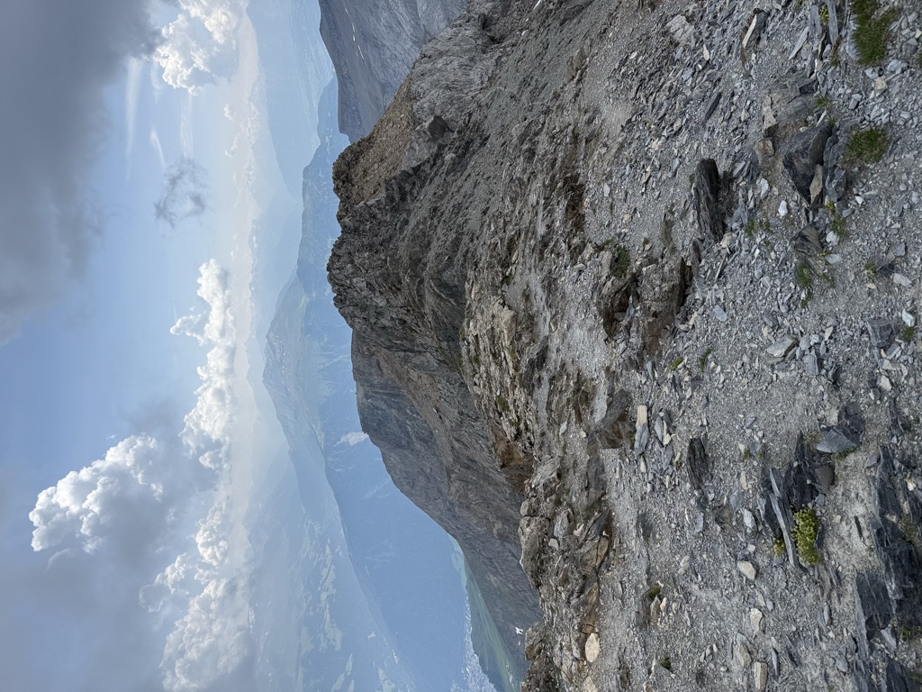
Calanda's secondary peaks are called Rossfallenspitz and Güllenchopf, whereas Berger Calanda and Taminser Calanda are less prominent points that mark the ends of the main ridge.
On the northerly plateau of Felsberger Calanda, ibexes are regularly seen.
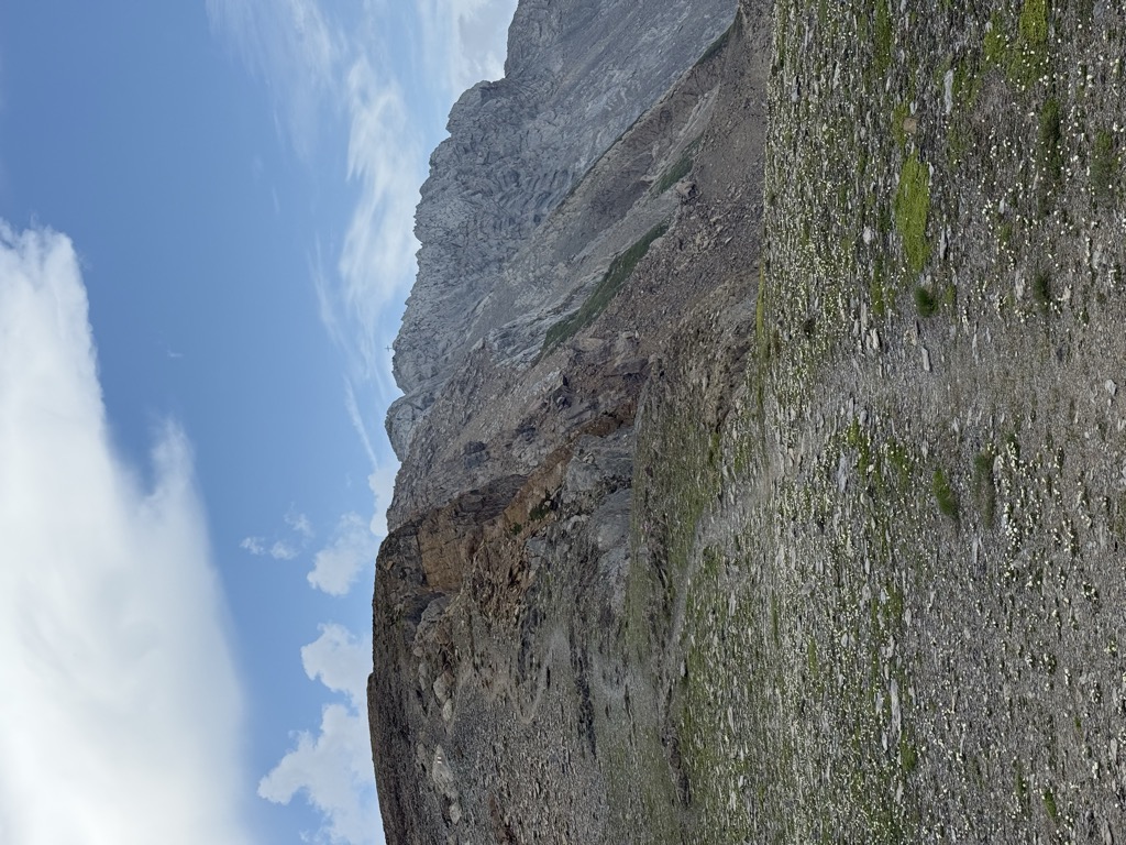
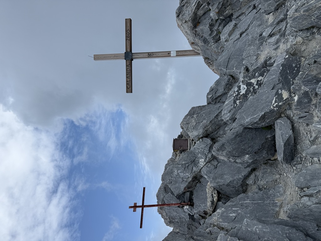
A Swiss Alpine Club mountain hut, the Calandahütte, sites on slopes below Haldensteiner Calanda, at an elevation of 2073 m. The two main summits can be reached from the south by hiking: Haldensteiner Calanda by a route rated T3 on the SAC Hiking Scale, and Felsberger Calanda by a T4 route, which requires more experience in route finding and a head for heights to a certain degree.
At Felsberg, the local produced wine is called Goldene Sonne, a reminder of a gold mine in the southern face of Calanda.
There's a demading hiking trail (T3) leading to the summit.
By elevation Haldensteiner Calanda is
# 12 out of 498 in Sankt Gallen # 12 out of 250 in Wahlkreis Sarganserland # 1 out of 69 in Landquart
By prominence Haldensteiner Calanda is
# 49 out of 60693 in the Alps # 2 out of 812 in the Glarus Alps # 4 out of 2367 in Grisons # 1 out of 498 in Sankt Gallen # 1 out of 250 in Wahlkreis Sarganserland # 1 out of 69 in Landquart # 10 out of 10817 in Switzerland
We use GPS information embedded into the photo when it is available.
3D mountains overlay
Adjust mountain panorama to perfectly match your photos because recorded by camera photo position might be imprecise.
Move tool
Rotate tool
Zoom
More customization
Choose which peak labels should make into the final photo and what photo title should be.
Next
Photo Location
Satellitte
Flat map
Relief map
Latitude
Longitude
Altitude
OR
Latitude
°'''
Longitude
°'''
Apply
Register Peak
Peak Name
Latitude
Longitude
Altitude
Register
Teleport
PeakVisor
This 3D model of Sagarmatha National Park in Nepal was made using the PeakVisor app topographic data. The mobile app features higher precision models worldwide, more topographic details, and works offline. Download PeakVisor maps today.
Download OBJ model
PeakVisor
The download should start shortly. If you find it useful please consider supporting the PeakVisor app.
PeakVisor for iOS and Android
Be a superhero of outdoor navigation with state-of-the-art 3D maps and mountain identification in the palm of your hand!