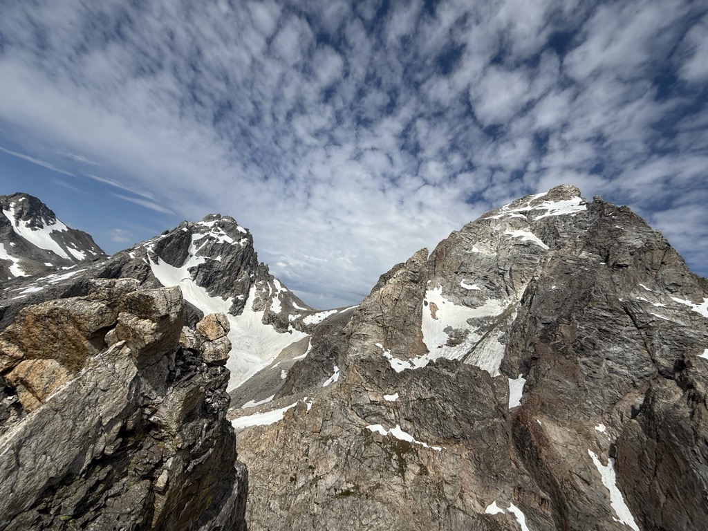
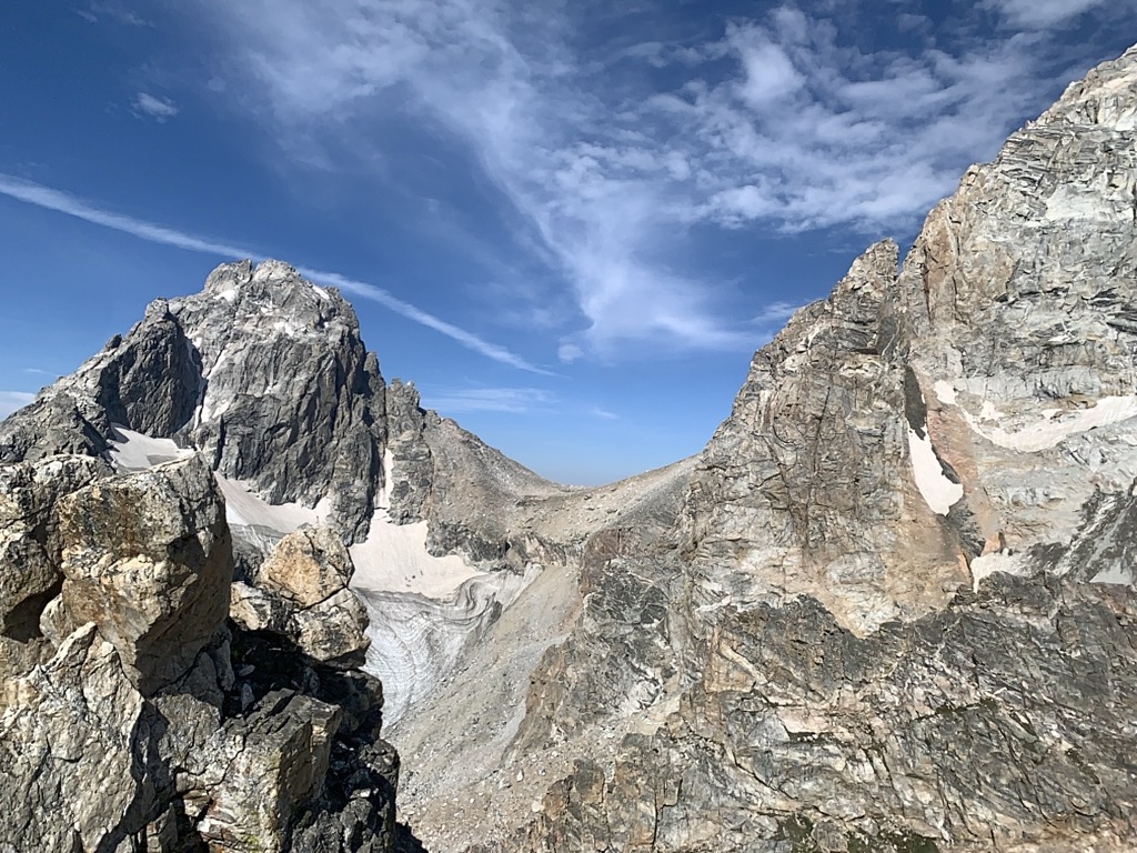
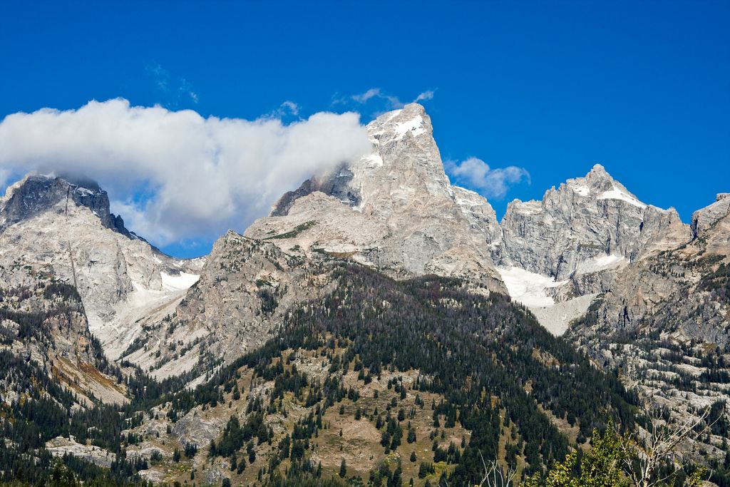
Disappointment Peak (11,623 feet (3,543 m)) is in the Teton Range of Wyoming, in Grand Teton National Park and immediately southeast of Grand Teton. The peak is part of the Cathedral Group, a region of the Tetons noted for particularly rugged mountains. Disappointment Peak rises to the north of Garnet Canyon and to the west of Amphitheater and Surprise lakes. The peak has a variety of mountaineering routes, including the most difficult in the range.
Disappointment Peak was given its name in 1925 when four Colorado climbers, led by Phil Smith (who was soon to become the first park ranger), set out to climb the Grand, but found an impasse on this peak where a 450 foot (140 m) drop is encountered to the saddle between the two summits. After a failed rappel attempt, they gave the peak this name. They were later satisfied to learn they had made a first ascent.
By elevation Disappointment Peak is
# 13 out of 81 in Grand Teton National Park # 15 out of 234 in Teton County # 13 out of 97 in the Teton Range
By prominence Disappointment Peak is
# 44 out of 81 in Grand Teton National Park # 46 out of 97 in the Teton Range
We use GPS information embedded into the photo when it is available.
3D mountains overlay
Adjust mountain panorama to perfectly match your photos because recorded by camera photo position might be imprecise.
Move tool
Rotate tool
Zoom
More customization
Choose which peak labels should make into the final photo and what photo title should be.
Next
Photo Location
Satellitte
Flat map
Relief map
Latitude
Longitude
Altitude
OR
Latitude
°'''
Longitude
°'''
Apply
Register Peak
Peak Name
Latitude
Longitude
Altitude
Register
Teleport
PeakVisor
This 3D model of Sagarmatha National Park in Nepal was made using the PeakVisor app topographic data. The mobile app features higher precision models worldwide, more topographic details, and works offline. Download PeakVisor maps today.
Download OBJ model
PeakVisor
The download should start shortly. If you find it useful please consider supporting the PeakVisor app.
PeakVisor for iOS and Android
Be a superhero of outdoor navigation with state-of-the-art 3D maps and mountain identification in the palm of your hand!