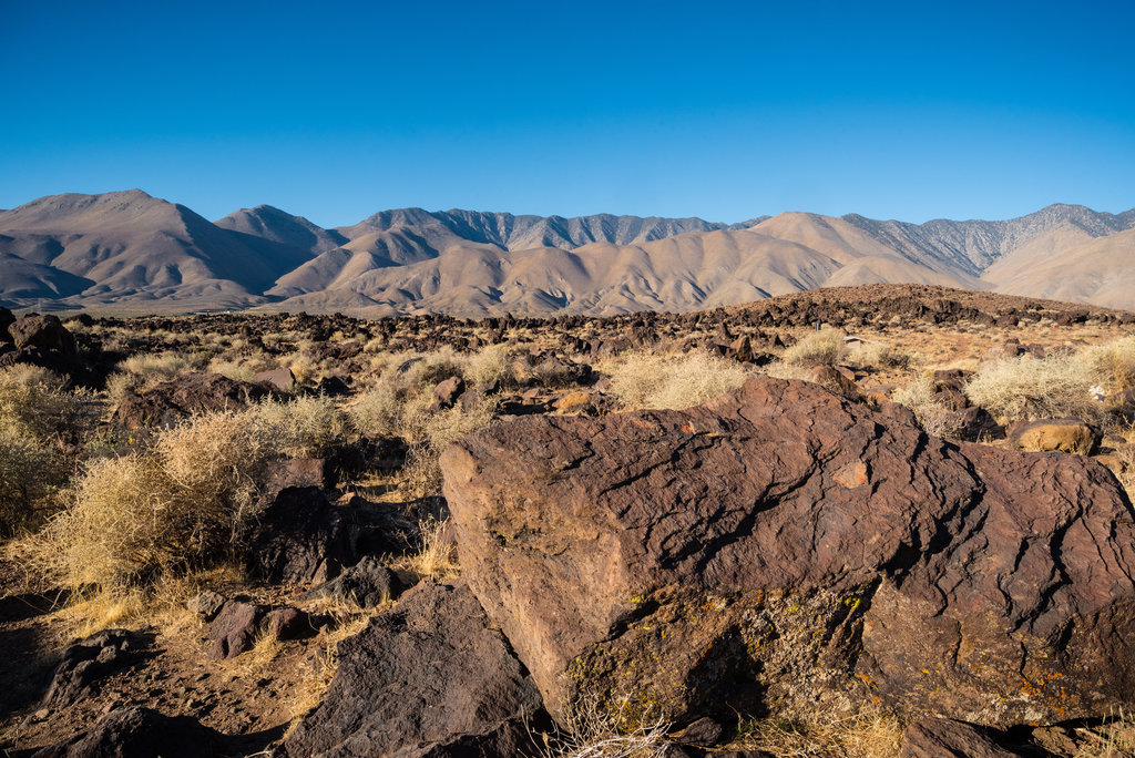
Coso Peak is the highest summit in the Coso Range, a small mountain range east of the Sierra Nevada, in Inyo County in the U.S. state of California. The peak has an elevation of 8,157 feet (2,486 metres) and a topographic prominence of 2,489 ft (759 m), making it the 88th most prominent mountain in California.
While much of the northern part of the Coso Range is within the Coso Range Wilderness protected area, administered by the Bureau of Land Management (BLM), Coso Peak itself and much of the southern part of the range is within the boundaries of Naval Air Weapons Station China Lake, a U.S. Navy research, testing, and evaluation installation. Coso Peak and the Coso Range also form part of the Basin and Range Province, along with neighboring mountains and ranges, such as the Argus Range.
Nearby peaks in the Coso Range include 7,668 ft (2,337 m) Pinon Peak to the west, and 7,550 ft (2,301 m) Silver Peak to the south.
There's a trail leading to the summit.
By elevation Coso Peak is
# 1 out of 13 in the Coso Range
By prominence Coso Peak is
# 86 out of 7926 in California # 16 out of 258 in Inyo County # 1 out of 13 in the Coso Range
We use GPS information embedded into the photo when it is available.
3D mountains overlay
Adjust mountain panorama to perfectly match your photos because recorded by camera photo position might be imprecise.
Move tool
Rotate tool
Zoom
More customization
Choose which peak labels should make into the final photo and what photo title should be.
Next
Photo Location
Satellitte
Flat map
Relief map
Latitude
Longitude
Altitude
OR
Latitude
°'''
Longitude
°'''
Apply
Register Peak
Peak Name
Latitude
Longitude
Altitude
Register
Teleport
PeakVisor
This 3D model of Sagarmatha National Park in Nepal was made using the PeakVisor app topographic data. The mobile app features higher precision models worldwide, more topographic details, and works offline. Download PeakVisor maps today.
Download OBJ model
PeakVisor
The download should start shortly. If you find it useful please consider supporting the PeakVisor app.
PeakVisor for iOS and Android
Be a superhero of outdoor navigation with state-of-the-art 3D maps and mountain identification in the palm of your hand!


_conducts_an_operation_test_mission_as_a_dessert_rainstorm_dissipates_over_the_Coso_Mountain_Range.jpg)


