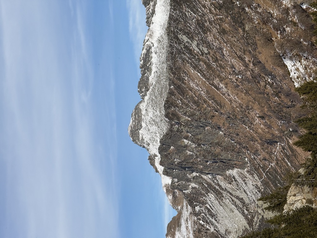
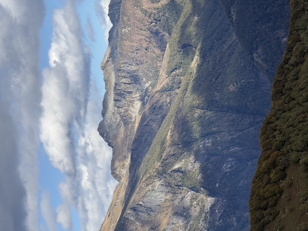
The Cima dell'Uomo (2,390 m) is a mountain of the Swiss Lepontine Alps, located north-west of Monte Carasso in the canton of Ticino. It lies east of the slightly higher Pizzo di Vogorno, near the southern end of the range separating the main valley of the Ticino from Valle Verzasca.
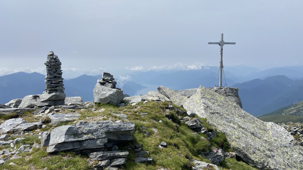
The summit is accessible to hikers via several trails on the south-west side.
There's a demanding alpine trail (T5) leading to the summit.
The nearest mountain hut is Capanna Borgna located 1 081m/3 547ft WSW of the summit.
By elevation Cima dell'Uomo is
# 4 out of 55 in Distretto di Bellinzona # 48 out of 172 in Distretto di Locarno
By prominence Cima dell'Uomo is
# 57 out of 824 in Ticino # 2 out of 55 in Distretto di Bellinzona # 14 out of 172 in Distretto di Locarno # 35 out of 614 in the Tessiner Alpen
We use GPS information embedded into the photo when it is available.
3D mountains overlay
Adjust mountain panorama to perfectly match your photos because recorded by camera photo position might be imprecise.
Move tool
Rotate tool
Zoom
More customization
Choose which peak labels should make into the final photo and what photo title should be.
Next
Photo Location
Satellitte
Flat map
Relief map
Latitude
Longitude
Altitude
OR
Latitude
°'''
Longitude
°'''
Apply
Register Peak
Peak Name
Latitude
Longitude
Altitude
Register
Teleport
PeakVisor
This 3D model of Sagarmatha National Park in Nepal was made using the PeakVisor app topographic data. The mobile app features higher precision models worldwide, more topographic details, and works offline. Download PeakVisor maps today.
Download OBJ model
PeakVisor
The download should start shortly. If you find it useful please consider supporting the PeakVisor app.
PeakVisor for iOS and Android
Be a superhero of outdoor navigation with state-of-the-art 3D maps and mountain identification in the palm of your hand!