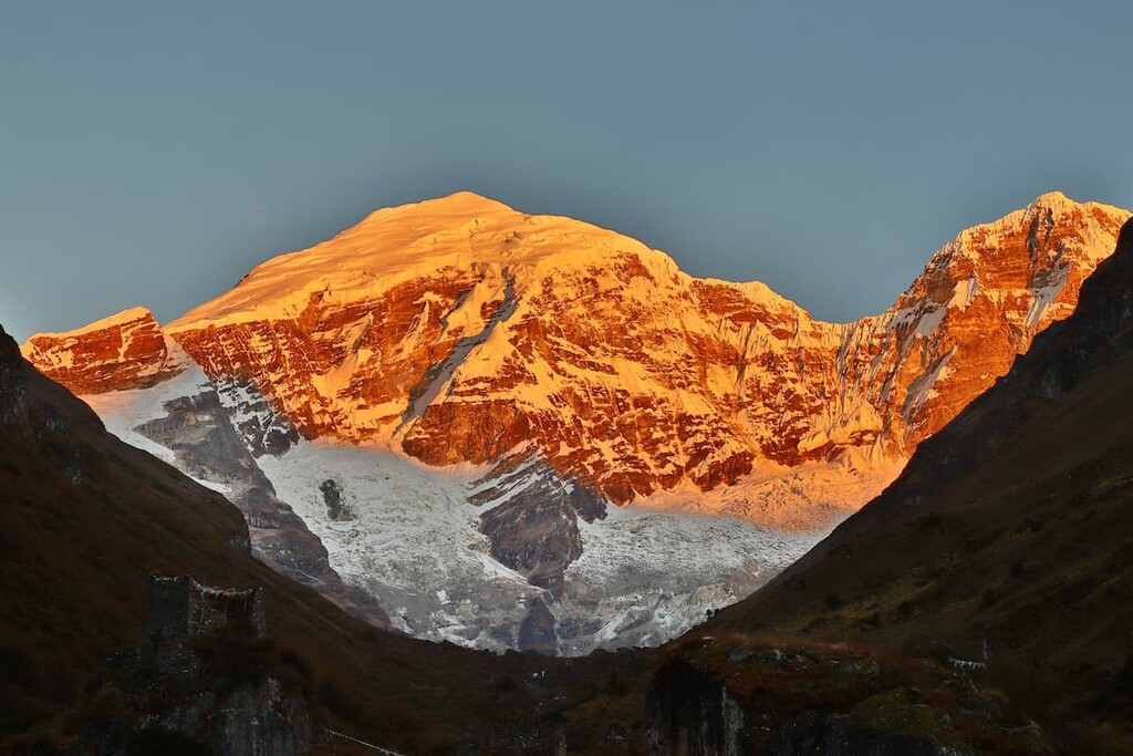
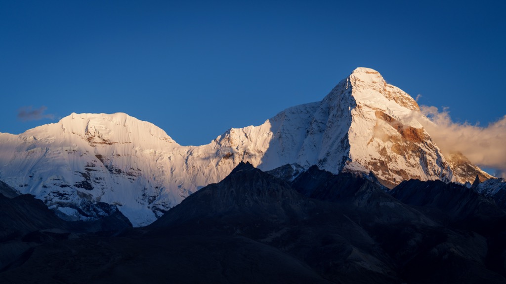
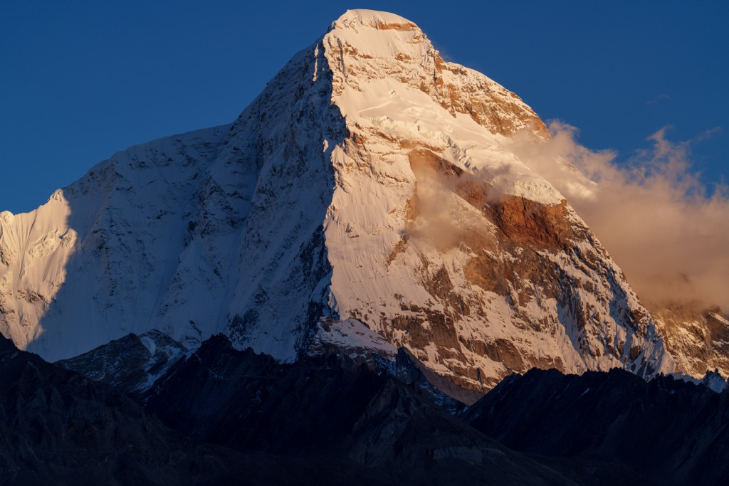
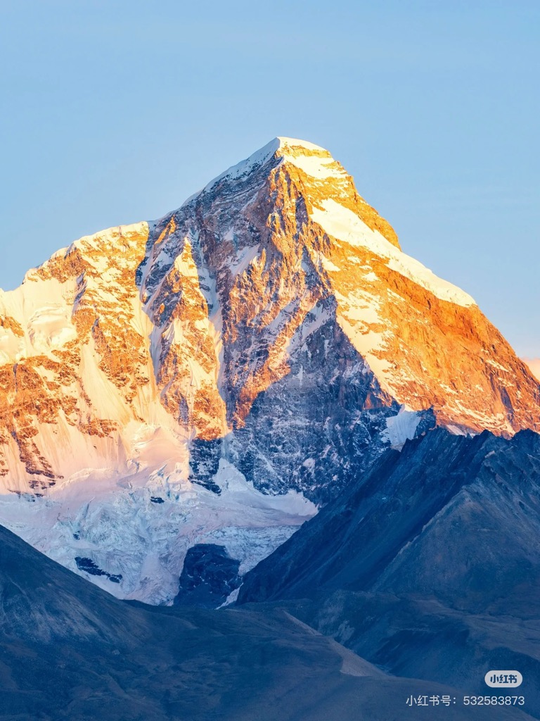
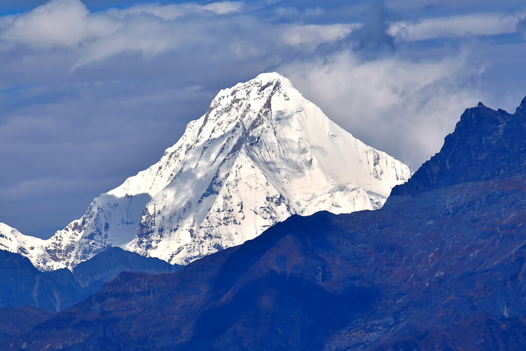
Jomolhari or Chomolhari (Tibetan: ཇོ་མོ་ལྷ་རི, Wylie: jo mo lha ri; Chinese: 绰莫拉日峰; pinyin: Chuòmòlārì Fēng) sometimes known as "the bride of Kangchenjunga”, is a mountain in the Himalayas, straddling the border between Yadong County of Tibet, China and the Paro district of Bhutan. The north face rises over 2,700 metres (8,900 ft) above the barren plains. The mountain is the source of the Paro Chu (Paro river) which flows from the south side and the Amo Chu which flows from the north side.
By elevation Jomolhari is
# 36 out of 936 in Tibet # 3 out of 45 in Bhutan # 55 out of 12241 in China # 1 out of 40 in Yadong County # 1 out of 6 in Thimphu District # 1 out of 11 in Jigme Dorji National Park # 79 out of 3458 in the Himalayas
By prominence Jomolhari is
# 11 out of 936 in Tibet # 2 out of 45 in Bhutan # 31 out of 12241 in China # 1 out of 40 in Yadong County # 1 out of 6 in Thimphu District # 1 out of 11 in Jigme Dorji National Park # 18 out of 3458 in the Himalayas
We use GPS information embedded into the photo when it is available.
3D mountains overlay
Adjust mountain panorama to perfectly match your photos because recorded by camera photo position might be imprecise.
Move tool
Rotate tool
Zoom
More customization
Choose which peak labels should make into the final photo and what photo title should be.
Next
Photo Location
Satellitte
Flat map
Relief map
Latitude
Longitude
Altitude
OR
Latitude
°'''
Longitude
°'''
Apply
Register Peak
Peak Name
Latitude
Longitude
Altitude
Register
Teleport
PeakVisor
This 3D model of Sagarmatha National Park in Nepal was made using the PeakVisor app topographic data. The mobile app features higher precision models worldwide, more topographic details, and works offline. Download PeakVisor maps today.
Download OBJ model
PeakVisor
The download should start shortly. If you find it useful please consider supporting the PeakVisor app.
PeakVisor for iOS and Android
Be a superhero of outdoor navigation with state-of-the-art 3D maps and mountain identification in the palm of your hand!