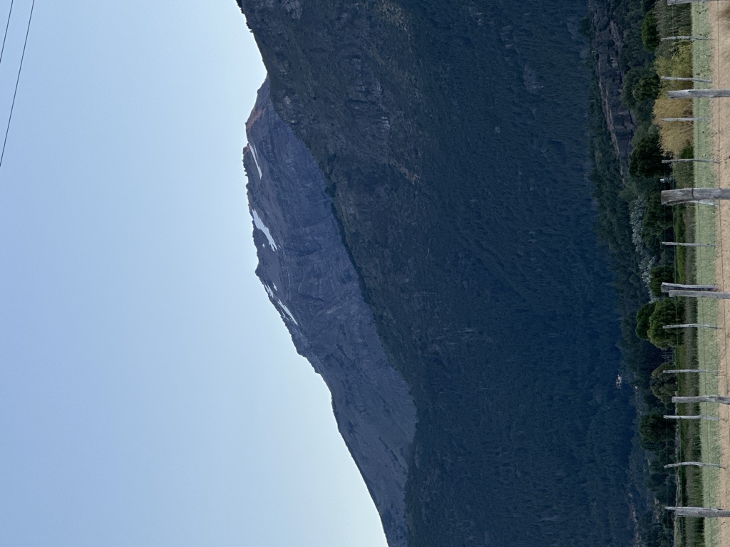
Cerro Cónico (2 271m/7 451ft a.s.l.) is a mountain in the Andes on the border of Chile, Chubut. The prominence is 1 630m/5 348ft.
The nearest mountain hut is Refugio del Cerro Cónico (Joaquín Hardt) located 1 980m/6 497ft E of the summit.
By elevation Cerro Cónico is
# 28 out of 452 in Reserva de Biósfera Andina Norpatagonica # 9 out of 750 in Chubut # 3 out of 178 in Provincia de Palena # 8 out of 507 in Región de Los Lagos # 1 out of 4 in Reserva Nacional Futaleufú # 1 out of 1 in Área Natural Protegida Lago Baggilt
By prominence Cerro Cónico is
# 5 out of 452 in Reserva de Biósfera Andina Norpatagonica # 3 out of 750 in Chubut # 43 out of 10580 in Chile # 2 out of 178 in Provincia de Palena # 5 out of 507 in Región de Los Lagos # 1 out of 4 in Reserva Nacional Futaleufú # 1 out of 1 in Área Natural Protegida Lago Baggilt # 70 out of 16361 in the Andes (Chile, Argentina)
We use GPS information embedded into the photo when it is available.
3D mountains overlay
Adjust mountain panorama to perfectly match your photos because recorded by camera photo position might be imprecise.
Move tool
Rotate tool
Zoom
More customization
Choose which peak labels should make into the final photo and what photo title should be.
Next
Photo Location
Satellitte
Flat map
Relief map
Latitude
Longitude
Altitude
OR
Latitude
°'''
Longitude
°'''
Apply
Register Peak
Peak Name
Latitude
Longitude
Altitude
Register
Teleport
PeakVisor
This 3D model of Sagarmatha National Park in Nepal was made using the PeakVisor app topographic data. The mobile app features higher precision models worldwide, more topographic details, and works offline. Download PeakVisor maps today.
Download OBJ model
PeakVisor
The download should start shortly. If you find it useful please consider supporting the PeakVisor app.
PeakVisor for iOS and Android
Be a superhero of outdoor navigation with state-of-the-art 3D maps and mountain identification in the palm of your hand!