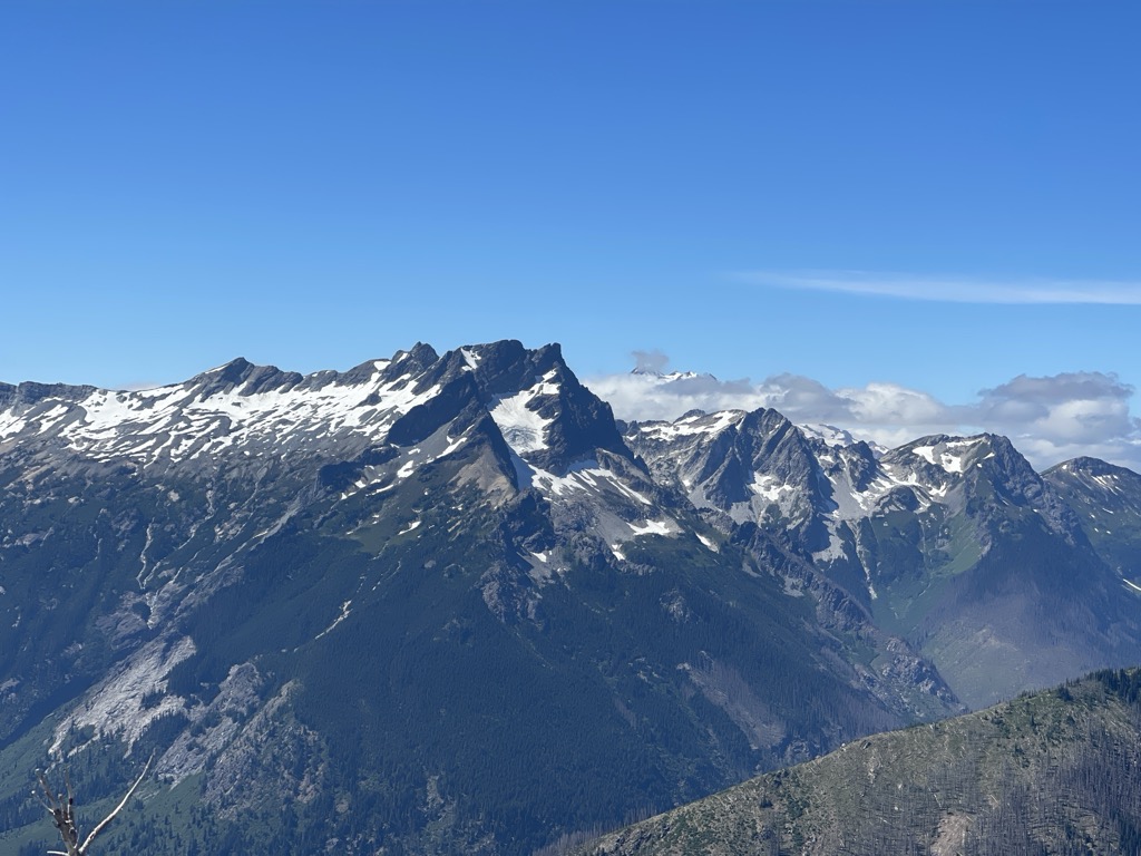
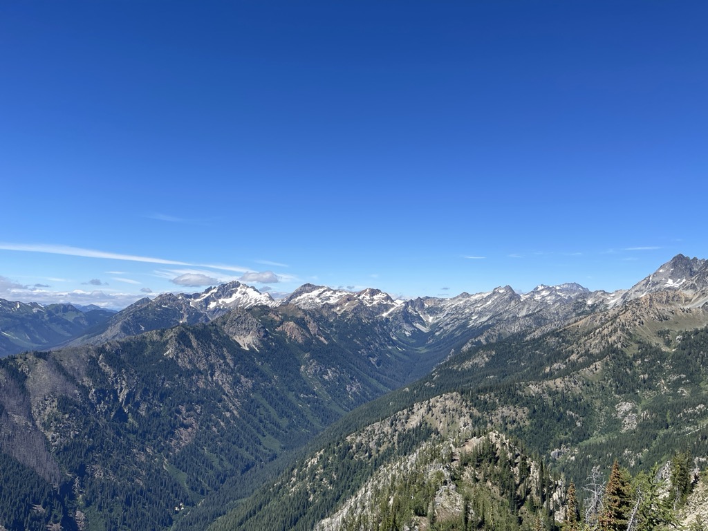
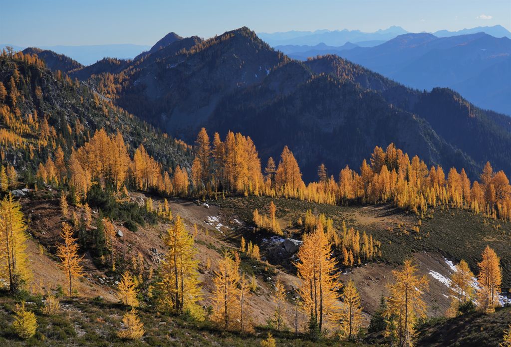
Carne Mountain is a 7,080+ ft (2,160+ m) double-summit mountain located in the Entiat Mountains, a sub-range of the North Cascades, in Chelan County of Washington state. Carne Mountain is situated on the boundary of the Glacier Peak Wilderness, on land managed by the Okanogan–Wenatchee National Forest. Its nearest higher neighbor is Chilly Peak, 1.4 miles (2.3 km) to the northeast, and Ice Box is set 1.7 miles (2.7 km) to the north. Precipitation runoff from the mountain drains east into Rock Creek, or west into Phelps Creek, both tributaries of the Chiwawa River. This peak can be accessed via the 3.7-mile Carne Mountain Trail which gains 3,600 feet of elevation. The mountain once had a fire lookout building on its south peak. Views from the top include Bandit Peak, Brahma Peak, Buck Mountain, Fortress Mountain, Chiwawa Mountain, Mount Maude, Ice Box, and Chilly. This mountain was named by Albert Hale Sylvester for English clergyman W. Stanely Carnes. This feature is pronounced "karn".
There's a trail called Carne Mountain Trail #1508 leading to the summit. Carne Mountain is one of the 1 peaks along the Carne Mountain Trail.
We use GPS information embedded into the photo when it is available.
3D mountains overlay
Adjust mountain panorama to perfectly match your photos because recorded by camera photo position might be imprecise.
Move tool
Rotate tool
Zoom
More customization
Choose which peak labels should make into the final photo and what photo title should be.
Next
Photo Location
Satellitte
Flat map
Relief map
Latitude
Longitude
Altitude
OR
Latitude
°'''
Longitude
°'''
Apply
Register Peak
Peak Name
Latitude
Longitude
Altitude
Register
Teleport
PeakVisor
This 3D model of Sagarmatha National Park in Nepal was made using the PeakVisor app topographic data. The mobile app features higher precision models worldwide, more topographic details, and works offline. Download PeakVisor maps today.
Download OBJ model
PeakVisor
The download should start shortly. If you find it useful please consider supporting the PeakVisor app.
PeakVisor for iOS and Android
Be a superhero of outdoor navigation with state-of-the-art 3D maps and mountain identification in the palm of your hand!