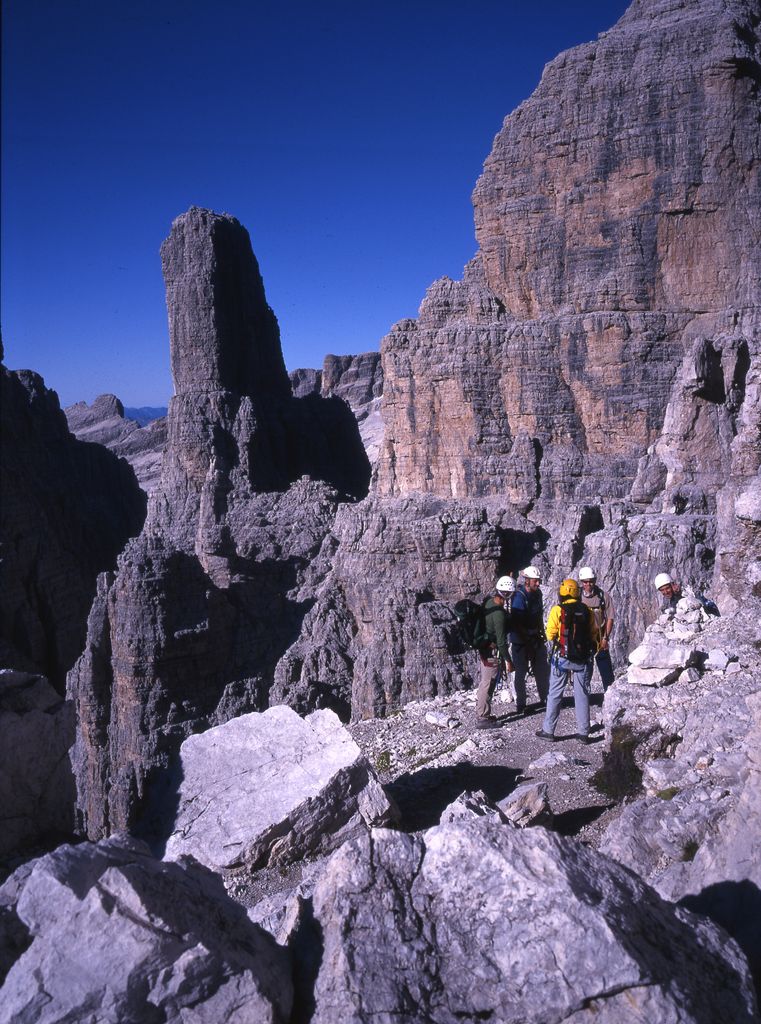
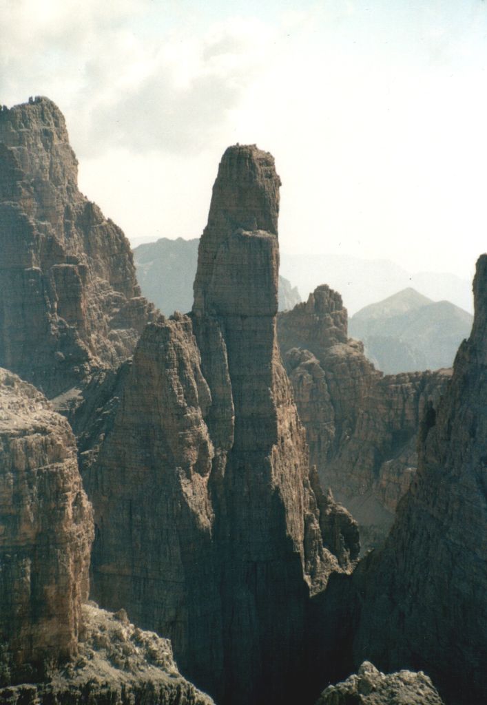
Campanile Basso is a mountain in the Brenta group (It.: Dolomiti di Brenta), a subgroup of the Rhaetian Alps in the Italian Region of Trentino-Alto Adige, with a height of (2,883 metres (9,459 ft)). It is of a slender, almost fully vertical shape on all sides, rising 300 metres straight up. The mountain is named for its similarity in shape to a belltower (It.: campanile) and it being low (It.: basso) compared to the neighboring Campanile Alto and Brenta Alta. The German alpinist Karl Schulz introduced in 1884 the name Guglia di Brenta ("Guglia = "spire"), a name widely used until World War I and especially enduring in German literature, but considered inappropriate by locals and Italian climbers. Geologically, Campanile Basso is entirely formed of Triassic sedimentary rock, dense and compact dolomite. Due to its inaccessible appearance it was long left untouched during the alpine exploration of the Eastern Alps. Around the turn of the century a competitive race for the first ascent started, which took inspiration from the emerging nationalistic feelings in the region, as much as from the ascent of rock climbing as a sport. Most of the illustrious forebears of modern rock climbing climbed this mountain during the first half of the Twentieth century.
The nearest mountain hut is Rifugio Pedrotti located 714m/2 343ft SSE of the summit.
By elevation Campanile Basso is
# 18 out of 207 in the Brenta group # 75 out of 307 in Parco naturale dell'Adamello-Brenta
We use GPS information embedded into the photo when it is available.
3D mountains overlay
Adjust mountain panorama to perfectly match your photos because recorded by camera photo position might be imprecise.
Move tool
Rotate tool
Zoom
More customization
Choose which peak labels should make into the final photo and what photo title should be.
Next
Photo Location
Satellitte
Flat map
Relief map
Latitude
Longitude
Altitude
OR
Latitude
°'''
Longitude
°'''
Apply
Register Peak
Peak Name
Latitude
Longitude
Altitude
Register
Teleport
PeakVisor
This 3D model of Sagarmatha National Park in Nepal was made using the PeakVisor app topographic data. The mobile app features higher precision models worldwide, more topographic details, and works offline. Download PeakVisor maps today.
Download OBJ model
PeakVisor
The download should start shortly. If you find it useful please consider supporting the PeakVisor app.
PeakVisor for iOS and Android
Be a superhero of outdoor navigation with state-of-the-art 3D maps and mountain identification in the palm of your hand!