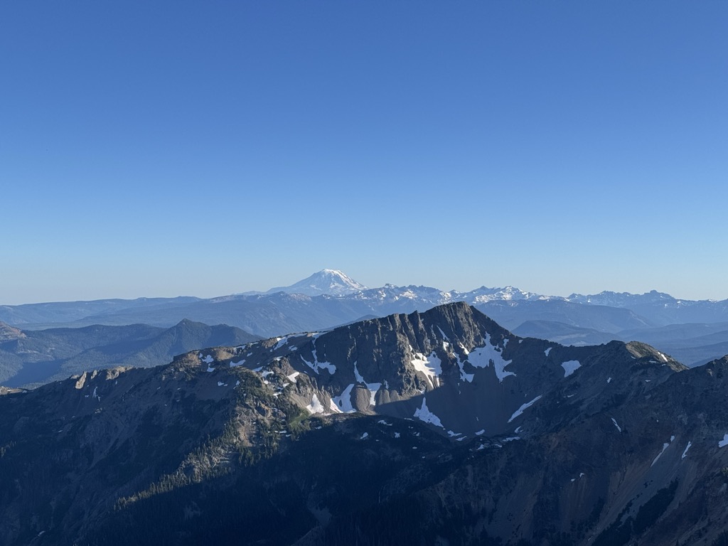
Bismarck Peak is a 7,585-foot-elevation (2,312 meter) mountain summit in Yakima County of Washington state. It is also 24 miles east-southeast of Mount Rainier and centrally located in the William O. Douglas Wilderness, on land administered by the Wenatchee National Forest. Bismarck Peak is situated east of the crest of the Cascade Range, southeast of Bumping Lake, south of Mount Aix, and northwest of Rimrock Lake. Its nearest higher peak is Mount Aix, 2.2 mi (3.5 km) to the north-northeast. Aix and Bismarck are the two highest peaks midway between Mount Rainier National Park and Yakima, Washington so they are quite prominent. Precipitation runoff from Bismarck Peak drains into tributaries of the Yakima River, thence to the Columbia River.
By elevation Bismarck Peak is
# 20 out of 170 in Yakima County # 2 out of 30 in William O. Douglas Wilderness
By prominence Bismarck Peak is
# 45 out of 170 in Yakima County # 19 out of 30 in William O. Douglas Wilderness
We use GPS information embedded into the photo when it is available.
3D mountains overlay
Adjust mountain panorama to perfectly match your photos because recorded by camera photo position might be imprecise.
Move tool
Rotate tool
Zoom
More customization
Choose which peak labels should make into the final photo and what photo title should be.
Next
Photo Location
Satellitte
Flat map
Relief map
Latitude
Longitude
Altitude
OR
Latitude
°'''
Longitude
°'''
Apply
Register Peak
Peak Name
Latitude
Longitude
Altitude
Register
Teleport
PeakVisor
This 3D model of Sagarmatha National Park in Nepal was made using the PeakVisor app topographic data. The mobile app features higher precision models worldwide, more topographic details, and works offline. Download PeakVisor maps today.
Download OBJ model
PeakVisor
The download should start shortly. If you find it useful please consider supporting the PeakVisor app.
PeakVisor for iOS and Android
Be a superhero of outdoor navigation with state-of-the-art 3D maps and mountain identification in the palm of your hand!