Get PeakVisor App
Sign In
Search by GPS coordinates
- Latitude
- ° ' ''
- Longitude
- ° ' ''
- Units of Length

Yes
Cancel
❤ Wishlist ×
Choose
Delete
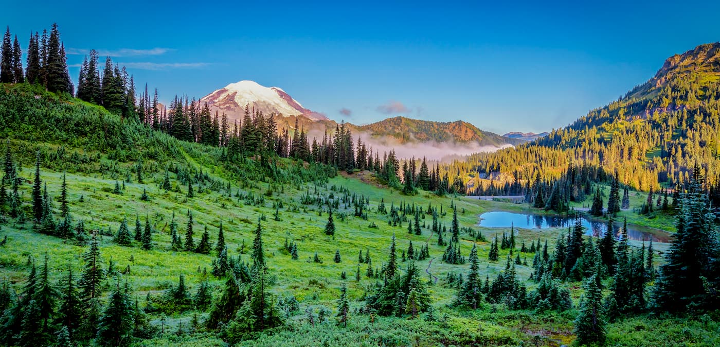
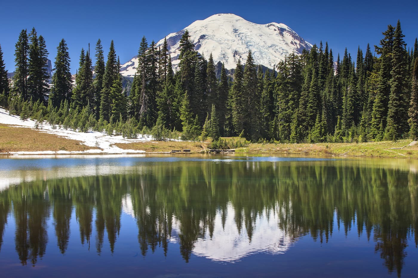
The William O. Douglas Wilderness was named after the late US Supreme Court Justice William O. Douglas. He was known for his commitment to civil rights issues and environmental protection. The region encompasses 169,081 acres and sits just to the east of Mount Rainier National Park with Norse Peak and Goat Rocks Wilderness to the north and south. There are 21 named mountains in William O. Douglas Wilderness. The highest and the most prominent mountain is Mount Aix. Sixty-six trails within the wilderness total about 250 miles of trails. Twenty-five miles of the Pacific Crest Trail pass through this region before continuing north. The western section of the region sits at high elevation while the eastern portion drops to mid-elevation, alpine peaks, bare ridges, and exposed basalt tables and points. The southern portion of the wilderness is known for a thinner forest with over 250 ponds and lakes, making a frequent spot for large herds of deer and elk. The western section can receive upwards of 120 inches of rain per year while the much drier eastern region can get as little as 20 inches.

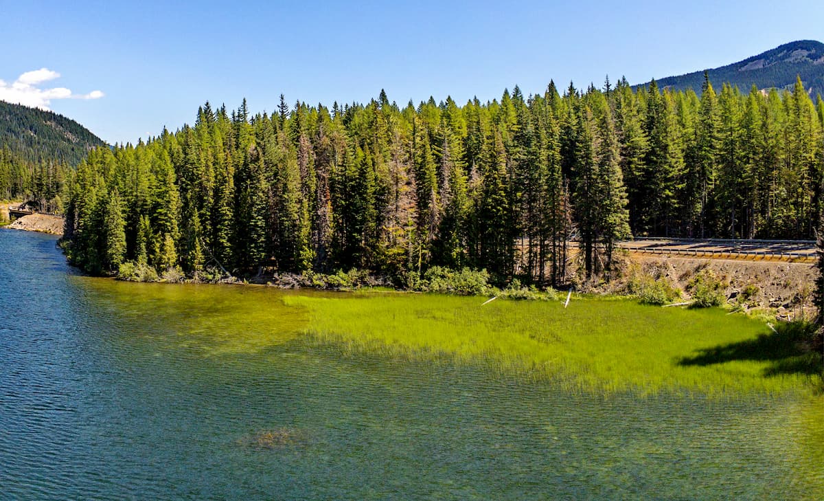
This 6.7 mile out and back trail starts at Dog Lake on Highway 12 before climbing 1,020 feet to Cramer Lake. While many of the hikes within the William O. Douglas Wilderness are multi-day backpacking trips, this trail offers a short but scenic hike within the wilderness. Swim in Cramer Lake mid-hike or set up camp for the night before hiking back down in the morning.

White Pass to Chinook Pass: This point to point backpacking trip takes you from White Pass to Chinook Pass. Though it can be completed in either direction, it is recommended to hike south to north for the most scenic views. The trail totals 28 miles with 2,200 feet of elevation gain. The trail is very well marked due to it being a section on the PCT. This is a great route for beginner backpackers as there is very little elevation for the length. With a multitude of campsites, this route allows hikers to complete the trail in 2-4 days depending on their desired speed. Throughout the route, hikers walk through fields of wildflowers while taking in the breathtaking views of Mount Rainier, Mount St. Helens, and Goat Rocks.

Mount Aix is the tallest peak within the wilderness, standing at 7,755 feet. This 12-mile out and back hike has 4,650 feet of elevation gain until you reach the top of the peak. The trail takes you above the surrounding tree line and offers views in all directions. From the summit on a clear day, hikers can see Mount Adams, Mount St. Helens, Goat Rocks, Mount Rainier, and the Stuart Range. Much of the trail near the top is exposed so be sure to pack plenty of water and nutrition so you can reach this steep peak.
Located in the fertile Yakima Valley of central Washington, the city of Yakima is known for its wineries and apple orchards. At about 55 minutes east from the William O. Douglas Wilderness, the city is a great place to stay or stop by when you are in the area. The Yakima Valley produces over 75% of all hops grown in the United States. The name Yakima comes from the Yakama Nation Native American tribe, with their reservation located just south of the city. The Yakima River runs through the city and offers a 10-mile trail along the edge for running, hiking, or biking.

Explore William O. Douglas Wilderness with the PeakVisor 3D Map and identify its summits.


