Get PeakVisor App
Sign In
Search by GPS coordinates
- Latitude
- ° ' ''
- Longitude
- ° ' ''
- Units of Length

Yes
Cancel
❤ Wishlist ×
Choose
Delete
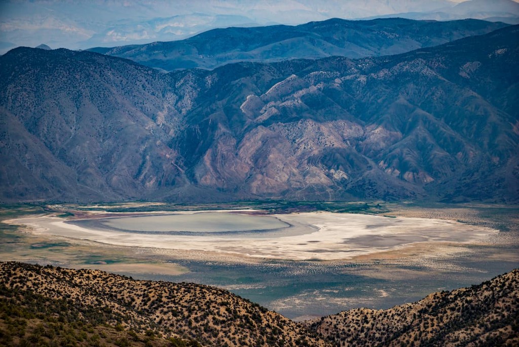
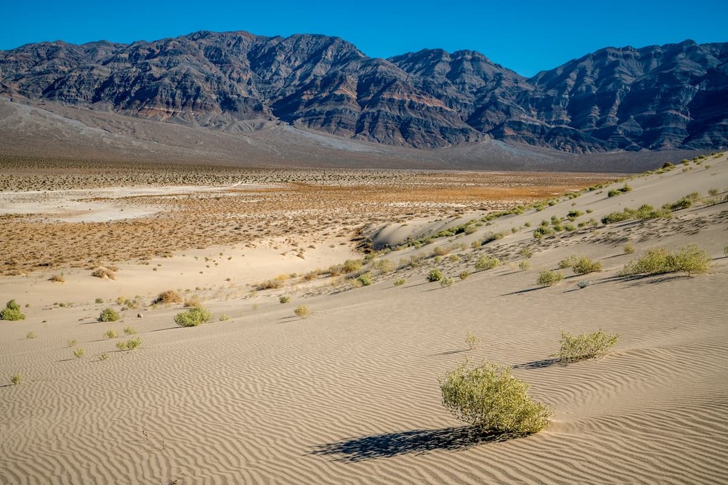
Located in the White Mountains, the Piper Mountain Wilderness encompasses 72,575 acres of mostly wide, barren plains and dry hills in Inyo County, California. Managed by the Bureau of Land Management, the Piper Mountain Wilderness was protected in 1994 for its extraordinary environmental, ecological, cultural, and recreational value for current and future generations.
The Piper Mountain Wilderness encompasses the Great Basin wildlands east of the Owens Valley and west of the Eureka Valley. The Wilderness contains a portion of the Inyo National Forest and shares its borders with both Death Valley and the Sylvania Mountains Wilderness.

The Wilderness is generally dissected into three distinct sections by a series of vehicle corridors.
The western portion of the park is the largest and contains the crest of the Chocolate Mountains, a subrange of the Inyo Mountains. The tallest mountains in the wilderness, Mount Nunn, Lime Hill, and Chocolate Mountain (also known as Piper Mountain), are located in this part of the wilderness.
A road linking State Route 168 to Death Valley Road separates the western and central regions of the wilderness. The landscape in central Piper Mountain Wilderness is characterized by colorful and deeply dissected alluvial fans that rise to a subrange of the Last Chance Mountains.
The third and smallest section of the wilderness is separated from the central portion by Loretto Mine Road and Horse Thief Canyon. This section is a continuation of the Last Chance subrange and lies on the border of the Eureka Valley Road and Death Valley National Park.
The most common vegetation in the Piper Mountain Wilderness is sagebrush and pinyon-juniper woodlands. Conifers grow at higher elevations in the wilderness and Joshua Trees can be spotted at the base of the Inyo Mountains.
Visitors to the Piper Mountain Wilderness are expected to respect all signs, regulations, and leave no trace. There are various signs indicating where visitors can and cannot travel by vehicle – Mechanized or motorized vehicles are not permitted in wilderness areas. Camping is permitted but is limited to 14 days.
Known as ‘Piper Mountain,’ Chocolate Mountain is the northernmost summit in the Inyo Mountains. Chocolate Mountain is a modest, half day climb that gains roughly 1,400 feet of elevation. From the summit, hikers are rewarded with panoramic views of Deep Springs Valley, Fish Lake Valley, and Eureka Valley.

To reach the trailhead, take highway 168 to the pullout at Gilbert Pass. Follow the dirt road west to sign marked ‘Piper Mountain BLM Wilderness.’ From the trailhead, follow an old route through gentle hills and up to the plateau of Chocolate Mountain.
Located in the Owens Valley, between the Sierra Nevada and the White Mountains, Big Pine is a small town with a lot of character. At the center of town, Crocker Street heads west and ascends the Sierra escarpment before entering Big Pine Canyon. Following Big Pine Creek, visitors will find campgrounds, cabins, several scenic hiking trails, fishing spots, and a supply store. A hub for outdoor adventure, Big Pine provides visitors easy access to the Ancient Bristlecone Pine Forest, home to the world’s oldest living trees, Palisade Glacier, Death Valley, and miles of hiking and biking trails in the White Mountains and Eastern Sierra Nevada.

Explore Piper Mountain Wilderness Area with the PeakVisor 3D Map and identify its summits.


